Frisco Area
Campground
Campground · 3.6 mi from the trail
Caution at last check
Agency alerts are in effect for this area; weather is marginal · USFS, OpenWeather · checked 18 h ago
Alert in the area
The Forest Service lists 6 alerts for White River National Forest.
FSR 286, Radical Hill, is closed due to washouts and unsafe conditions
Agency alert covering White River National Forest · USFS · White River National Forest
Limited parking at Snowmass Creek Trailhead
Agency alert covering White River National Forest · USFS · White River National Forest
Grizzly Creek Trail Closure
Agency alert covering White River National Forest · Order 2026-02 · USFS · White River National Forest
Ruedi Marina Day Use area Dump Station is CLOSED
Agency alert covering White River National Forest · USFS · White River National Forest
Asbestos safety closure - Camp Hale
Agency alert covering White River National Forest · USFS · White River National Forest
As of · Source: USFS · White River National Forest. Agencies don't list every closure — check before you go.
North Tenmile Trail is a 10.8-mile out-and-back hike in Colorado's Eagles Nest Wilderness, part of the Dillon Ranger District of the White River National Forest. The trail climbs from a low point of 9,141 feet to a high of 10,810 feet, with a total elevation gain of 2,711 feet. The Forest Service manages the land, and the route is natural-surface, so expect a rougher path than a developed trail. The trail is rated hard, and it is open year-round. The North Tenmile Creek Trailhead is the parking point. Horses are allowed, but bikes are not. Summer is the most comfortable time to go. Typical averages from the nearby Climax weather station show July highs around 67°F with lows near 40°F, while winter brings highs in the mid-20s and frequent snow days from December through February. Nearby, The Cache Wall and 10 Mile Canyon offer climbing within about 2 miles. Heaton Bay Campground and Peak One Campground sit about 5 miles away.
Frisco Area
Campground
 If it rainsPlazak, CC BY 3.0 · Wikimedia Commons
Matchless Mine
Attraction
Places © OpenStreetMap contributors · Photos: Plazak, CC BY 3.0 (commons)
More in Leadville Meadow CreekMountain bikingPhoto: Nathan Anderson nathananderson, CC0 (via Wikimedia Commons)1.9 mi
 Tenmile CreekCanoeingPhoto: Jeffrey Beall, CC BY 3.0 (via Wikimedia Commons)4.5 mi
Source: Roamze catalog (indexable pages within 10 miles, PostGIS distance)
 Superior Mine TrailHiking · ~5 min drivePhoto: QKC, CC BY-SA 3.0 (via Wikimedia Commons)
 Corral Creek TrailHiking · ~7 min drivePhoto: KimonBerlin, CC BY-SA 2.0 (via Flickr)Lily Pad Lake Shoreline Spur TrailHiking · ~6 min drivePhoto: QKC, CC BY-SA 3.0 (via Wikimedia Commons)
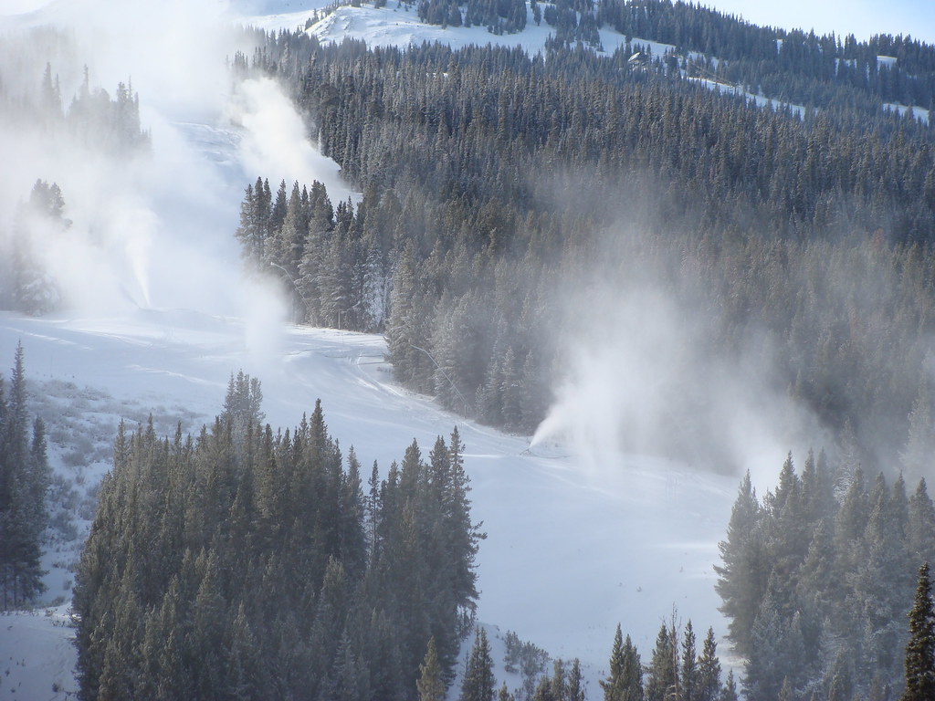 Wheeler LakesHiking · ~6 min drivePhoto: iagoarchangel, CC BY-SA 2.0 (via Flickr)
 Trail near Bills Ranch LakeHiking · ~7 min drivePhoto: D BREW, CC BY-SA 3.0 (via Wikimedia Commons)
No month here meets our mild-weather rule. Best months have typical highs of 55–85 °F, lows of 30 °F or warmer (32 °F where the station doesn't record snow), at most one snowy day and no more than 12 wet days.
Jan
27° / 3°
15 wet · 15 snow
Feb
29° / 3°
15 wet · 15 snow
Mar
35° / 8°
14 wet · 14 snow
Apr
40° / 15°
13 wet · 13 snow
May
49° / 25°
10 wet · 8 snow
Jun
61° / 34°
8 wet · 2 snow
Jul
67° / 40°
13 wet
Aug
64° / 39°
15 wet
Sep
58° / 32°
11 wet · 2 snow
Oct
47° / 21°
9 wet · 7 snow
Nov
35° / 11°
12 wet · 12 snow
Dec
27° / 3°
15 wet · 15 snow
Typical high / low (°F) and days with rain or snow, 1991–2020. Measured at Climax, CO, 14.3 mi away at 11,344 ft. The station sits about 500 ft higher than this place, so expect it a little warmer here. Source: NOAA NCEI U.S. Climate Normals 1991–2020.


