Halfmoon Campground
Campground
Campground · 2.1 mi from the trail
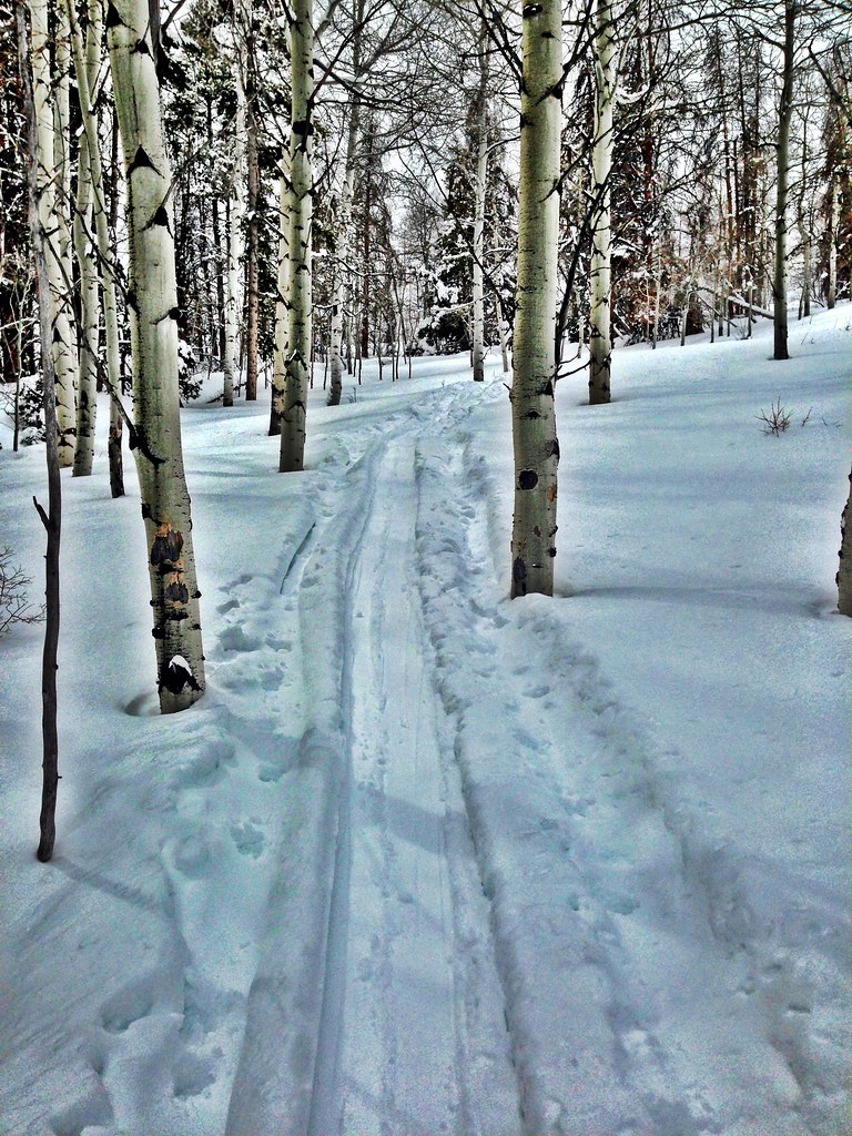
 Photo: kalestews, CC BY 2.0 (via Flickr)
Alert in the area
The Forest Service lists 6 alerts for White River National Forest.
FSR 286, Radical Hill, is closed due to washouts and unsafe conditions
Agency alert covering White River National Forest · USFS · White River National Forest
Limited parking at Snowmass Creek Trailhead
Agency alert covering White River National Forest · USFS · White River National Forest
Grizzly Creek Trail Closure
Agency alert covering White River National Forest · Order 2026-02 · USFS · White River National Forest
Ruedi Marina Day Use area Dump Station is CLOSED
Agency alert covering White River National Forest · USFS · White River National Forest
Asbestos safety closure - Camp Hale
Agency alert covering White River National Forest · USFS · White River National Forest
As of · Source: USFS · White River National Forest. Agencies don't list every closure — check before you go.
Notch Mountain is a 5.8-mile out-and-back hike in Colorado's Holy Cross Wilderness, part of the Holy Cross Ranger District of the White River National Forest. The trail climbs from about 11,250 feet to 13,086 feet, a gain of 1,835 feet, and is rated moderate. The Forest Service manages the land, and the route is on natural surface. Horses are allowed, but bikes are not. The trip is open year-round, and the surrounding wilderness makes it a destination for a full day in the backcountry. Fall Creek lies about 1.7 miles away, and Mount of the Holy Cross is about 2 miles off. Halfmoon Campground, about 2.1 miles away, offers a place to stay. Homestake Creek, roughly 3 miles away, is a paddling option.
Halfmoon Campground
Campground
Hot Heads Chicken
Fast food
 If it rainsCraig Talbert, CC BY 3.0 · Wikimedia Commons
Places © OpenStreetMap contributors · Photos: Craig Talbert, CC BY 3.0 (commons)
More in Leadville Homestake CreekCanoeingPhoto: Jeffrey Beall, CC BY 4.0 (via Wikimedia Commons)3 mi
 Eagle RiverCanoeingPhoto: Thad Roan from Littleton, CO, USA, CC BY-SA 2.0 (via Wikimedia Commons)4.4 mi
Source: Roamze catalog (indexable pages within 10 miles, PostGIS distance)
 Notch MountainHiking · ~3 min drivePhoto: kalestews, CC BY 2.0 (via Flickr)
 Kletter GardenHiking · ~7 min drivePhoto: KimonBerlin, CC BY-SA 2.0 (via Flickr)
 JACKAL HUT VIA RANCH CREEKHiking · ~13 min drivePhoto: KimonBerlin, CC BY-SA 2.0 (via Flickr)
 Halo Ridge TrailHiking · ~4 min drivePhoto: kalestews, CC BY 2.0 (via Flickr)
 Whiskey CreekHiking · ~14 min drivePhoto: wka, CC BY-SA 2.0 (via Flickr)
 Grouse LakeHiking · ~13 min drivePhoto: jrm353, CC BY 2.0 (via Flickr)
 Ptarmigan Spur 4BHiking · ~14 min drivePhoto: Moo.The.Cow, CC BY 2.0 (via Flickr)

