Music Pass
- 2.3 mi
- round trip
- 726 ft
- climb
- 11,420 ft
- high point
- Out and back
- route
Is Music Pass open right now?
Closure in the area
There's a closure order in San Carlos Ranger District. It doesn't name Music Pass, so check the source for the area it covers.
East Bear Gulch NFST 1333 seasonal closure
Agency closure covering San Carlos Ranger District · Order 02-12-03-26-14 · USFS · San Carlos Ranger District
Reduced Aspen Acres Fire closure order
Agency alert covering San Carlos Ranger District · Order 02-12-03-26-43 · USFS · San Carlos Ranger District
FSR 286, Radical Hill, is closed due to washouts and unsafe conditions
Agency alert covering Pike and San Isabel National Forests · USFS · Pike and San Isabel National Forests
Interlaken Hotel Tree Hazards
Agency alert covering Pike and San Isabel National Forests · USFS · Pike and San Isabel National Forests
Sharpe Fire Update
Agency alert covering Pike and San Isabel National Forests · USFS · Pike and San Isabel National Forests
As of · Source: USFS · San Carlos Ranger District. Agencies don't list every closure — check before you go.
Music Pass is an easy out-and-back hike on the Forest Service land of the San Carlos Ranger District, part of the Pike and San Isabel National Forests in Colorado. The route starts at the Music Pass Trailhead and rises from about 10,678 feet to a high point of 11,420 feet, with a total climb of about 726 feet over roughly 2.3 miles. The trail is a natural-surface path that allows both horses and bikes. It is open year-round, and the Forest Service manages the land. Several other hikes sit within a short distance of the pass. Milwaukee Peak, Music Mountain and Tijeras Peak are each about 0.2 miles away. Marble Mtn. is about 2.6 miles off, and Medano Camping Area is about 6.1 miles away for overnight stays.
Local outfitters
- San Luis Valley Campground32 mi away
- Journey Quest34 mi away
Not on Roamze yet. Their page has how to reach them.
- Milwaukee PeakHiking0.2 mi
- Music MountainHiking0.2 mi
- Tijeras PeakHiking0.2 mi
- Marble Mtn.Hiking2.6 mi
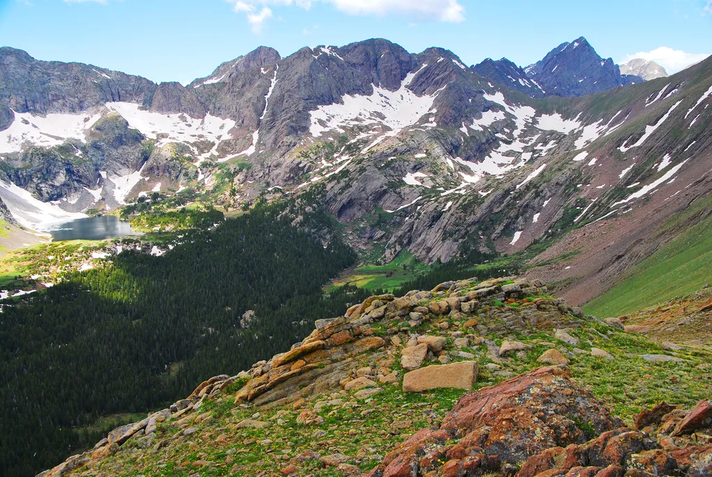 Sand Creek BasinHikingPhoto: NPS / public domain2.7 mi
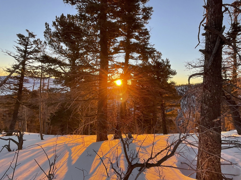 Crestone NeedleHikingPhoto: kalestews, CC BY 2.0 (via Flickr)3.6 mi
- The CrestonesRock climbing5.9 mi
- Medano Camping AreaCamping6.1 mi
Source: Roamze catalog (indexable pages within 10 miles, PostGIS distance)
- Sand Creek BasinHiking · ~5 min drive
 South ColonyHiking · ~8 min drivePhoto: kalestews, CC BY 2.0 (via Flickr)
- Hidden DuneHiking · ~18 min drive
 Mount AdamsHiking · ~18 min drivePhoto: Todd Dwyer, CC BY-SA 3.0 (via Wikimedia Commons)
- Marble Mtn.Hiking · ~5 min drive
- Horn PeakHiking · ~16 min drive
- Macey SpurHiking · ~12 min drive
- Medano PassHiking · ~10 min drive
- Obstruction PeakHiking · ~6 min drivePhoto: Todd Dwyer, CC BY-SA 3.0 (via Wikimedia Commons)
- Broken Hand PassHiking · ~8 min drive

