Broken Hand Pass
- 4.1 mi
- round trip
- 1,929 ft
- climb
- 12,939 ft
- high point
- Out and back
- route
Is Broken Hand Pass open right now?
Closure in the area
There's a closure order in Rio Grande National Forest. It doesn't name Broken Hand Pass, so check the source for the area it covers.
Closures and dangerous conditions on roads, bridges, and trails from flooding
Agency closure covering Rio Grande National Forest · USFS · Rio Grande National Forest
As of · Source: USFS · Rio Grande National Forest. Agencies don't list every closure — check before you go.
Broken Hand Pass is a 4.1-mile out-and-back hike in Colorado's Sangre de Cristo Wilderness, within the Saguache Ranger District of the Rio Grande National Forest. The trail climbs from about 11,659 feet to 12,939 feet, a gain of 1,929 feet, and is rated moderate. The Forest Service manages the land, and the route is natural-surfaced and not accessible. The pass lies in designated wilderness, so plan for a backcountry outing. The trip is open year-round, and the trail is not open to bikes. Several other destinations sit close by. South Colony is about 0.7 miles away, and The Crestones, a climbing area, is about 0.9 miles off. Cottonwood Creek Trail is about a mile away, and Sand Creek Basin is about 2.2 miles away.
 South ColonyHikingPhoto: kalestews, CC BY 2.0 (via Flickr)0.7 mi
- The CrestonesRock climbing0.9 mi
- Cottonwood Creek TrailHiking1 mi
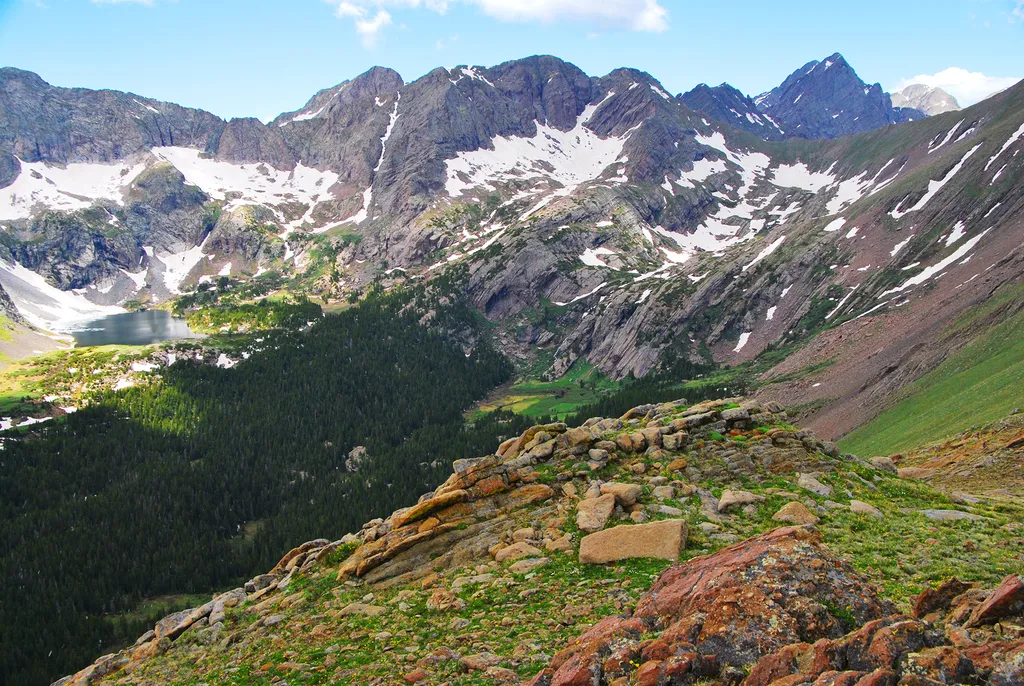 Sand Creek BasinHikingPhoto: NPS / public domain2.2 mi
- Burnt Gulch Trail 4WD Parking & CampCamping6.3 mi
- Burnt Gulch Trail CampCamping6.4 mi
 CrestoneRock climbingPhoto: ikewinski, CC BY 2.0 (via Flickr)7.4 mi
- North Crestone Creek CampgroundCamping7.5 mi
Source: Roamze catalog (indexable pages within 10 miles, PostGIS distance)
- South ColonyHiking · ~1 min drivePhoto: kalestews, CC BY 2.0 (via Flickr)
- Sand Creek BasinHiking · ~4 min drive
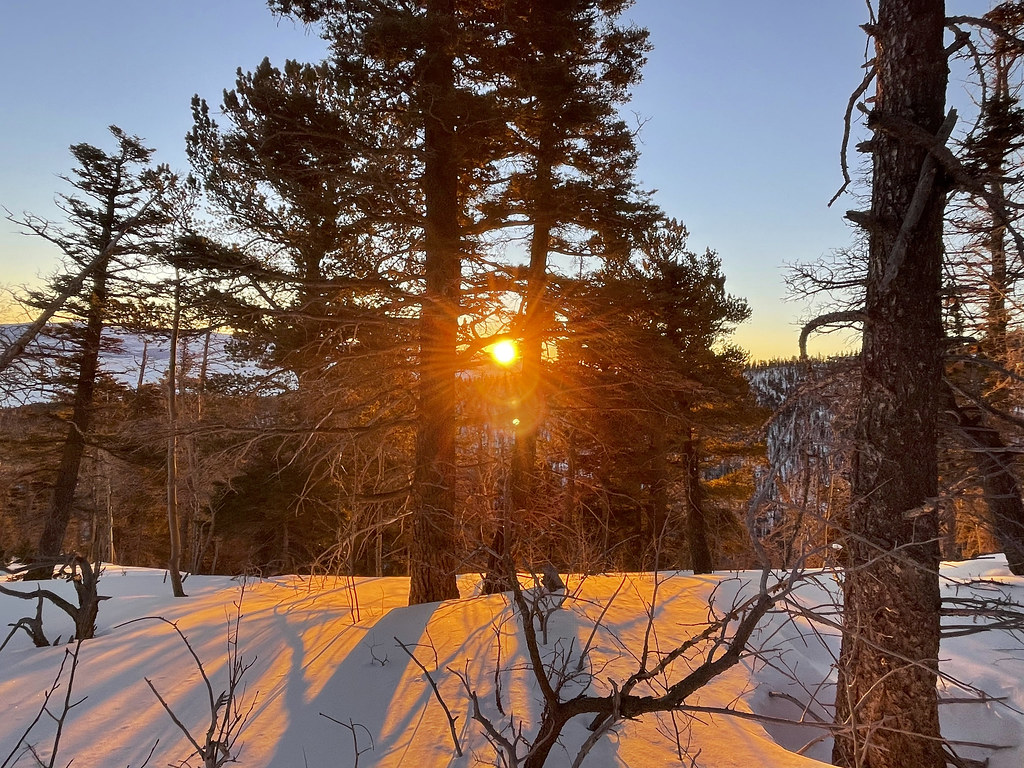 Crestone NeedleHiking · ~6 min drivePhoto: kalestews, CC BY 2.0 (via Flickr)
- Copper Gulch trailHiking · ~6 min drive
- Macey SpurHiking · ~5 min drive
- Horn PeakHiking · ~11 min drive
- Humboldt PeakHiking · ~6 min drivePhoto: kalestews, CC BY 2.0 (via Flickr)
- Rainbow Trail (FS1336)Hiking · ~8 min drive
- Copper Gulch trailHiking · ~8 min drive
- Cottonwood Creek TrailHiking · ~2 min drive
Also worth it near here
