Bellaire Lake Campground
Campground
Campground · 1.6 mi from the trail
Alert in the area
The Forest Service lists 4 alerts for Canyon Lakes Ranger District.
Salt Cabin Prescribed (RX) Fire Closure
Agency alert covering Canyon Lakes Ranger District · Order 02-10-05-26-11 · USFS · Canyon Lakes Ranger District
Fire Restrictions
Agency alert covering Arapaho and Roosevelt National Forests · USFS · Arapaho and Roosevelt National Forests
West Crystal A - Mechanical Fuelbreak Area and Road Closure
Agency alert covering Canyon Lakes Ranger District · Order 02-10-05-26-04 · USFS · Canyon Lakes Ranger District
Cameron Peak Fire Road Closures
Agency alert covering Canyon Lakes Ranger District · Order 02-10-05-26-01 · USFS · Canyon Lakes Ranger District
As of · Source: USFS · Canyon Lakes Ranger District. Agencies don't list every closure — check before you go.
Molly Moon is a 4.2-mile out-and-back hike in Colorado's Canyon Lakes Ranger District of the Arapaho and Roosevelt National Forests, managed by the Forest Service. The trail rises from 8,209 feet to 8,544 feet, a gain of about 335 feet over the course of the trip, and is rated moderate. The trail is open year-round, and its natural surface makes it suitable for horses and bikes. The route's gentle climb is broken into a straightforward profile, with the high point roughly in the middle of the out-and-back. Summer is the most comfortable time to go. Typical July highs reach about 78°F with lows near 47°F, according to averages from a nearby weather station at Rustic. That station sits about 840 feet below the trail's high point, so temperatures on the summit run a little cooler. Nearby, Elkhorn Creek offers mountain biking about 0.4 miles away, and the Elkhorn Cowpath hike is about half a mile off. For an overnight stay, Bellaire Lake Campground is about 1.6 miles away and West Lake Campground about 2 miles away.
Bellaire Lake Campground
Campground
Homestead Museum
Museum
Places © OpenStreetMap contributors
More in Red Feather LakesNot on Roamze yet. Their page has how to reach them.
Best months: May–September. Best months have typical highs of 55–85 °F, lows of 30 °F or warmer (32 °F where the station doesn't record snow), at most one snowy day and no more than 12 wet days.
Jan
36° / 15°
5 wet
Feb
36° / 15°
5 wet
Mar
44° / 20°
6 wet
Apr
49° / 25°
8 wet
May
59° / 32°
9 wet
Jun
72° / 40°
8 wet
Jul
78° / 47°
9 wet
Aug
76° / 46°
10 wet
Sep
69° / 38°
8 wet
Oct
56° / 29°
6 wet
Nov
44° / 21°
5 wet
Dec
36° / 15°
5 wet
Typical high / low (°F) and days with rain or snow, 1991–2020. Measured at Rustic 9wsw, CO, 7.9 mi away at 7,700 ft. The station sits about 800 ft lower than this place, so expect it a little cooler here. This station doesn't record snowfall. Source: NOAA NCEI U.S. Climate Normals 1991–2020.
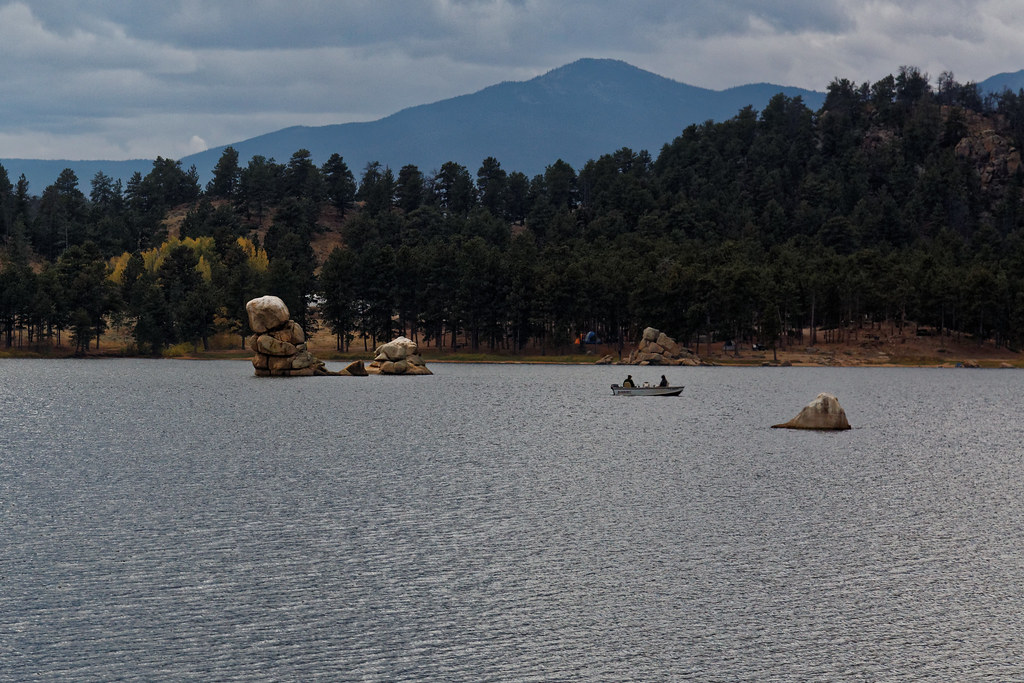 Photo: KimonBerlin, CC BY-SA 2.0 (via Flickr)
Trail Between The Pines
~4 min drive
0.62-mile out-and-back hike in Colorado with 285 ft elevation gain.
 Photo: Tony Webster, CC BY 2.0 (via Flickr)
Lower Dadd Gulch
~9 min drive
7.04-mile out-and-back trail in Colorado with 1,257 ft elevation gain.
HIKE
Granite Ridge
~2 min drive
14.70-mile out-and-back trail in Colorado managed by Arapaho and Roosevelt National Forests.
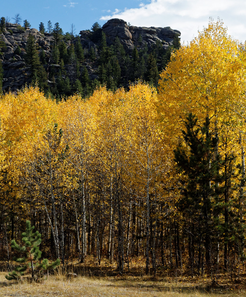 Photo: KimonBerlin, CC BY-SA 2.0 (via Flickr)
Mount Margaret Trail
~4 min drive
1.32-mile out-and-back trail in Colorado with 256 ft elevation gain.
HIKE
Elkhorn Creek
~2 min drive
7.98-mile out-and-back trail in Colorado with 667 ft elevation gain.
HIKE
Frog Pond Trail
~8 min drive
A 15.36-mile out-and-back trail in Colorado that connects to Mount Margaret Trail and East Dowdy Trail.
Photo: KimonBerlin, CC BY-SA 2.0 (via Flickr)Mount Margaret Trail
~4 min drive
5.7 mi · Easy
HIKE
Lady Moon
~4 min drive
5.53-mile out-and-back trail in Colorado with 170 ft elevation gain.
HIKE
Columbine
~8 min drive
19 mi · Hard
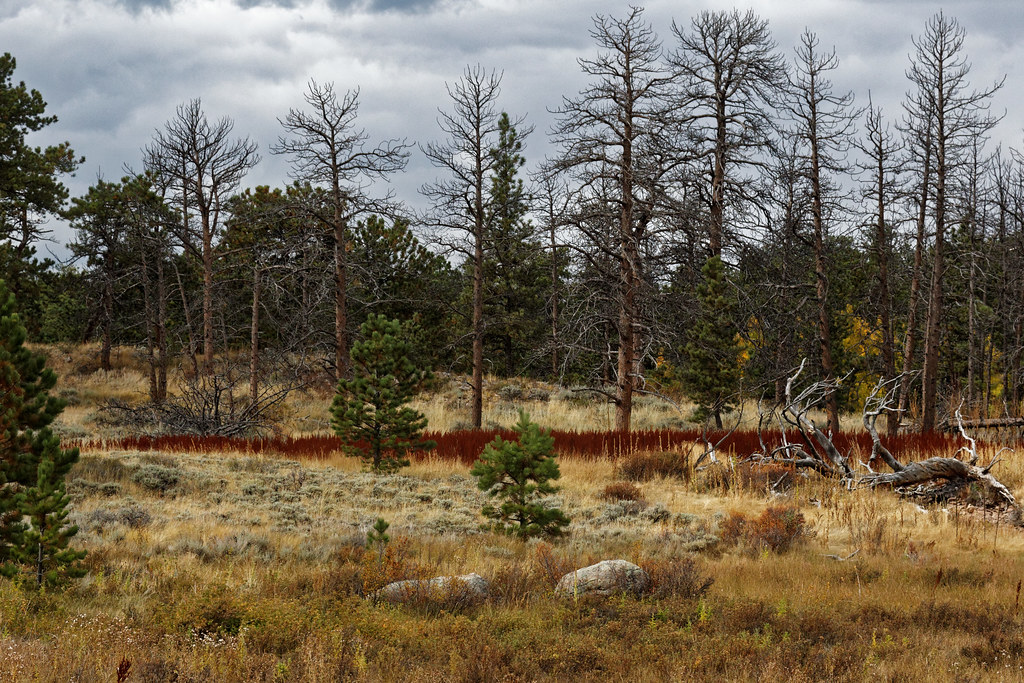 Photo: KimonBerlin, CC BY-SA 2.0 (via Flickr)
East Dowdy Lake
~5 min drive
2.94-mile out-and-back to East Dowdy Lake in Colorado, 66 ft gain.
