
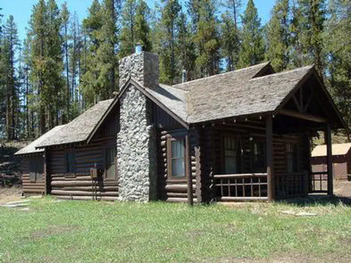
Alpine Lodge at Red Feather Lakes
Hiking business nearby (~21 mi away) — hasn't claimed their Roamze page yet
Free — you'll pick up right here.
Watch this trail
Sign up to watch it — saving subscribes you to gate, closure and report changes.
Colorado
7.2 mi
Distance
1,354 ft
Gain
We won't guess. Here is exactly what we do and don't know.
What we do know
Inside Arapaho and Roosevelt National Forests
3 managing-area boundaries mapped — agency alerts for them feed this page automatically.
Boundary data
What's missing
No access route mapped
We don't yet know which road reaches this trailhead, so we can't tell you if it's gated.
Nobody's filed a report here yet — be the first.
Why you'll love it
Mcintyre Creek
AI-suggested draft · review before you go
Mcintyre Creek is a 7.2-mile out-and-back trail located in Colorado near Colorado, managed by the White River National Forest's Eagle-Holy Cross Ranger District. The trail follows Mcintyre Creek through the National Forest, offering hikers a scenic waterway experience in the high country. The out-and-back format allows visitors to choose their own turnaround point, making it accessible for hikers of varying abilities and time constraints. The trail provides access to the natural features along Mcintyre Creek and the surrounding White River National Forest landscape. This area is part of the Eagle-Holy Cross Ranger District, which encompasses diverse terrain and ecosystems across the central Colorado Rockies. The creek-side setting offers opportunities to experience riparian habitat and mountain stream ecology. Given the 7.2-mile total distance, hikers can expect a substantial day hike with creek views and forest setting. The trail is suitable for those looking to explore the White River National Forest's water features and enjoy the natural environment of the Eagle-Holy Cross area.

Blue Lake
~24 min drive
19 mi · Hard
Chambers Lake
~25 min drive
3.1 mi · Moderate

Blue Lake Trail
~26 min drive
2.2 mi · Easy
Long Draw
~26 min drive
26 mi · Hard

Cameron Connection
~30 min drive
4.1 mi · Moderate
Joe Wright Winter
~27 min drive
1.2 mi · Easy
Sawmill Snow
~27 min drive
6.2 mi · Hard
Montgomery Pass
~30 min drive
An easy 5.49-mile out-and-back trail in Colorado featuring dirt road and rocky terrain, with connections to Montgomery Pass East.
Zimmerman Lake Snow
~30 min drive
2.3 mi · Easy
Meadow Snow
~28 min drive
7.9 mi · Hard
Local operatorsoffering guided trips. You book directly with them — Roamze doesn’t take a cut.
Alpine Lodge at Red Feather Lakes
Hiking business nearby (~21 mi away) — hasn't claimed their Roamze page yet