

Wildcat Mountaineering
Hiking business nearby (~22 mi away) — hasn't claimed their Roamze page yet
Many Parks Curve
Free — you'll pick up right here.
Watch this trail
Sign up to watch it — saving subscribes you to gate, closure and report changes.
Colorado
We won't guess. Here is exactly what we do and don't know.
What we do know
Inside Rocky Mountain National Park
National Park unit boundary is mapped — agency alerts for it feed this page automatically.
Boundary data
What's missing
No access route mapped
We don't yet know which road reaches this trailhead, so we can't tell you if it's gated.
Nobody's filed a report here yet — be the first.
Many Parks Curve
AI-suggested draft · review before you go
No elevation data on file for this trail.
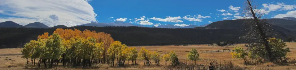
Get panoramic views of Rocky Mountain National Park! Along the Trail Ridge Road, use this pull out to see a scenic vista of ‘many parks’, meaning low-land meadows. Moraine Park, Upper Beaver Meadows, and Horseshoe Park meadows are visible with a backdrop of Deer Mountain and Longs Peak. Help keep wildlife wild. Never approach or feed wildlife. Animals that learn people are a source of food can become aggressive or stop hunting or foraging on their own. Keep your distance - it's the law! You could be hurt or issued a fine. Note: Trail Ridge Road closes from here west to Colorado River Trailhead mid-October to Memorial Day. Extreme weather can change the status of Trail Ridge Road at any time—be ready to adjust your travel plans if needed, and always check the weather before you start your drive. Altitude Warning: Altitude sickness affects many visitors every year. Symptoms include headache, nausea, fatigue, dizziness, vomiting, and even unconsciousness. Altitude can also aggravate pre-existing conditions like heart and lung disease. Take your time, drink water, eat, and rest. The only cure for altitude sickness is to go down to a lower altitude.
Horseshoe Park
~2 min drive
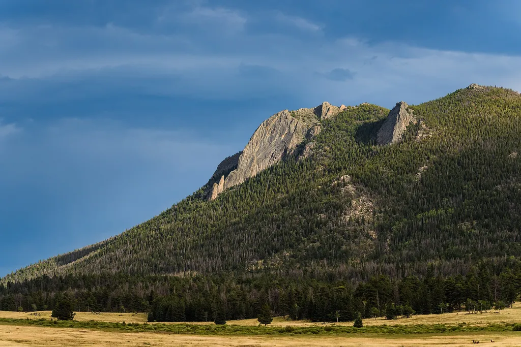
<p>Horseshoe Park is a low-land meadow with small lakes, great views of the Mummy Mountain Range, and top-notch wildlife viewing opportunities.</p> <p><strong>West Horseshoe Park Pullout:</strong> This pullout contains limited parking spaces that can be used to access the surr…
Sheep Lakes
~2 min drive
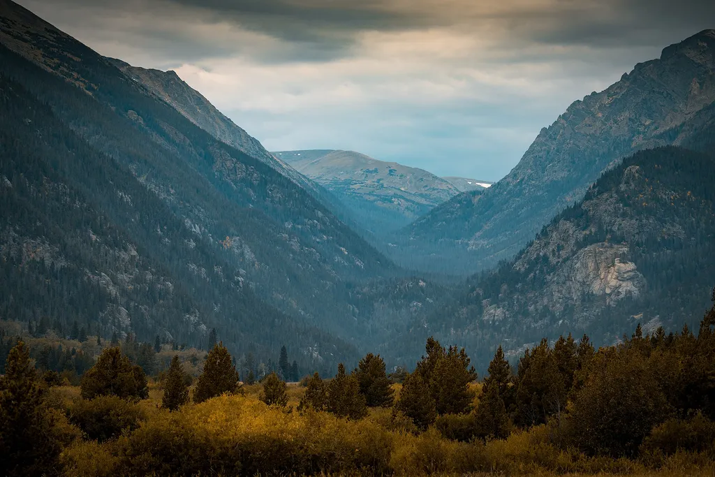
<p>A few miles from the Fall River Entrance, Sheep Lakes offers a dramatic view of Horseshoe Park.</p> <p>Carved by the journey of ancient glaciers, this beautiful meadow is a great place to view wildlife. The area is named for the bighorn sheep that come down from the mountai…

Fern Lake Trail
~9 min drive
15 mi · Hard

Glacier Gorge Trail
~9 min drive
11 mi · Moderate
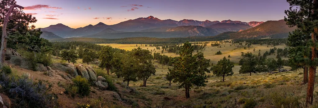
Deer Mountain
~2 min drive
<p>Starting at Deer Ridge Junction, the trail to Deer Mountain offers stunning scenic views and wildlife viewing opportunities.<br /> <br /> Since this trail begins at a lower starting elevation, the trail to Deer Mountain has less snow compared to other trails to mountain sum…
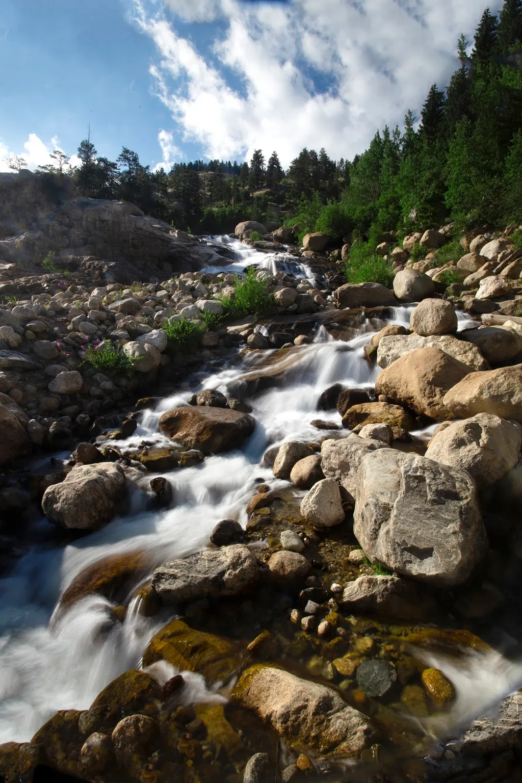
Alluvial Fan
~3 min drive
<p>Located off the road to Endovalley, the Alluvial Fan is a beautiful cascade of water flowing down through a boulder field.</p> <p>Reconstructed in 2020, the trail to the Alluvial Fan was designed to be fully accessible. From the west, this path meanders up to a 56-foot brid…

Flat Top Mountain Trail
~11 min drive
8.5 mi · Moderate
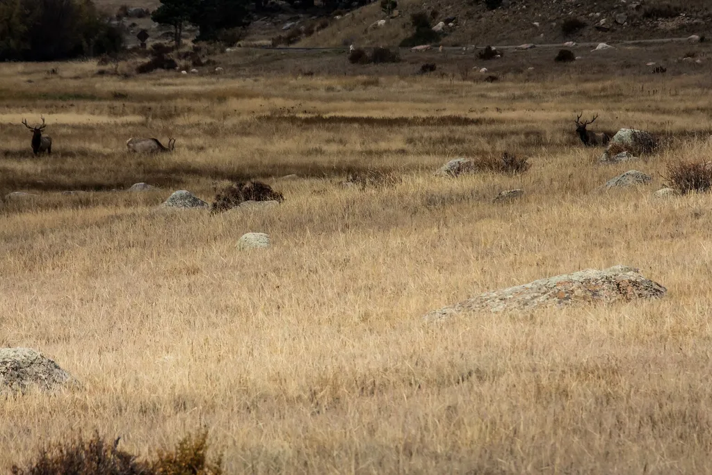
Moraine Park
~5 min drive
<p>Get awe-inspiring views of the Rocky Mountains!</p> <p>Moraine Park is located and accessed off of Bear Lake Road. Here, you can find trailheads for both Cub Lake and Fern Lake.</p> <p>A relic of geologic history, Moraine Park was carved by ancient glaciers that flowed thro…
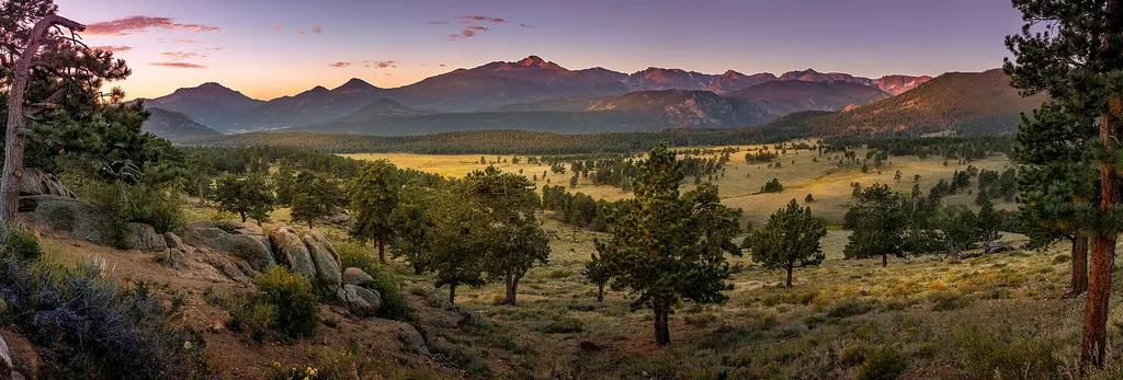
Upper Beaver Meadows Picnic Area
~3 min drive
<p>Picnic time!</p> <p>Stop along Upper Beaver Meadows road to enjoy a secluded picnic area overlooking peaceful meadows with the backdrop of the Continental Divide.</p> <p><strong>Tables: </strong>10<br /> <strong>Fire Grates:</strong> 6<br /> <strong>Use of portable grills*:…

Lily Mountain
~12 min drive
4.0 mi · Moderate
Local operatorsoffering guided trips. You book directly with them — Roamze doesn’t take a cut.
Wildcat Mountaineering
Hiking business nearby (~22 mi away) — hasn't claimed their Roamze page yet
Alpine Lodge at Red Feather Lakes
Hiking business nearby (~28 mi away) — hasn't claimed their Roamze page yet
Camp Always Choose Adventures
Hiking business nearby (~40 mi away) — hasn't claimed their Roamze page yet