Rocky Mountain National Park Aspenglen Campground
Campground
Campground · 1.8 mi from the trail
 Photo: plutonature333, CC BY-SA 3.0 (via Wikimedia Commons)
Road closed
US 34: road closure is listed as closed by CDOT 511.
US 34: road closure
Closed · ~1.7 km from Hagues Peak · CDOT 511
Trail Ridge Road is Closed to Through Travel for the Season
Park closure covering Rocky Mountain National Park · NPS · Rocky Mountain National Park
As of · Source: CDOT 511. Agencies don't list every closure — check before you go.
Hagues Peak is a 17-mile out-and-back hike in Rocky Mountain National Park, Colorado, rising to 13,560 feet with a total elevation gain of 5,745 feet. The route is an expert-level challenge, and the park's National Park Service manages the land. The climb is a long, steep day. As the trip profile shows, the route starts and ends at nearly the same point, with roughly 5,745 feet gained and lost over the course of the hike. The high point sits at the summit of Hagues Peak, and the route passes within a tenth of a mile of Fairchild Mountain and Rowe Peak. The hike takes about 8.5 hours. For an overnight base, Rocky Mountain National Park Aspenglen Campground is about 1.8 miles away, and Moraine Park Campground is about 3.3 miles away. Climbers can head to McGregor Slab, about 2.2 miles off.
Rocky Mountain National Park Aspenglen Campground
Campground
Images of Rocky Mountain National Park
Gallery
Places © OpenStreetMap contributors, Places © Overture Maps Foundation
More in Estes ParkNot on Roamze yet. Their page has how to reach them.
Daily highs and lows, wind and the chance of precipitation at the summit and route start for the next 7 days, from the Open-Meteo model.
Fairchild MountainHikingPhoto: plutonature333, CC BY-SA 3.0 (via Wikimedia Commons)0.1 miRowe PeakHikingPhoto: plutonature333, CC BY-SA 3.0 (via Wikimedia Commons)0.1 mi North Fork Big Thompson RiverCanoeingPhoto: Unknown author, Public domain (via Wikimedia Commons)9.2 mi
Source: Roamze catalog (indexable pages within 10 miles, PostGIS distance)
 Ypsilon Lake TrailHiking · ~2 min drivePhoto: plutonature333, CC BY-SA 3.0 (via Wikimedia Commons)
 Beaver Meadows / Moraine Park Complex TrailHiking · ~5 min drivePhoto: christinejwarner, CC BY 2.0 (via Flickr)
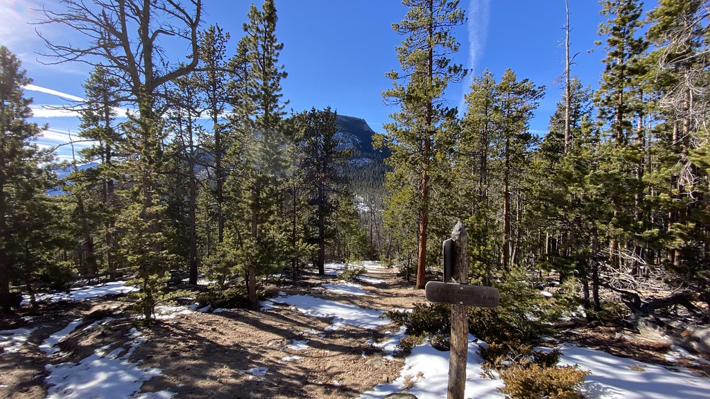 Black Canyon TrailHiking · ~6 min drivePhoto: lamblukas, CC BY 2.0 (via Flickr)
 Beaver Ponds on Trail Ridge RoadHiking · ~2 min drivePhoto: cogdogblog, CC BY 2.0 (via Wikimedia Commons)
 Little Horseshoe Park TrailHiking · ~3 min drivePhoto: Christian Collins, CC BY-SA 2.0 (via Flickr)
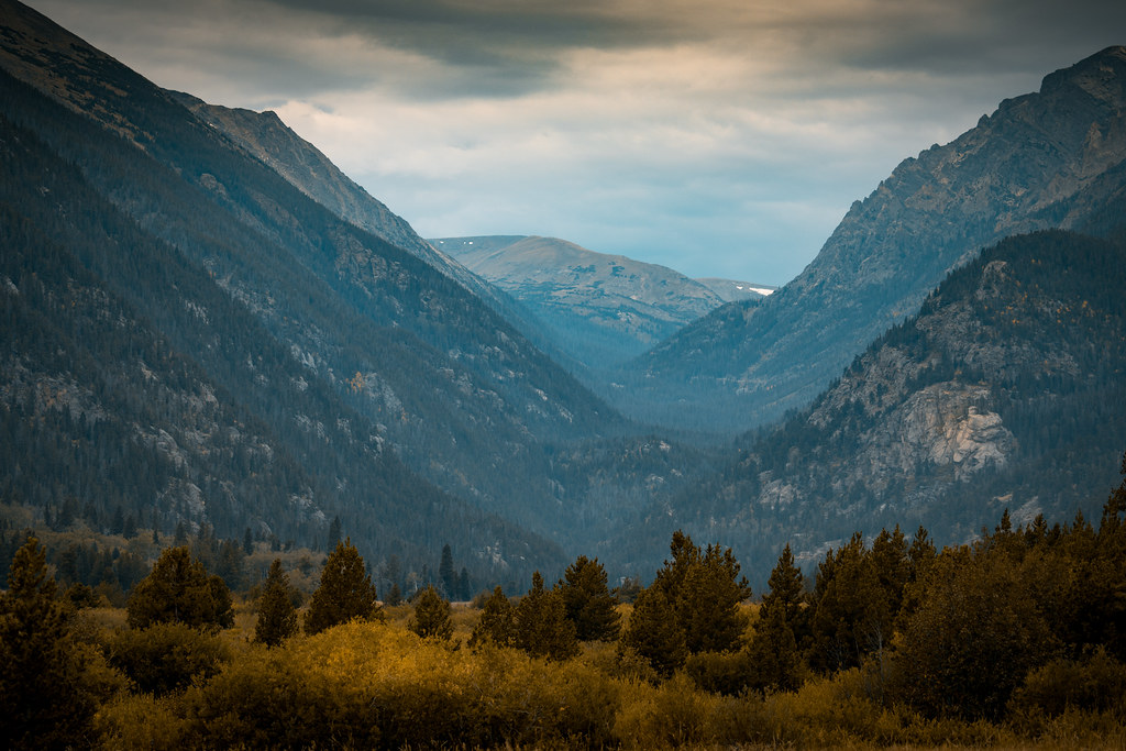 Mummy MountainHiking · Next doorPhoto: Christian Collins, CC BY-SA 2.0 (via Flickr)
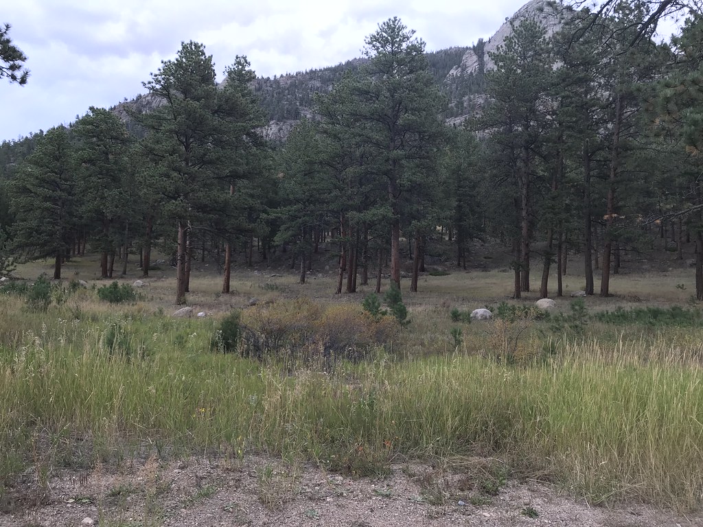 Aspenglen TrailHiking · ~3 min drivePhoto: DrGBB, CC BY 2.0 (via Flickr)
About 17.1 mi round trip from Lawn Lake Trailhead.
About 5,745 ft of climbing round trip.
It is rated expert.
Lawn Lake Trailhead.
© openrouteservice.org by HeiGIT | Map data © OpenStreetMap contributors

