Rocky Mountain National Park Aspenglen Campground
Campground
Campground · 1.3 mi from the trail
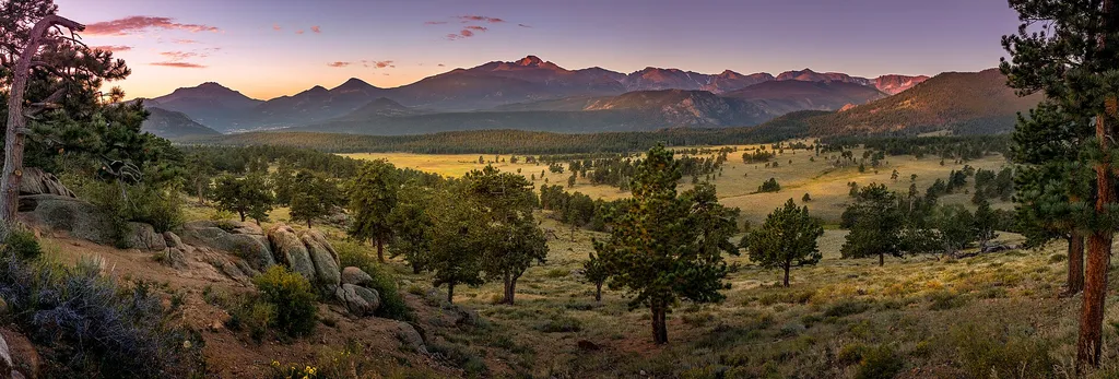 Photo: Christian Collins — Wikimedia Commons (CC BY-SA 2.0)
Road closed
US 34: road closure is listed as closed by CDOT 511.
US 34: road closure
Closed · ~1.8 km from Deer Mountain · CDOT 511
Prescribed Fire Operations are Underway near Beaver Meadows Visitor Center
Park closure covering Rocky Mountain National Park · NPS · Rocky Mountain National Park
As of · Source: CDOT 511. Agencies don't list every closure — check before you go.
Deer Mountain is an easy hike in Rocky Mountain National Park in Colorado, managed by the National Park Service. The trailhead is named Deer Mountain Trailhead, and the route is short enough to fit into a day of exploring the park's network of trails and climbing areas. Summer is the most comfortable time to go. Typical averages from a nearby weather station at Allenspark put July highs around 74°F with lows near 44°F, while winter highs stay around freezing. Several other destinations sit close by. Little Horseshoe Park Trail is about half a mile away, and Upper Beaver Meadows Trail is about 0.7 miles off. Climbers can head to Little Matterhorn, roughly 0.9 miles away, and Rocky Mountain National Park Aspenglen Campground is about 1.3 miles from the trailhead.
Rocky Mountain National Park Aspenglen Campground
Campground
Images of Rocky Mountain National Park
Gallery
Places © OpenStreetMap contributors
More in Estes ParkNot on Roamze yet. Their page has how to reach them.
Best months: May–September. Best months have typical highs of 55–85 °F, lows of 30 °F or warmer (32 °F where the station doesn't record snow), at most one snowy day and no more than 12 wet days.
Jan
32° / 14°
Feb
35° / 15°
Mar
42° / 20°
Apr
46° / 23°
May
56° / 32°
Jun
69° / 38°
Jul
74° / 44°
Aug
73° / 43°
Sep
66° / 36°
Oct
52° / 29°
Nov
41° / 20°
Dec
33° / 14°
Typical high / low (°F) and days with rain or snow, 1991–2020. Measured at Allenspark 3nw, CO, 11.9 mi away at 8,500 ft. This station doesn't record snowfall. Source: NOAA NCEI U.S. Climate Normals 1991–2020.
 Photo: Christian Collins, CC BY-SA 2.0 (via Flickr)
Little Horseshoe Park Trail
~1 min drive
2.6-mile out-and-back hike in Colorado with 635 ft elevation gain
 Photo: lamblukas, CC BY 2.0 (via Flickr)
Upper Beaver Meadows Trail
~2 min drive
3.25-mile out-and-back hike in Colorado with 200 ft gain and 8,400 ft max elevation
HIKE
Many Parks Curve
~2 min drive
Get panoramic views of Rocky Mountain National Park! Along the Trail Ridge Road, use this pull out to see a scenic vista of ‘many parks’, meaning low-land meadows. Moraine Park, Upper Beaver Meadows, and Horseshoe Park meadows are visible with a backdrop of Deer Mountain and…
 Photo: christinejwarner, CC BY 2.0 (via Flickr)
Beaver Meadows / Moraine Park Complex Trail
~2 min drive
30.14-mile out-and-back trail in Colorado with 2,383 ft elevation gain.
Photo: lamblukas, CC BY 2.0 (via Flickr)Upper Beaver Meadows Trail
~1 min drive
3.68-mile out-and-back hike in Colorado with 809 ft gain/loss.
HIKE
Horseshoe Park
~2 min drive
Horseshoe Park is a low-land meadow with small lakes, great views of the Mummy Mountain Range, and top-notch wildlife viewing opportunities. West Horseshoe Park Pullout: This pullout contains limited parking spaces that can be used to access the surrounding horseshoe park…
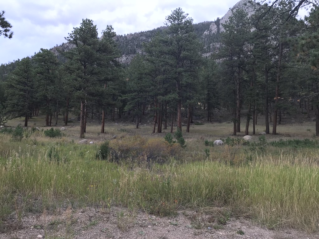 Photo: DrGBB, CC BY 2.0 (via Flickr)
Fall River Entrance
~3 min drive
Welcome to Rocky Mountain National Park! Enter Rocky Mountain National Park via the Fall River Entrance on the east side of the park.
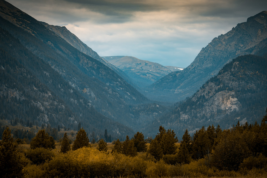 Photo: Christian Collins, CC BY-SA 2.0 (via Flickr)
Mummy Mountain
~2 min drive
Route to the summit of Mummy Mountain (13,383 ft) from Lawn Lake Trailhead.
 Photo: RuggyBearLA, CC BY-SA 2.0 (via Flickr)
North Deer Mountain Trail
~1 min drive
3.22-mile trail in Colorado with 1,400 ft elevation gain and a max elevation of 9,200 ft.
Photo: DrGBB, CC BY 2.0 (via Flickr)Aspenglen Trail
~2 min drive
0.74-mile out-and-back hike in Colorado with 209 ft elevation gain

