Luna Lake
- 15.7 mi
- round trip
- 2,162 ft
- climb
- 11,199 ft
- high point
- Out and back
- route
Is Luna Lake open right now?
Closure in the area
There's a closure order in Hahns Peak-Bears Ears Ranger District. It doesn't name Luna Lake, so check the source for the area it covers.
Area Closure for the Fishhook Fire - Routt National Forest
Agency closure covering Hahns Peak-Bears Ears Ranger District · Order 02-06-03-26-222 · USFS · Hahns Peak-Bears Ears Ranger District
Access Impact: Big Creek Lakes Dam Project
Agency alert covering Medicine Bow-Routt National Forest · USFS · Medicine Bow-Routt National Forest
Trail & Access Impact: Stillwater Reservoir Project
Agency alert covering Medicine Bow-Routt National Forest · USFS · Medicine Bow-Routt National Forest
Snowy Range - 2026 Active Vegetation Operations
Agency alert covering Medicine Bow-Routt National Forest · USFS · Medicine Bow-Routt National Forest
As of · Source: USFS · Hahns Peak-Bears Ears Ranger District. Agencies don't list every closure — check before you go.
Luna Lake is a hard hike in the Mount Zirkel Wilderness, part of the Hahns Peak-Bears Ears Ranger District of the Medicine Bow-Routt National Forest in Colorado. The Forest Service manages the land, and the route is an out-and-back of about 15.7 miles with a one-way elevation gain of 2,162 feet, from a low point of about 9,011 feet to a high of about 11,199 feet. The trail is natural-surfaced and allows horses, but not bikes. That makes it a viable option for riders on horseback, though the climb is steep and the distance is long. Several other outings sit close by. Ditch Creek is about 1.2 miles away, and Big Creek offers canoeing about 1.5 miles off. Swamp Park is about 1.9 miles away. For an overnight base, Dry Lake Campground is about 7.3 miles from the trail.
- Ditch CreekHiking1.2 mi
- Big CreekCanoeing1.5 mi
- Swamp ParkHiking1.9 mi
- South Fork Mad CreekCanoeing2.8 mi
- Dry Lake CampgroundCamping7.3 mi
- Hinman Park CampgroundCamping7.7 mi
- Lower CragRock climbing7.7 mi
- Seedhouse CragRock climbing7.7 mi
Source: Roamze catalog (indexable pages within 10 miles, PostGIS distance)
 Bear CreekHiking · ~10 min drivePhoto: daveynin, CC BY 2.0 (via Flickr)
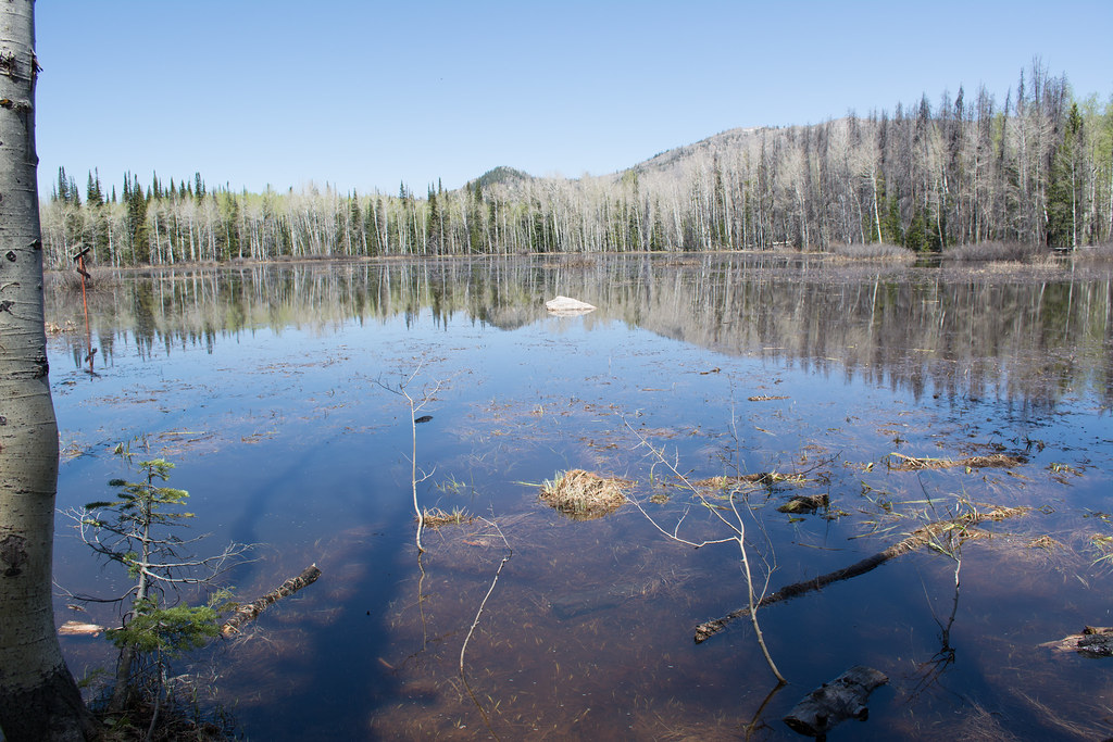 Soda Creek TrailHiking · ~12 min drivePhoto: bjwhite66212, CC BY-SA 2.0 (via Flickr)
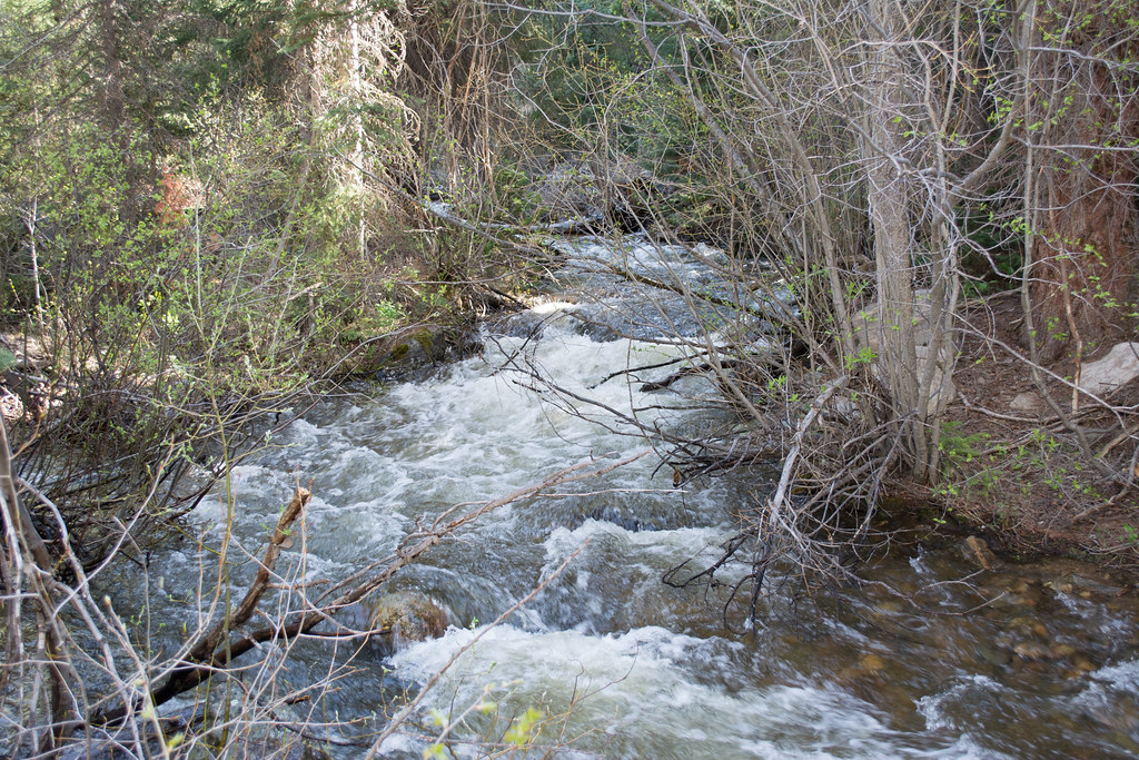 Ditch TrailHiking · ~16 min drivePhoto: bjwhite66212, CC BY-SA 2.0 (via Flickr)
- Flash of Gold TrailHiking · ~13 min drivePhoto: bjwhite66212, CC BY-SA 2.0 (via Flickr)
 Spring CreekHiking · ~13 min drivePhoto: bjwhite66212, CC BY-SA 2.0 (via Flickr)
- Roaring ForkHiking · ~6 min drive
- Ditch CreekHiking · ~2 min drive
- Panorama TrailHiking · ~13 min drivePhoto: bjwhite66212, CC BY-SA 2.0 (via Flickr)
- Elk ParkHiking · ~6 min drive
- Swamp ParkHiking · ~3 min drive

