Ditch Creek
- 3.8 mi
- round trip
- 578 ft
- climb
- 9,131 ft
- high point
- Out and back
- route
- Jun–Sep
- best months
Is Ditch Creek open right now?
Closure in the area
There's a closure order in Hahns Peak-Bears Ears Ranger District. It doesn't name Ditch Creek, so check the source for the area it covers.
Area Closure for the Fishhook Fire - Routt National Forest
Agency closure covering Hahns Peak-Bears Ears Ranger District · Order 02-06-03-26-222 · USFS · Hahns Peak-Bears Ears Ranger District
Access Impact: Big Creek Lakes Dam Project
Agency alert covering Medicine Bow-Routt National Forest · USFS · Medicine Bow-Routt National Forest
Trail & Access Impact: Stillwater Reservoir Project
Agency alert covering Medicine Bow-Routt National Forest · USFS · Medicine Bow-Routt National Forest
Snowy Range - 2026 Active Vegetation Operations
Agency alert covering Medicine Bow-Routt National Forest · USFS · Medicine Bow-Routt National Forest
As of · Source: USFS · Hahns Peak-Bears Ears Ranger District. Agencies don't list every closure — check before you go.
Ditch Creek is a 3.8-mile out-and-back hike in Colorado's Mount Zirkel Wilderness, within the Hahns Peak-Bears Ears Ranger District of the Medicine Bow-Routt National Forest. The trail climbs from a low point of 8,544 feet to a high of 9,131 feet, a gain of 578 feet, and is rated hard. The Forest Service manages the land, and the trail's natural surface and horse-friendly status make it a viable option for riders as well as hikers. Summer is the most comfortable time to go. Typical averages from a nearby weather station at Spicer, CO, show July highs around 77°F with lows near 42°F, while temperatures on the trail run cooler than that station's figures because it sits about 750 feet lower. The route is open year-round, and Luna Lake lies about a mile away. Paddlers can head to Mad Creek or Big Creek, both within about 2 miles. For an overnight base, Dry Lake Campground is roughly 7 miles off.
- Luna LakeHiking1.2 mi
- Mad CreekCanoeing2.1 mi
- Swamp ParkHiking2.1 mi
- Big CreekCanoeing2.2 mi
- Dry Lake CampgroundCamping6.9 mi
- Steamboat SpringsRock climbing7.5 mi
- Wax MuseumRock climbing7.7 mi
- Hinman Park CampgroundCamping8.2 mi
Source: Roamze catalog (indexable pages within 10 miles, PostGIS distance)
 Bear CreekHiking · ~9 min drivePhoto: daveynin, CC BY 2.0 (via Flickr)
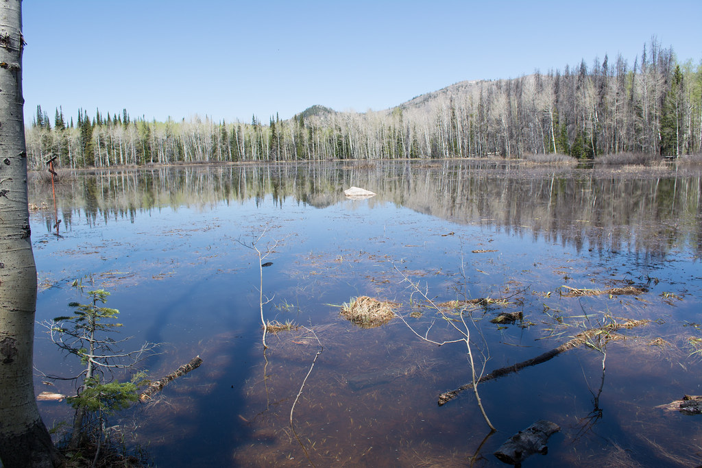 Soda Creek TrailHiking · ~12 min drivePhoto: bjwhite66212, CC BY-SA 2.0 (via Flickr)
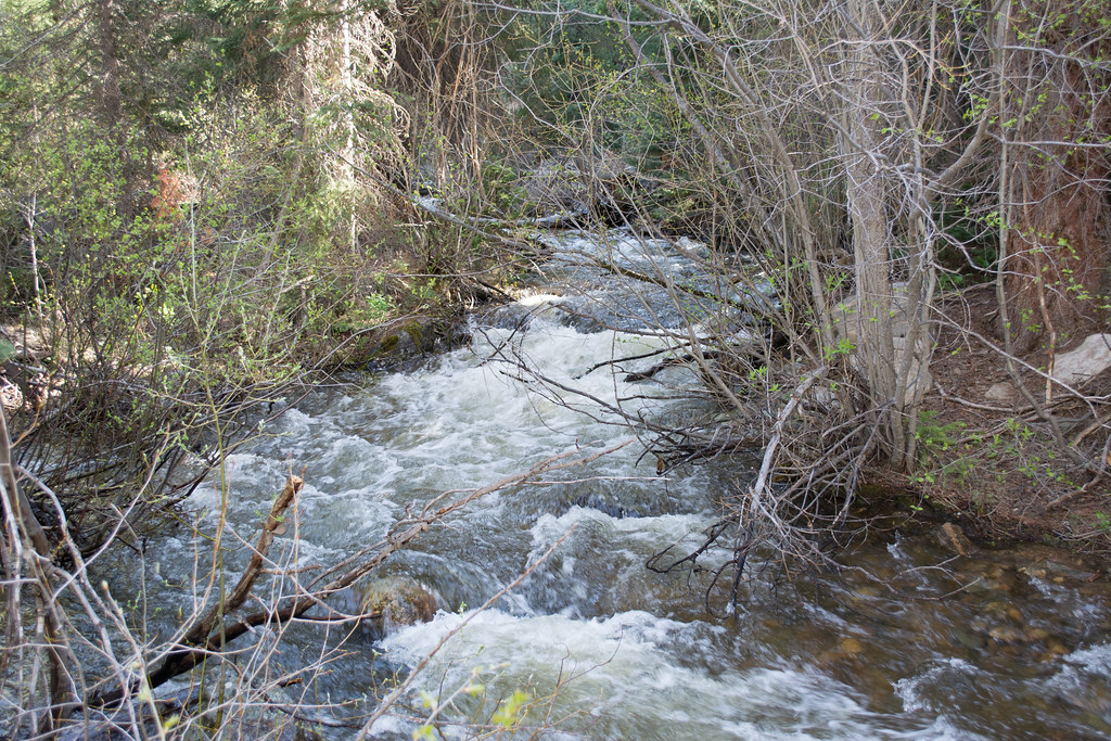 Ditch TrailHiking · ~15 min drivePhoto: bjwhite66212, CC BY-SA 2.0 (via Flickr)
- Flash of Gold TrailHiking · ~12 min drivePhoto: bjwhite66212, CC BY-SA 2.0 (via Flickr)
 Spring CreekHiking · ~12 min drivePhoto: bjwhite66212, CC BY-SA 2.0 (via Flickr)
- Elk ParkHiking · ~5 min drive
- Luna LakeHiking · ~2 min drive
- Panorama TrailHiking · ~12 min drivePhoto: bjwhite66212, CC BY-SA 2.0 (via Flickr)
- Roaring ForkHiking · ~6 min drive
- Swamp ParkHiking · ~4 min drive
Best time to visit Ditch Creek
Best months: June–September. Best months have typical highs of 55–85 °F, lows of 30 °F or warmer (32 °F where the station doesn't record snow), at most one snowy day and no more than 12 wet days.
Jan
28° / 7°
8 wet
Feb
31° / 9°
8 wet
Mar
40° / 15°
8 wet
Apr
49° / 23°
9 wet
May
59° / 30°
10 wet
Jun
71° / 36°
8 wet
Jul
77° / 42°
9 wet
Aug
76° / 40°
11 wet
Sep
68° / 34°
8 wet
Oct
55° / 25°
7 wet
Nov
39° / 16°
8 wet
Dec
29° / 9°
8 wet
Typical high / low (°F) and days with rain or snow, 1991–2020. Measured at Spicer, CO, 22.8 mi away at 8,385 ft. The station sits about 700 ft lower than this place, so expect it a little cooler here. This station doesn't record snowfall. Source: NOAA NCEI U.S. Climate Normals 1991–2020.
