Timber Creek
Campground
Campground · 0.2 mi from the trail
Closure in the area
There's a closure order in Rocky Mountain National Park. It doesn't name Long Meadows Trail, so check the source for the area it covers.
Trail Ridge Road is Closed to Through Travel for the Season
Park closure covering Rocky Mountain National Park · NPS · Rocky Mountain National Park
As of · Source: NPS · Rocky Mountain National Park. Agencies don't list every closure — check before you go.
Long Meadows Trail is a short, easy hike in Rocky Mountain National Park, part of the Rocky Mountain National Park Wilderness and managed by the National Park Service. The trail is 1.2 miles long, and the total round-trip elevation gain is 644 feet, which makes it a quick outing in a remote stretch of the park's backcountry. The route is an out-and-back that starts and ends at about 10,229 feet. The climb is front-loaded, with the steepest section of 19% grade coming within the first 0.15 miles, and the high point of the trail reaches 10,475 feet. The trip takes about half an hour, so it works well as a short addition to a day spent exploring the park. Summer is the most comfortable time to go. Typical July averages from a nearby weather station run to a high of 74°F and a low of 43°F, while winter highs stay around 31°F. That station sits about 950 feet lower than the trail, so temperatures on the trail run cooler. The closest neighbor is Timber Lake Trail, about 0.8 miles away. Within about 2 miles you'll also find the View Fall Colors on the West Side of Rocky Mountain National Park route and the Holzwarth Historic Site bridge over the Colorado River. Grandview Campground, about 8.5 miles away, is the closest place to camp.
Timber Creek
Campground
Trail Ridge Cafe
Restaurant
Images of Rocky Mountain National Park
Gallery
Places © OpenStreetMap contributors
More in Estes ParkNot on Roamze yet. Their page has how to reach them.
 Timber Lake TrailHikingPhoto: Thomas — CC BY-SA 2.0 (via Flickr)0.8 mi
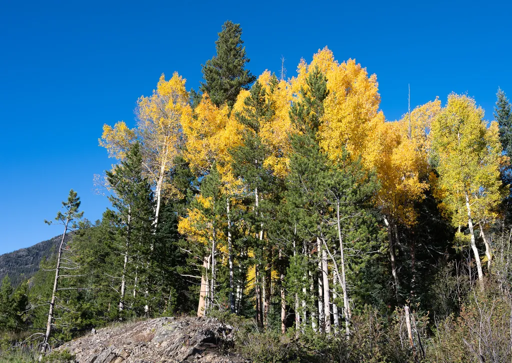 View Fall Colors on the West Side of Rocky Mountain National ParkHikingPhoto: NPS / public domain1.9 mi
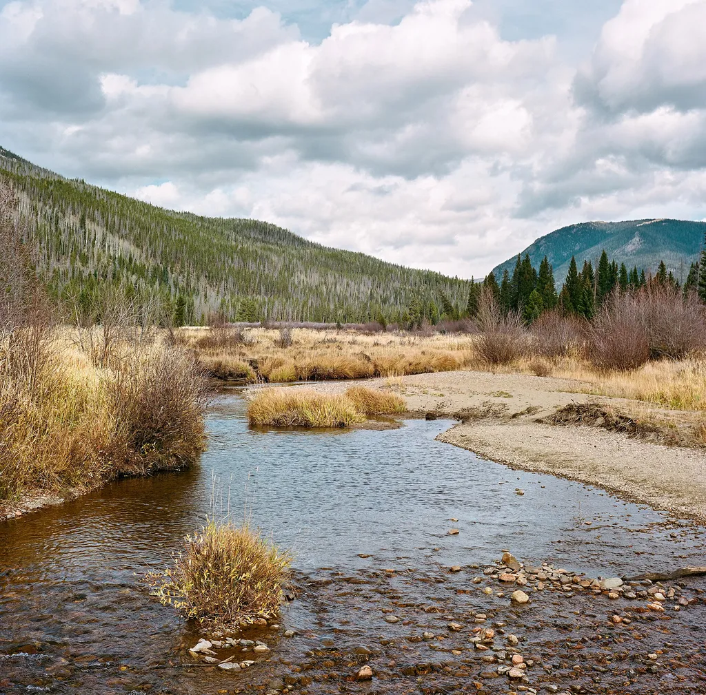 Holzwarth Historic Site - Bridge Over the Colorado RiverHikingPhoto: Frank Schulenburg — Wikimedia Commons (CC BY-SA 4.0)1.9 mi
 NotchtopRock climbingPhoto: AER Wilmington DE, CC BY 2.0 (via Flickr)7.5 mi
Source: Roamze catalog (indexable pages within 10 miles, PostGIS distance)
Timber Lake TrailHiking · ~1 min drivePhoto: Thomas — CC BY-SA 2.0 (via Flickr) Ditch RoadHiking · ~4 min drivePhoto: inkknife_2000 (7.5 million views +), CC BY-SA 2.0 (via Wikimedia Commons)
 Long Meadows TrailHiking · ~4 min drivePhoto: inkknife_2000 (7.5 million views +), CC BY-SA 2.0 (via Wikimedia Commons)
 Timber Creek Cmpgnd-Beaver Ponds Picnic Area TrailHiking · ~3 min drivePhoto: markbyzewski, CC BY 2.0 (via Flickr)
 Timber Lake TrailHiking · ~4 min drivePhoto: Dariusz Kowalczyk, CC BY-SA 3.0 (via Wikimedia Commons)
 Red Mountain TrailHiking · ~5 min drivePhoto: inkknife_2000 (7.5 million views +), CC BY-SA 2.0 (via Wikimedia Commons)Onahu to Tonahuto TrailHiking · ~4 min drivePhoto: inkknife_2000 (7.5 million views +), CC BY-SA 2.0 (via Wikimedia Commons)
Best months: June and September. Best months have typical highs of 55–85 °F, lows of 30 °F or warmer (32 °F where the station doesn't record snow), at most one snowy day and no more than 12 wet days.
Jan
31° / 11°
9 wet
Feb
33° / 10°
9 wet
Mar
40° / 15°
10 wet
Apr
45° / 20°
10 wet
May
55° / 28°
10 wet
Jun
68° / 36°
10 wet
Jul
74° / 43°
13 wet
Aug
72° / 41°
14 wet
Sep
65° / 34°
10 wet
Oct
51° / 25°
8 wet
Nov
39° / 18°
9 wet
Dec
31° / 11°
9 wet
Typical high / low (°F) and days with rain or snow, 1991–2020. Measured at Hourglass Rsvr, CO, 17.7 mi away at 9,520 ft. The station sits about 1,000 ft lower than this place, so expect it a little cooler here. This station doesn't record snowfall. Source: NOAA NCEI U.S. Climate Normals 1991–2020.
Map and trail data © OpenStreetMap contributors

