Silver Pick Camping Area
Campground
Campground · 3.3 mi from the trail
Closure in the area
There's a closure order in Grand Mesa, Uncompahgre and Gunnison National Forests. It doesn't name Lizard Head, so check the source for the area it covers (2 listed).
Gold Mountain Wildfire Roads and Trails Closure Order v 4.0
Agency closure covering Grand Mesa, Uncompahgre and Gunnison National Forests · USFS · Grand Mesa, Uncompahgre and Gunnison National Forests
Ophir Pass Road Closure
Agency closure covering Grand Mesa, Uncompahgre and Gunnison National Forests · USFS · Grand Mesa, Uncompahgre and Gunnison National Forests
Potter Basin Road Closure Order
Agency alert covering Grand Mesa, Uncompahgre and Gunnison National Forests · USFS · Grand Mesa, Uncompahgre and Gunnison National Forests
Beaver Park Road Closure Order
Agency alert covering Grand Mesa, Uncompahgre and Gunnison National Forests · USFS · Grand Mesa, Uncompahgre and Gunnison National Forests
TERMINATION OF ORDER - FIRE RESTRICTIONS
Agency alert covering Grand Mesa, Uncompahgre and Gunnison National Forests · USFS · Grand Mesa, Uncompahgre and Gunnison National Forests
As of · Source: USFS · Grand Mesa, Uncompahgre and Gunnison National Forests. Agencies don't list every closure — check before you go.
Lizard Head is a hard hike in the Norwood Ranger District of the Grand Mesa, Uncompahgre and Gunnison National Forests in Colorado, managed by the Forest Service. The route is an out-and-back of about 27 miles, with a one-way elevation gain of 2,830 feet, starting at roughly 9,250 feet and reaching about 12,130 feet at the high point. The trail is on natural surface, and horses are allowed. That makes it a viable option for riders as well as hikers. For planning, the closest neighbors are the Morning Star hike, about a mile away, and Cross Mountain, about 2 miles off. The South Fork San Miguel River offers canoeing, and Silver Pick Camping Area is about 3.3 miles away for an overnight base.
Silver Pick Camping Area
Campground
Little Hawaii Grotto
Attraction
Places © OpenStreetMap contributors, Places © Overture Maps Foundation
More in TellurideNot on Roamze yet. Their page has how to reach them.
Daily highs and lows, wind and the chance of precipitation at the summit and route start for the next 7 days, from the Open-Meteo model.
 The SlabsRock climbingPhoto: Ken Lund, CC BY-SA 2.0 (via Flickr)4.4 mi
 Mirror WallRock climbingPhoto: Ken Lund, CC BY-SA 2.0 (via Flickr)4.4 mi
Source: Roamze catalog (indexable pages within 10 miles, PostGIS distance)
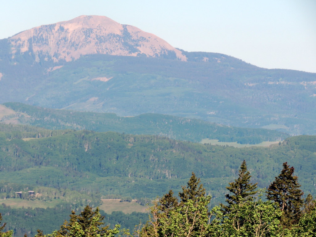 SunshineHiking · ~6 min drivePhoto: dougandme, CC BY 2.0 (via Flickr)
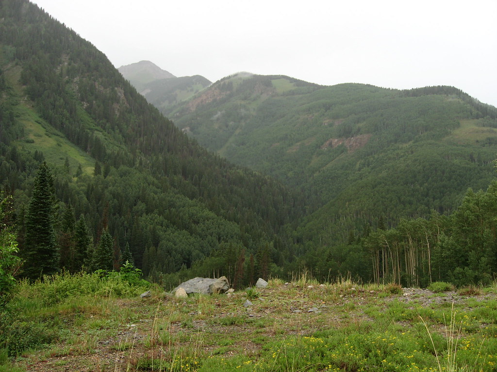 P LAKE SKI MID MEADOW LOOP 2Hiking · ~7 min drivePhoto: Ken Lund, CC BY-SA 2.0 (via Flickr)
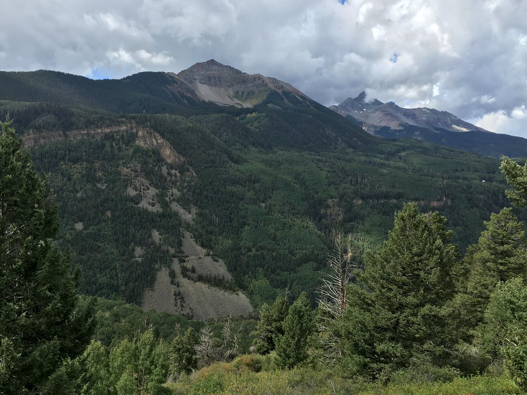 Magic MeadowsHiking · ~6 min drivePhoto: cogdogblog, CC BY 2.0 (via Flickr)
 Sheep MountainHiking · ~8 min drivePhoto: sf-dvs, CC BY 2.0 (via Wikimedia Commons)
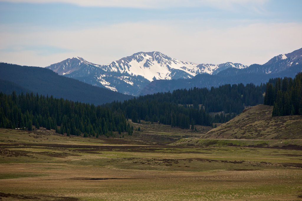 East Fork TrailHiking · ~9 min drivePhoto: cmirkin, CC BY-SA 2.0 (via Flickr)Magic Meadows LoopHiking · ~8 min drivePhoto: dougandme, CC BY 2.0 (via Flickr)
Also worth it near here
 Sunshine MountainSummit · ~1 min drivePhoto: sf-dvs, CC BY 2.0 (via Wikimedia Commons)
 Silver Pick RoadSki touring · ~5 min drivePhoto: Ken Lund from Reno, Nevada, USA, CC BY-SA 2.0 (via Wikimedia Commons)
 Priest Lake RoadCross-country skiing · ~7 min drivePhoto: Doncram, CC BY-SA 4.0 (via Wikimedia Commons)
Park at LIZARD HEAD.
About 27.3 mi round trip from LIZARD HEAD (about 10,114 ft).
About 2,830 ft of climbing round trip.
It is rated hard.
LIZARD HEAD (about 10,114 ft).
