Hansen Mill Campground
Campground
Campground · 1.1 mi from the trail
Closure in the area
There's a closure order in Rio Grande National Forest. It doesn't name West Alder Creek Trail, so check the source for the area it covers.
Closures and dangerous conditions on roads, bridges, and trails from flooding
Agency closure covering Rio Grande National Forest · USFS · Rio Grande National Forest
As of · Source: USFS · Rio Grande National Forest. Agencies don't list every closure — check before you go.
West Alder Creek Trail is a short, easy hike of about 1.46 miles in the Divide Ranger District of Colorado's Rio Grande National Forest, managed by the Forest Service. The trail is out and back, with a total round-trip distance of about 2.9 miles, and it gains about 965 feet from start to finish. The high point of the route sits at about 11,356 feet, and the low at about 10,863 feet. The climb is steady, and the steepest stretch comes at about 0.83 miles into the trail, where the grade reaches about 22%. The trip takes about 1.5 hours to complete. Several places lie close by. Hansen Mill Campground and Hansons Mill Dispersed Campsite are both about 1.1 miles away. The La Garita Sd. Trail is about 3.8 miles off, and Palisade Campground is about 4.8 miles away.
Hansen Mill Campground
Campground
Quiller Gallery
Gallery
Places © OpenStreetMap contributors, Places © Overture Maps Foundation
More in South ForkNot on Roamze yet. Their page has how to reach them.
Source: Roamze catalog (indexable pages within 10 miles, PostGIS distance)
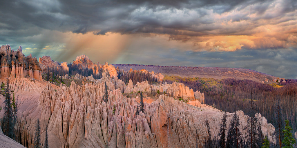 Wason Park Cut-OffHiking · ~10 min drivePhoto: snowpeak, CC BY 2.0 (via Flickr)
 Farmers CreekHiking · ~15 min drivePhoto: aspidoscelis, Public Domain Dedication (CC0) (via Flickr)
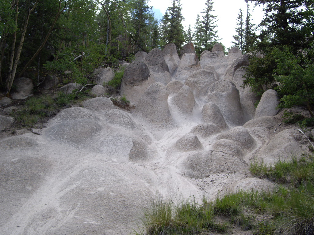 Wheeler LoopHiking · ~11 min drivePhoto: C. K. Hartman, CC BY 2.0 (via Flickr)Dry Gulch TrailHiking · ~17 min drivePhoto: aspidoscelis, Public Domain Dedication (CC0) (via Flickr)
 RaspberryHiking · ~17 min drivePhoto: dsearls, CC BY 2.0 (via Flickr)
Map and trail data © OpenStreetMap contributors

