East Portal Distributed Camping Area
Campground
Campground · 4.3 mi from the trail
 Photo: matt.a, CC BY 3.0 (via Wikimedia Commons)
Alert in the area
The Forest Service lists 3 alerts for Arapaho and Roosevelt National Forests.
Fire Restrictions
Agency alert covering Arapaho and Roosevelt National Forests · USFS · Arapaho and Roosevelt National Forests
Slater Lake Area Closure
Agency alert covering Clear Creek Ranger District · Order 02-10-07-26-03 · USFS · Clear Creek Ranger District
Area Closure Surrounding the Devils Nose Target Range
Agency alert covering Clear Creek Ranger District · Order 02-10-07-26-01 · USFS · Clear Creek Ranger District
As of · Source: USFS · Arapaho and Roosevelt National Forests. Agencies don't list every closure — check before you go.
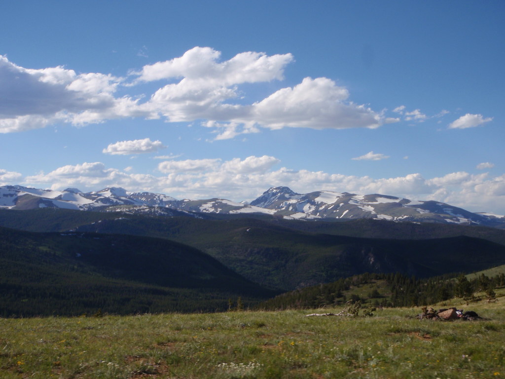
Kingston Peak Spur is a short, easy out-and-back hike of about 1.4 miles in Colorado's Clear Creek Ranger District, part of the Arapaho and Roosevelt National Forests. The trail starts at roughly 11,759 feet and reaches a high point of about 11,787 feet, with a total elevation gain of about 246 feet on the way up and the same on the way back. The climb is steady, and the steepest stretch comes early, around 10% grade, before leveling out. The hike makes a quick addition to time spent exploring the surrounding area. It pairs easily with longer routes like the James Peak Trail, about 1.2 miles away, and James Peak Lake, about a mile off. Climbers can head to the Hump Area, roughly 1.6 miles away, and Midland Group Campground sits about 5.5 miles out for an overnight stay.
East Portal Distributed Camping Area
Campground
 If it rainsUser:Magicpiano, CC BY-SA 4.0 · Wikimedia Commons
Historic house-museum in Georgetown, Colorado, United States
Places © OpenStreetMap contributors, Places © Overture Maps Foundation · Photos: User:Magicpiano, CC BY-SA 4.0 (commons)
More in Idaho SpringsNot on Roamze yet. Their page has how to reach them.
 James Peak LakeHikingPhoto: glennharper, CC BY-SA 2.0 (via Flickr)1 miJames Peak TrailHikingPhoto: matt.a, CC BY 3.0 (via Wikimedia Commons)1.2 mi
 Loch LomondRock climbingPhoto: glennharper, CC BY-SA 2.0 (via Flickr)1.8 mi
 Clear CreekCanoeingPhoto: Ken Gallager at en.wikipedia, Public domain (via Wikimedia Commons)9.1 mi
Source: Roamze catalog (indexable pages within 10 miles, PostGIS distance)
James Peak LakeHiking · ~2 min drivePhoto: glennharper, CC BY-SA 2.0 (via Flickr)James Peak TrailHiking · ~2 min drivePhoto: matt.a, CC BY 3.0 (via Wikimedia Commons) South Boulder CreekHiking · ~7 min drivePhoto: jefbrr, CC BY 2.0 (via Flickr)
 Bard PeakHiking · ~12 min drivePhoto: dirkdavidson1, Public Domain Dedication (CC0) (via Flickr)
 Yankee Hill TrailHiking · ~4 min drivePhoto: glennharper, CC BY-SA 2.0 (via Flickr)
 Second CreekHiking · ~11 min drivePhoto: Apollo⠀, CC BY 2.0 (via Flickr)
 Jim CreekHiking · ~9 min drivePhoto: halseike, CC BY 2.0 (via Flickr)
 Mount BancroftHiking · ~2 min drivePhoto: Greg Younger from Parker, Colorado, USA, USA, CC BY-SA 2.0 (via Wikimedia Commons)
 Montana Mountain EastHiking · ~6 min drivePhoto: halseike, CC BY 2.0 (via Flickr)
 Pipeline TrailHiking · ~12 min drivePhoto: Tydence, CC BY 2.0 (via Flickr)
Map and trail data © OpenStreetMap contributors

