Chief Hosa Campground
Campground
Campground · 5.5 mi from the trail
Clear today
Weather is good · OpenWeather · checked just now
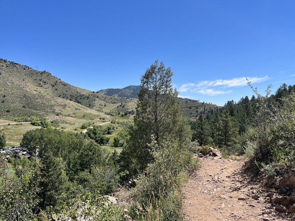
Independence Mountain Trail is a short, looped hike of about 0.8 miles in Pence Park, Colorado, a joint-managed park unit. The trail rises from a low point of 7,451 feet to a high of 7,756 feet, with a total gain and loss of about 430 feet. The climb is front-loaded, and the steepest stretch comes at about 0.6 miles, where the grade reaches 25%. The most comfortable months for a visit are typically June through September. Typical averages from a nearby weather station in Evergreen show highs in the mid-70s to around 81°F in July, with September cooling to about 73°F. That station sits roughly 770 feet lower than the trail's high point, so temperatures on the summit run cooler. The hike takes about half an hour. Independence Peak Trail starts just 0.2 miles away, and West Ridge Trail and Meadow View Trail are within a mile. For an overnight stay, Dakota Ridge RV Park is about 7 miles off.
Chief Hosa Campground
Campground
San isabel Road
Restaurant
 If it rains25or6to4, CC BY-SA 3.0 · Wikimedia Commons
Places © OpenStreetMap contributors, Places © Overture Maps Foundation · Photos: 25or6to4, CC BY-SA 3.0 (commons)
More in Idaho SpringsNot on Roamze yet. Their page has how to reach them.
 West Ridge TrailHikingPhoto: Bryan Pocius, CC BY 2.0 (via Flickr)0.5 miMeadow View TrailHikingPhoto: Bryan Pocius, CC BY 2.0 (via Flickr)0.9 mi
 Bear CreekCanoeingPhoto: Footwarrior, CC BY-SA 3.0 (via Wikimedia Commons)2.8 mi
 Clear Creek RV ParkCampingPhoto: cogdogblog, CC BY 2.0 (via Wikimedia Commons)8.5 mi
Source: Roamze catalog (indexable pages within 10 miles, PostGIS distance)
West Ridge TrailHiking · Next doorPhoto: Bryan Pocius, CC BY 2.0 (via Flickr) Parmalee TrailHiking · ~4 min drivePhoto: Jesse James — CC BY 2.0 (via Flickr)Mount Morrison TrailHiking · ~7 min drivePhoto: Jesse James — CC BY 2.0 (via Flickr)Meadow View TrailHiking · ~2 min drivePhoto: Bryan Pocius, CC BY 2.0 (via Flickr)
 Bruin Bluff TrailHiking · ~4 min drivePhoto: ChrisYunker, CC BY 2.0 (via Flickr)Bear Creek TrailHiking · ~3 min drivePhoto: Bryan Pocius, CC BY 2.0 (via Flickr)
 Tower TrailHiking · ~4 min drivePhoto: Jacob Montgomery, CC BY-SA 3.0 (via Wikimedia Commons)Creekside TrailHiking · ~4 min drivePhoto: ChrisYunker, CC BY 2.0 (via Flickr)Olde Ute TrailHiking · ~5 min drivePhoto: Jacob Montgomery, CC BY-SA 3.0 (via Wikimedia Commons)
 Meadow TrailHiking · ~5 min drivePhoto: normalityrelief, CC BY-SA 2.0 (via Flickr)
Best months: May–September. Best months have typical highs of 55–85 °F, lows of 30 °F or warmer (32 °F where the station doesn't record snow), at most one snowy day and no more than 12 wet days.
Jan
44° / 12°
5 wet
Feb
44° / 13°
6 wet
Mar
51° / 21°
7 wet
Apr
56° / 27°
8 wet
May
64° / 36°
10 wet
Jun
76° / 43°
10 wet
Jul
81° / 49°
12 wet
Aug
79° / 47°
12 wet
Sep
73° / 40°
8 wet
Oct
61° / 29°
6 wet
Nov
51° / 20°
5 wet
Dec
44° / 13°
5 wet
Typical high / low (°F) and days with rain or snow, 1991–2020. Measured at Evergreen, CO, 1.9 mi away at 6,985 ft. The station sits about 800 ft lower than this place, so expect it a little cooler here. This station doesn't record snowfall. Source: NOAA NCEI U.S. Climate Normals 1991–2020.
Map and trail data © OpenStreetMap contributors

