Dakota Ridge RV Park
Campground
Campground · 3.6 mi from the trail
 Photo: Jesse James — CC BY 2.0 (via Flickr)
Mount Morrison Trail is a hard hike in Red Rocks Park in Colorado, about 1.65 miles long with a total elevation gain of 2,800 feet. The trail reaches a high point of 14,156 feet, and the land is managed by a joint agency. The route is short but steep, and the climb is one way. The high point makes this a mountain-top objective rather than a casual outing. Will Call Trail lies about a mile away, and Red Rocks Trail is about 1.2 miles off. Climbers can find Hill Side Boulders and Matthews-Winters Park within about a mile and a third. For an overnight stay, Dakota Ridge RV Park is about 3.6 miles away.
Dakota Ridge RV Park
Campground
Ship Rock Grille
Restaurant
 If it rains25or6to4, CC BY-SA 3.0 · Wikimedia Commons
Places © OpenStreetMap contributors · Photos: 25or6to4, CC BY-SA 3.0 (commons)
More in Idaho SpringsNot on Roamze yet. Their page has how to reach them.
Daily highs and lows, wind and the chance of precipitation at the summit and route start for the next 7 days, from the Open-Meteo model.
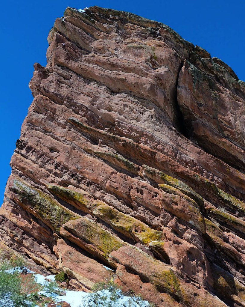 Will Call TrailHikingPhoto: Scott McLeod, CC BY 2.0 (via Flickr)1 miRed Rocks TrailHikingPhoto: Jesse James — CC BY 2.0 (via Flickr)1.2 mi
 Matthews-Winters ParkRock climbingPhoto: gregor_y, CC BY-SA 2.0 (via Flickr)1.3 mi
 Clear Creek RV ParkCampingPhoto: cogdogblog, CC BY 2.0 (via Wikimedia Commons)5.9 mi
 Bear CreekCanoeingPhoto: Footwarrior, CC BY-SA 3.0 (via Wikimedia Commons)6.4 mi
Source: Roamze catalog (indexable pages within 10 miles, PostGIS distance)
Will Call TrailHiking · ~2 min drivePhoto: Scott McLeod, CC BY 2.0 (via Flickr)Zorro TrailHiking · ~3 min drivePhoto: gregor_y, CC BY-SA 2.0 (via Flickr)Red Rocks TrailHiking · ~2 min drivePhoto: Jesse James — CC BY 2.0 (via Flickr)Turkey Trot TrailHiking · ~3 min drivePhoto: Jesse James — CC BY 2.0 (via Flickr) Mount Vernon Creek TrailHiking · ~2 min drivePhoto: kjardin@pacbell.net, CC BY-SA 2.0 (via Flickr)
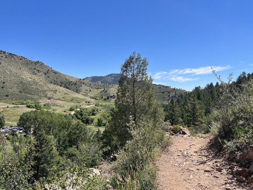 Bruin Bluff TrailHiking · ~4 min drivePhoto: ChrisYunker, CC BY 2.0 (via Flickr)Red Rocks TrailHiking · ~2 min drivePhoto: kjardin@pacbell.net, CC BY-SA 2.0 (via Flickr)Parmalee TrailHiking · ~4 min drivePhoto: Jesse James — CC BY 2.0 (via Flickr)
 Dakota Ridge TrailHiking · ~2 min drivePhoto: TexasExplorer98, CC BY 2.0 (via Flickr)
Season: Summer, fall.
Snow possible year-round above treeline; afternoon thunderstorms common in summer; best conditions typically July through September
About 1.7 mi.
About 2,800 ft of climbing round trip.
It is rated hard.
About 3 hours round trip.
Summer, fall.
Map and trail data © OpenStreetMap contributors
