Corkscrew Camping Area
Campground
Campground · 0.6 mi from the trail
 Photo: alerque, CC BY-SA 2.0 (via Flickr)
Closure in the area
There's a closure order in Grand Mesa, Uncompahgre and Gunnison National Forests. It doesn't name Full Moon, so check the source for the area it covers (2 listed).
Gold Mountain Wildfire Roads and Trails Closure Order v 4.0
Agency closure covering Grand Mesa, Uncompahgre and Gunnison National Forests · USFS · Grand Mesa, Uncompahgre and Gunnison National Forests
Ophir Pass Road Closure
Agency closure covering Grand Mesa, Uncompahgre and Gunnison National Forests · USFS · Grand Mesa, Uncompahgre and Gunnison National Forests
TERMINATION OF ORDER - FIRE RESTRICTIONS
Agency alert covering Grand Mesa, Uncompahgre and Gunnison National Forests · USFS · Grand Mesa, Uncompahgre and Gunnison National Forests
Dallas Area Closure order
Agency alert covering Grand Mesa, Uncompahgre and Gunnison National Forests · USFS · Grand Mesa, Uncompahgre and Gunnison National Forests
Island Lake Road Closure
Agency alert covering Grand Mesa, Uncompahgre and Gunnison National Forests · USFS · Grand Mesa, Uncompahgre and Gunnison National Forests
As of · Source: USFS · Grand Mesa, Uncompahgre and Gunnison National Forests. Agencies don't list every closure — check before you go.
Full Moon is a 5.4-mile out-and-back hike in the Ouray Ranger District of the Grand Mesa, Uncompahgre and Gunnison National Forests in Colorado, managed by the Forest Service. The trail climbs from about 9,688 feet to 11,851 feet, a total gain of 2,126 feet, and is rated moderate. The surface is natural, and bikes and horses are not allowed. The route starts and ends close to a cluster of winter and camping spots. Iron Fen and Brooklyn, two cross-country ski areas, are each under a mile away. Corkscrew Camping Area and the Million Dollar Highway Free Campsite are also within a mile.
Corkscrew Camping Area
Campground
Colorado Boy Southwest Pub
Restaurant
Smuggler Union Tramhouse
Attraction
Places © OpenStreetMap contributors
More in TellurideNot on Roamze yet. Their page has how to reach them.
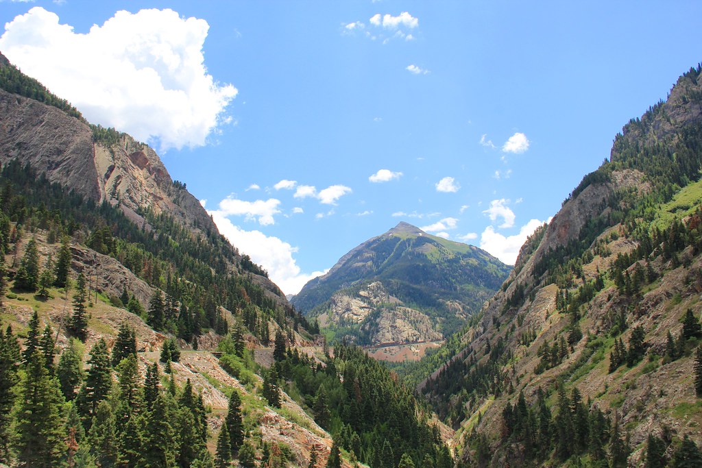 Photo: daveynin, CC BY 2.0 (via Flickr)
Beaver/Belfast Mine Trail
~1 min drive
0.96-mile out-and-back hike in Colorado with 765 ft gain and 10,005 ft max elevation
 Photo: Sandy Horvath-Dori from Grand Junction, CO, USA, CC BY 2.0 (via Wikimedia Commons)
Albany Loop Trail
~2 min drive
3.34-mile loop in Colorado with 2,057 ft gain and max elevation 10,759 ft.
Photo: Sandy Horvath-Dori from Grand Junction, CO, USA, CC BY 2.0 (via Wikimedia Commons)Hayden
~2 min drive
10.33-mile out-and-back trail in Colorado with 2,381 ft gain and 11,995 ft max elevation.
Photo: daveynin, CC BY 2.0 (via Flickr)Hayden Mountain
~2 min drive
Route to the summit of Hayden Mountain (13,215 ft) from the trailhead.
 Photo: lamblukas, CC BY 2.0 (via Flickr)
Lower Cascade Falls Trail
~9 min drive
A moderate 1.66-mile out-and-back trail in Colorado for hikers of intermediate ability.
Photo: Sandy Horvath-Dori from Grand Junction, CO, USA, CC BY 2.0 (via Wikimedia Commons)Mears
~2 min drive
3.47-mile out-and-back trail in Colorado with 108 ft gain and 9,725 ft max elevation.
 Photo: Greg Willis from Denver, CO, usa, CC BY-SA 2.0 (via Wikimedia Commons)
Richmond
~4 min drive
7.20-mile out-and-back trail in Colorado with 1,160 ft elevation gain.
 Photo: QKC, CC BY-SA 3.0 (via Wikimedia Commons)
Mount Emma
~9 min drive
Route to the summit of Mount Emma (13,576 ft) from the trailhead.
HIKE
Ice Park Shortcut
~8 min drive
0.8 mi · Easy
 Photo: Tobias from Germany, CC BY 2.0 (via Wikimedia Commons)
Corkscrew Gulch Turntable Trail
~4 min drive
1.62-mile out-and-back trail in Colorado with 1,148 ft elevation gain
Also worth it near here


