Fraser River
 Photo: gregor_y, CC BY-SA 2.0 (via Flickr)
- 1.7 mi
- round trip
- 334 ft
- climb
- 8,936 ft
- high point
- Out and back
- route
Is Fraser River open right now?
Alert in the area
The Forest Service lists 3 alerts for Arapaho and Roosevelt National Forests.
Fire Restrictions
Agency alert covering Arapaho and Roosevelt National Forests · USFS · Arapaho and Roosevelt National Forests
Fire Restrictions
Agency alert covering Sulphur Ranger District · USFS · Sulphur Ranger District
Permanent Recreational Shooting Order
Agency alert covering Sulphur Ranger District · Order 02-10-00-25-02 · USFS · Sulphur Ranger District
As of · Source: USFS · Arapaho and Roosevelt National Forests. Agencies don't list every closure — check before you go.
The Fraser River hike is an easy out-and-back trail of about 1.7 miles on a paved surface in the Sulphur Ranger District of the Arapaho and Roosevelt National Forests in Colorado. The route starts and ends near the Winter Park Public Works Trailhead, which is open from June 1 to November 15. The trail climbs about 74 feet from a low point of 8,859 feet to a high of 8,936 feet, with the steepest section at about 0.4 miles, where the grade reaches 6 percent. The trail is open to both bikes and horses, and it makes an easy add-on to a day spent exploring the surrounding area. Summer is the most comfortable time to go. Typical averages from the nearby Fraser, CO weather station put July highs around 77°F with lows near 38°F, while June and September run slightly cooler. Serenity, a mountain biking trail, is just 0.1 mile away, and Cross Country Revival is about 0.4 mile off. Idlewild Campground is 0.6 mile away for overnight stays, and B-Lot Boulder, a climbing area, is about 1.3 miles from the trail.
Local outfitters
- Camp Always Choose Adventures13 mi away
- Lostfork Basecamp31 mi away
Not on Roamze yet. Their page has how to reach them.
- SerenityMountain biking0.1 mi
- Cross Country RevivalMountain biking0.4 mi
- Idlewild CampgroundCamping0.6 mi
- B-Lot BoulderRock climbing1.3 mi
- Vasquez RoadRock climbing1.8 mi
- Midland Group CampgroundCamping2.7 mi
- Vasquez CreekCanoeing4 mi
- Ranch CreekCanoeing5.1 mi
Source: Roamze catalog (indexable pages within 10 miles, PostGIS distance)
- Lower CherokeeHiking · Next doorPhoto: gregor_y, CC BY-SA 2.0 (via Flickr)
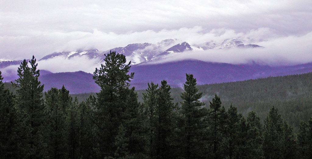 Blue SkyHiking · ~2 min drivePhoto: edcrowle, CC BY 2.0 (via Flickr)
 Jim CreekHiking · ~4 min drivePhoto: halseike, CC BY 2.0 (via Flickr)
- Upper CherokeeHiking · ~1 min drivePhoto: gregor_y, CC BY-SA 2.0 (via Flickr)
- Eye to EyeHiking · ~2 min drive
 Lower Long TrailHiking · ~1 min drivePhoto: aperturismo, CC BY-SA 2.0 (via Flickr)
- Pinball RidgeHiking · ~4 min drive
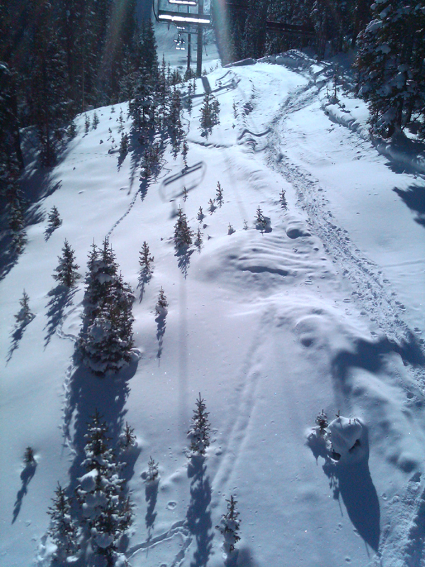 Chickadee TrailHiking · ~2 min drivePhoto: gregor_y, CC BY-SA 2.0 (via Flickr)
- South Fork LoopHiking · ~4 min drive
- Twin BridgesHiking · ~3 min drivePhoto: edcrowle, CC BY 2.0 (via Flickr)


