Glenwood Canyon Resort
Campground
Campground · 2.6 mi from the trail
Alert in the area
The Forest Service lists 6 alerts for White River National Forest.
FSR 286, Radical Hill, is closed due to washouts and unsafe conditions
Agency alert covering White River National Forest · USFS · White River National Forest
Limited parking at Snowmass Creek Trailhead
Agency alert covering White River National Forest · USFS · White River National Forest
Grizzly Creek Trail Closure
Agency alert covering White River National Forest · Order 2026-02 · USFS · White River National Forest
Ruedi Marina Day Use area Dump Station is CLOSED
Agency alert covering White River National Forest · USFS · White River National Forest
Asbestos safety closure - Camp Hale
Agency alert covering White River National Forest · USFS · White River National Forest
As of · Source: USFS · White River National Forest. Agencies don't list every closure — check before you go.
Forest Hollow is a 4.8-mile moderate hike on natural-surface trail in the Sopris Ranger District of White River National Forest in Colorado, managed by the Forest Service. The trail is an out-and-back, with a low point of 7,404 feet and a high of 7,531 feet. The climb is short, with a total gain of 27 feet one way. The most comfortable months are typically late spring and early fall. At a nearby weather station in Shoshone, typical averages run to highs around 71°F in May and 79°F in September, while July peaks near 89°F and winter highs sit around 36°F. The route allows both horses and bikes. Grizzly Creek mountain biking lies about 1.6 miles away, and the Grizzly Creek Wall (aka Mudwall) climbing area is about 1.8 miles off. Glenwood Canyon Resort, a campground, is about 2.6 miles away, and the Glenwood Springs Area fishing is about 4.3 miles away.
Glenwood Canyon Resort
Campground
Smokehouse
Restaurant
Thermal springs in Colorado
Places © OpenStreetMap contributors
More in Glenwood SpringsNot on Roamze yet. Their page has how to reach them.
 Grizzly CreekMountain bikingPhoto: Don Graham from Redlands, CA, USA - God bless it!, CC BY-SA 2.0 (via Wikimedia Commons)1.6 mi
 Glenwood CanyonRock climbingPhoto: Don Graham from Redlands, CA, USA - God bless it!, CC BY-SA 2.0 (via Wikimedia Commons)2.1 mi
 Glenwood Canyon ResortCampingPhoto: DimiTalen, CC BY-SA 3.0 (via Wikimedia Commons)2.6 mi
 Coffee pot springs campgroundCampingPhoto: KimonBerlin, CC BY-SA 2.0 (via Wikimedia Commons)9.1 mi
Source: Roamze catalog (indexable pages within 10 miles, PostGIS distance)
 Grizzly CreekHiking · ~4 min drivePhoto: Loco Steve, CC BY 3.0 (via Wikimedia Commons)
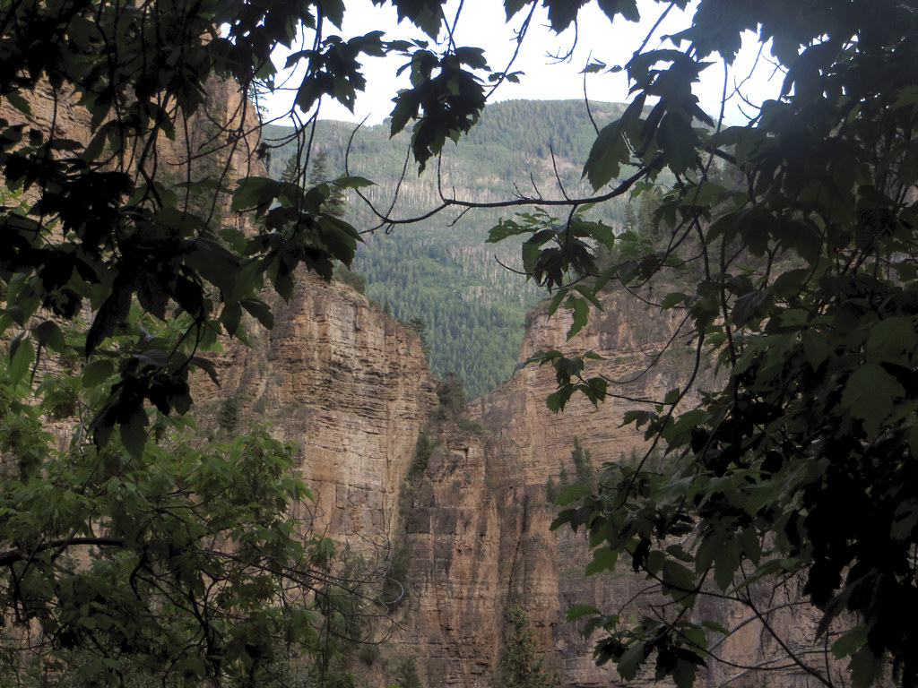 Lookout MountainHiking · ~5 min drivePhoto: WasifMalik, CC BY 2.0 (via Flickr)
 Hanging LakeHiking · ~7 min drivePhoto: inkknife_2000 (7.5 million views +), CC BY-SA 2.0 (via Wikimedia Commons)
 Glenwood Canyon TrailHiking · ~8 min drivePhoto: inkknife_2000 (7.5 million views +), CC BY-SA 2.0 (via Wikimedia Commons)
 Olsen Connector TrailHiking · ~9 min drivePhoto: Tony Webster, CC BY 2.0 (via Flickr)Wulfsohn Trail SouthHiking · ~9 min drivePhoto: Tony Webster, CC BY 2.0 (via Flickr)
Best months: April–June and September–October. Best months have typical highs of 55–85 °F, lows of 30 °F or warmer (32 °F where the station doesn't record snow), at most one snowy day and no more than 12 wet days.
Jan
36° / 15°
10 wet
Feb
43° / 20°
10 wet
Mar
53° / 28°
10 wet
Apr
61° / 35°
11 wet
May
71° / 44°
10 wet
Jun
83° / 51°
7 wet
Jul
89° / 59°
7 wet
Aug
87° / 58°
9 wet
Sep
79° / 50°
8 wet
Oct
65° / 38°
8 wet
Nov
49° / 27°
8 wet
Dec
36° / 16°
9 wet
Typical high / low (°F) and days with rain or snow, 1991–2020. Measured at Shoshone, CO, 1.9 mi away at 5,992 ft. The station sits about 1,500 ft lower than this place, so expect it a little cooler here. This station doesn't record snowfall. Source: NOAA NCEI U.S. Climate Normals 1991–2020.
