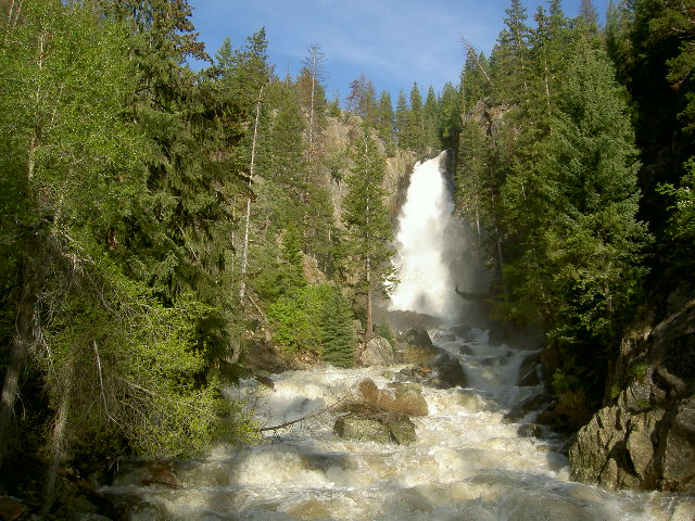
Fish Creek Barrier FR
 Photo: Eric Johnson, CC BY-SA 3.0 (via Wikimedia Commons)
- 1.1 mi
- round trip
- 81 ft
- climb
- 7,549 ft
- high point
- Out and back
- route
- May–Sep
- best months
Is Fish Creek Barrier FR open right now?
Closure in the area
There's a closure order in Hahns Peak-Bears Ears Ranger District. It doesn't name Fish Creek Barrier FR, so check the source for the area it covers.
Area Closure for the Fishhook Fire - Routt National Forest
Agency closure covering Hahns Peak-Bears Ears Ranger District · Order 02-06-03-26-222 · USFS · Hahns Peak-Bears Ears Ranger District
Access Impact: Big Creek Lakes Dam Project
Agency alert covering Medicine Bow-Routt National Forest · USFS · Medicine Bow-Routt National Forest
Trail & Access Impact: Stillwater Reservoir Project
Agency alert covering Medicine Bow-Routt National Forest · USFS · Medicine Bow-Routt National Forest
Snowy Range - 2026 Active Vegetation Operations
Agency alert covering Medicine Bow-Routt National Forest · USFS · Medicine Bow-Routt National Forest
As of · Source: USFS · Hahns Peak-Bears Ears Ranger District. Agencies don't list every closure — check before you go.
Fish Creek Barrier FR is a short, easy hike in the Hahns Peak-Bears Ears Ranger District of the Medicine Bow-Routt National Forest in northwest Colorado, managed by the Forest Service. The trail is about a mile long, with a one-way climb of about 80 feet from a low point of roughly 7,464 feet to a high of about 7,549 feet. The trail is paved and accessible, and bikes are allowed. It makes an easy outing for a short walk or a ride on a mountain bike. Summer is the most comfortable time to go. Typical averages from the nearby Steamboat Springs weather station show July highs around 83°F with lows near 46°F, while winter highs stay in the 20s and 30s. The Uranium Mine Trail starts just 0.1 mile away, and the Fish Creek hike is about 0.3 mile off. Climbers can head to Blob Rock, about 0.4 mile away, and Dry Lake Campground is about 3.7 miles away for an overnight stay.
Local outfitters
- Rancho Del Rio41 mi away
Not on Roamze yet. Their page has how to reach them.
- Uranium Mine TrailHikingPhoto: Eric Johnson, CC BY-SA 3.0 (via Wikimedia Commons)0.1 mi
- Fish CreekHikingPhoto: Eric Johnson, CC BY-SA 3.0 (via Wikimedia Commons)0.3 mi
- Blob RockRock climbing0.4 mi
- Butcher KnifeRock climbing2.2 mi
- Soda CreekCanoeing3.6 mi
- Dry Lake CampgroundCamping3.7 mi
- Granite CampgroundCamping4.8 mi
- Walton CreekCanoeing5.6 mi
Source: Roamze catalog (indexable pages within 10 miles, PostGIS distance)
- Uranium Mine TrailHiking · Next doorPhoto: Eric Johnson, CC BY-SA 3.0 (via Wikimedia Commons)
- Fish CreekHiking · Next doorPhoto: Eric Johnson, CC BY-SA 3.0 (via Wikimedia Commons)
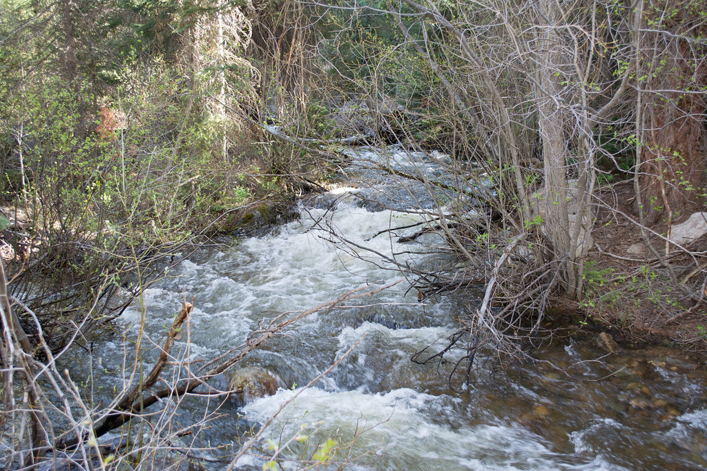 Ditch TrailHiking · ~3 min drivePhoto: bjwhite66212, CC BY-SA 2.0 (via Flickr)
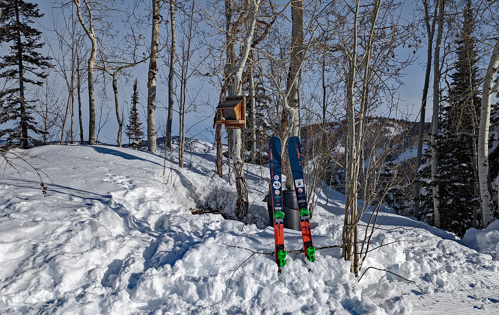 Tenderfoot TrailHiking · ~2 min drivePhoto: oc14me, CC BY 2.0 (via Flickr)
 Mountain ViewHiking · ~5 min drivePhoto: Greg Younger from Parker, Colorado, USA, USA, CC BY-SA 2.0 (via Wikimedia Commons)
- ThunderheadHiking · ~3 min drivePhoto: oc14me, CC BY 2.0 (via Flickr)
 Crekside Connector TrailHiking · ~2 min drivePhoto: John Holm from Leadville, CO, USA, CC BY 2.0 (via Wikimedia Commons)
- Why Not RoadHiking · ~2 min drive
 Storm Peak ChallengeHiking · ~4 min drivePhoto: Flyinace2000, CC BY-SA 2.0 (via Flickr)
 Gunsmoke TrailHiking · ~3 min drivePhoto: gregor_y, CC BY-SA 2.0 (via Flickr)
Also worth it near here
Best time to visit Fish Creek Barrier FR
Best months: May–September. Best months have typical highs of 55–85 °F, lows of 30 °F or warmer (32 °F where the station doesn't record snow), at most one snowy day and no more than 12 wet days.
Jan
29° / 5°
14 wet
Feb
34° / 8°
13 wet
Mar
45° / 18°
11 wet
Apr
54° / 27°
12 wet
May
65° / 34°
12 wet
Jun
76° / 39°
9 wet
Jul
83° / 46°
9 wet
Aug
82° / 44°
11 wet
Sep
74° / 36°
10 wet
Oct
59° / 26°
9 wet
Nov
43° / 16°
11 wet
Dec
30° / 6°
14 wet
Typical high / low (°F) and days with rain or snow, 1991–2020. Measured at Steamboat Springs, CO, 2.3 mi away at 6,866 ft. The station sits about 700 ft lower than this place, so expect it a little cooler here. This station doesn't record snowfall. Source: NOAA NCEI U.S. Climate Normals 1991–2020.