Matchless Campground
Campground
Campground · 0.2 mi from the trail
 Photo: markbyzewski, CC BY 2.0 (via Flickr)
Closure in the area
There's a closure order in Leadville Ranger District. It doesn't name Fallen Tree, so check the source for the area it covers.
Willow Fire Area Closure
Agency closure covering Leadville Ranger District · Order 02-12-01-26-39 · USFS · Leadville Ranger District
FSR 286, Radical Hill, is closed due to washouts and unsafe conditions
Agency alert covering Pike and San Isabel National Forests · USFS · Pike and San Isabel National Forests
Interlaken Hotel and Annex Area closure
Agency alert covering Leadville Ranger District · Order 02-12-01-26-19 · USFS · Leadville Ranger District
Interlaken Hotel Tree Hazards
Agency alert covering Pike and San Isabel National Forests · USFS · Pike and San Isabel National Forests
Sharpe Fire Update
Agency alert covering Pike and San Isabel National Forests · USFS · Pike and San Isabel National Forests
As of · Source: USFS · Leadville Ranger District. Agencies don't list every closure — check before you go.
Fallen Tree is an easy out-and-back hike of about 2.3 miles on natural trail in the Leadville Ranger District of the Pike and San Isabel National Forests, in Colorado. The route starts and ends at a low point of about 9,850 feet and climbs to roughly 9,926 feet, a gain of about 70 feet, and is managed by the Forest Service. Summer is the most comfortable time to go. Typical averages from a nearby weather station at a similar elevation show July highs around 73°F with lows near 39°F, while winter highs hover around freezing. The trail sits about 0.2 miles from Matchless Campground and the Matchless Boating Site, and Turquoise Lake Nature and the Bodfish hike are each within half a mile.
Matchless Campground
Campground
La Mina Tacos Y Mariscos
Restaurant
 If it rainsCraig Talbert, CC BY 3.0 · Wikimedia Commons
Places © OpenStreetMap contributors · Photos: Craig Talbert, CC BY 3.0 (commons)
More in LeadvilleTurquoise Lake NatureHikingPhoto: markbyzewski, CC BY 2.0 (via Flickr)0.3 mi Silver DollarCampingPhoto: Recreation.gov (RIDB) / public domain0.3 miBodfishHikingPhoto: markbyzewski, CC BY 2.0 (via Flickr)0.5 mi
Source: Roamze catalog (indexable pages within 10 miles, PostGIS distance)
Turquoise Lake NatureHiking · Next doorPhoto: markbyzewski, CC BY 2.0 (via Flickr) Rock CreekHiking · ~6 min drivePhoto: markbyzewski, CC BY 2.0 (via Flickr)
 West Dyer MountainHiking · ~6 min drivePhoto: christinejwarner, CC BY 2.0 (via Flickr)
 BUSK CREEKHiking · ~7 min drivePhoto: Altitude10k, CC BY 2.0 (via Flickr)BodfishHiking · Next doorPhoto: markbyzewski, CC BY 2.0 (via Flickr)
 Mount Massive East SlopesHiking · ~14 min drivePhoto: Gaep13 at en.wikipedia), Public domain (via Wikimedia Commons)
 Mount ElbertHiking · ~14 min drivePhoto: markbyzewski, CC BY 2.0 (via Flickr)Busk Creek TrailHiking · ~8 min drivePhoto: Altitude10k, CC BY 2.0 (via Flickr)
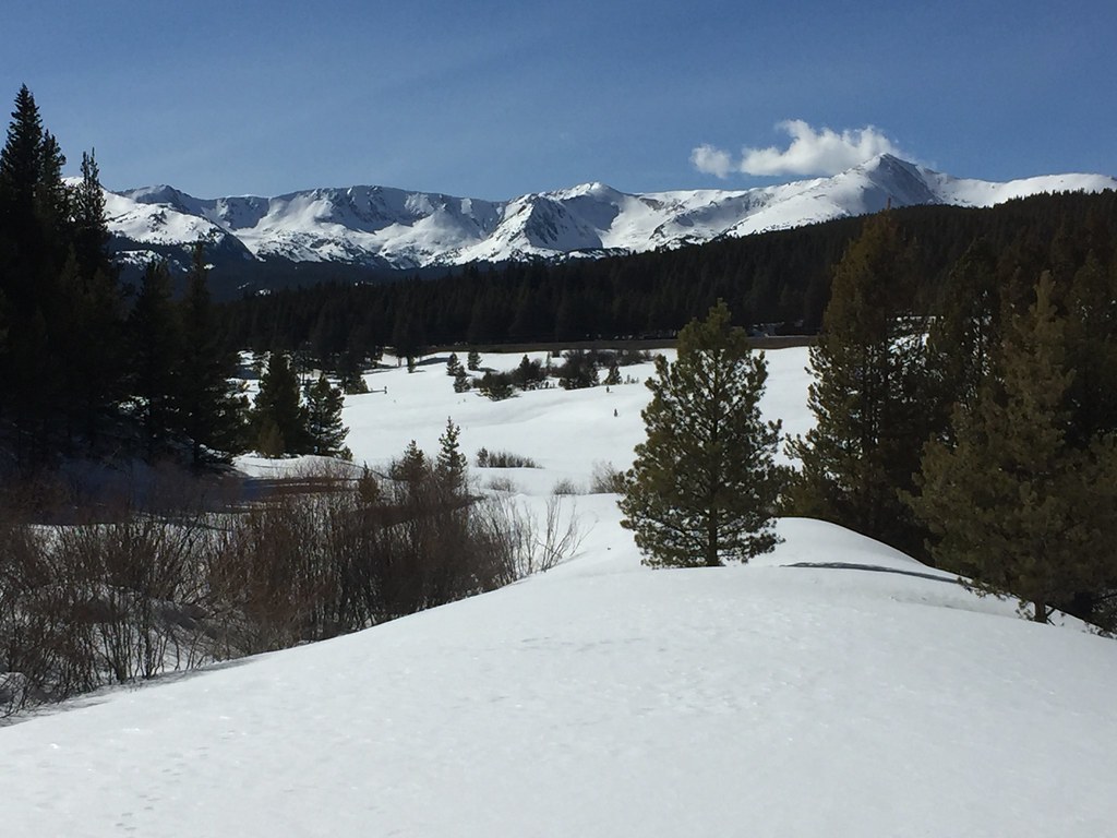 Treeline Loop Ski TrailHiking · ~12 min drivePhoto: C. K. Hartman, CC BY 2.0 (via Flickr)Colorado Trail Seg. 10 Hagerman Pass Road to Halfmoon CreekHiking · ~14 min drivePhoto: markbyzewski, CC BY 2.0 (via Flickr)
Best months: June–August. Best months have typical highs of 55–85 °F, lows of 30 °F or warmer (32 °F where the station doesn't record snow), at most one snowy day and no more than 12 wet days.
Jan
31° / 3°
8 wet
Feb
33° / 3°
8 wet
Mar
39° / 9°
8 wet
Apr
44° / 18°
8 wet
May
55° / 27°
9 wet
Jun
68° / 34°
9 wet
Jul
73° / 39°
12 wet
Aug
70° / 38°
12 wet
Sep
62° / 31°
8 wet
Oct
51° / 23°
6 wet
Nov
39° / 14°
7 wet
Dec
31° / 6°
7 wet
Typical high / low (°F) and days with rain or snow, 1991–2020. Measured at Sugarloaf Rsvr, CO, 1.1 mi away at 9,738 ft. This station doesn't record snowfall. Source: NOAA NCEI U.S. Climate Normals 1991–2020.
Map and trail data © OpenStreetMap contributors

