Upper Mill Creek
Campground
Campground · 1.6 mi from the trail
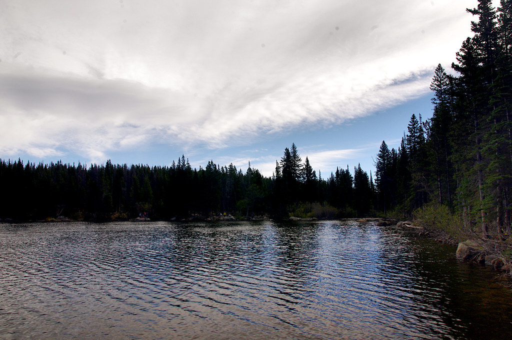 Photo: Juhele_CZ, Public Domain Dedication (CC0) (via Flickr)
Closure in the area
There's a closure order in Rocky Mountain National Park. It doesn't name Emerald Lake Trail, so check the source for the area it covers.
Prescribed Fire Operations are Underway near Beaver Meadows Visitor Center
Park closure covering Rocky Mountain National Park · NPS · Rocky Mountain National Park
As of · Source: NPS · Rocky Mountain National Park. Agencies don't list every closure — check before you go.
Emerald Lake Trail is a 1.6-mile out-and-back hike located in Colorado, managed by the National Park Service. This short trail offers an accessible option for hikers of varying abilities seeking to explore the region's natural features. The out-and-back format allows hikers to turn back at any point, making it suitable for families and those with time constraints. The trail's relatively modest distance makes it ideal for a quick outing or as part of a larger day of exploration. Being managed by the National Park Service, the trail is maintained to agency standards and benefits from their stewardship and infrastructure. Whether you're planning a brief nature walk or looking to combine this hike with other nearby trails, Emerald Lake Trail provides a straightforward hiking experience in Colorado. Check current conditions with the National Park Service before your visit, as trail status may vary seasonally. Bring adequate water and sun protection, and plan your visit during daylight hours to ensure a safe experience on this scenic route.
Upper Mill Creek
Campground
Aspen Dining
Restaurant
 If it rainsMatt Golon, CC BY-SA 3.0 · Wikimedia Commons
Places © OpenStreetMap contributors · Photos: Matt Golon, CC BY-SA 3.0 (commons)
More in Estes ParkNot on Roamze yet. Their page has how to reach them.
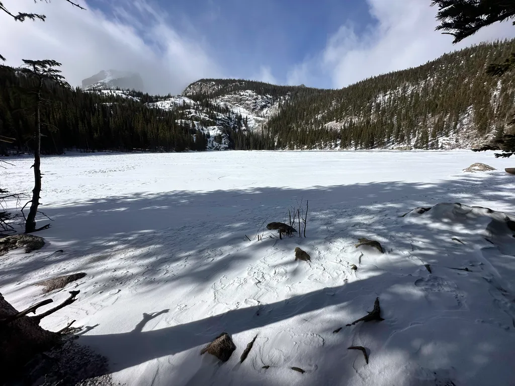 Bear LakeHikingPhoto: NPS / public domain0.1 mi
 Bear Lake Stock TrailHikingPhoto: Jim Halligan, CC BY 2.0 (via Wikimedia Commons)0.1 mi
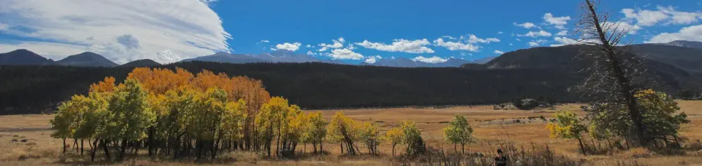 Rocky Mountain National Park Glacier Basin CampgroundCampingPhoto: Recreation.gov (RIDB) / public domain3 mi
Source: Roamze catalog (indexable pages within 10 miles, PostGIS distance)
 Glacier Gorge TrailHiking · Next doorPhoto: Juhele_CZ, Public Domain Dedication (CC0) (via Flickr)
 Lake Haiyaha TrailHiking · ~1 min drivePhoto: F Delventhal from Outside Washington, D.C., US, CC BY 2.0 (via Wikimedia Commons)Bear Lake Loop TrailHiking · Next doorPhoto: Juhele_CZ, Public Domain Dedication (CC0) (via Flickr)Pagoda MountainHiking · Next doorPhoto: Jim Halligan, CC BY 2.0 (via Wikimedia Commons)
 Mill Creek Basin TrailHiking · ~2 min drivePhoto: Elmschrat, CC BY-SA 3.0 (via Wikimedia Commons)
Best months: June and September. Best months have typical highs of 55–85 °F, lows of 30 °F or warmer (32 °F where the station doesn't record snow), at most one snowy day and no more than 12 wet days.
Jan
29° / 12°
15 wet
Feb
28° / 11°
16 wet
Mar
36° / 17°
16 wet
Apr
40° / 22°
17 wet
May
50° / 29°
16 wet
Jun
62° / 36°
12 wet
Jul
68° / 43°
14 wet
Aug
66° / 41°
13 wet
Sep
59° / 34°
10 wet
Oct
47° / 26°
10 wet
Nov
35° / 19°
12 wet
Dec
28° / 12°
15 wet
Typical high / low (°F) and days with rain or snow, 1991–2020. Measured at Boulder 14 W, CO, 19.9 mi away at 9,828 ft. This station doesn't record snowfall. Source: NOAA NCEI U.S. Climate Normals 1991–2020.
Map and trail data © OpenStreetMap contributors


