Upper Mill Creek
Campground
Campground · 1.6 mi from the trail
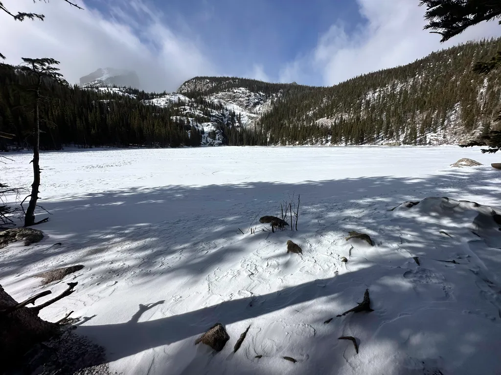 Photo: NPS / public domain
Closure in the area
There's a closure order in Rocky Mountain National Park. It doesn't name Bear Lake, so check the source for the area it covers.
Prescribed Fire Operations are Underway near Beaver Meadows Visitor Center
Park closure covering Rocky Mountain National Park · NPS · Rocky Mountain National Park
As of · Source: NPS · Rocky Mountain National Park. Agencies don't list every closure — check before you go.
Bear Lake Road ends 9.2 miles from the junction with Trail Ridge Road at the Parking Area for Bear Lake. From the parking area, take a short walk on a marked path to reach Bear Lake itself. Bear Lake offers spectacular scenic views of Bear Lake, Hallett Peak and the surrounding mountain peaks. During the winter season, the walkway from the parking area to Bear Lake and the Bear Lake Nature Trail are covered with snow and ice. Traction devices are recommended to help prevent slips and falls. Due to the popularity of this destination, Bear Lake Parking Area fills early in the day. This is especially true on weekends and holidays. During the winter season, shutle service is not available. Bear Lake Trailhead is a gateway to many popular high elevation hiking destinations in Rocky Mountain National Park, including the Bear Lake Nature Trail, Nymph Lake, Dream Lake, Emerald Lake, Bierstadt Lake, Flattop Mountain and more! Be prepared for cold weather and winter hiking conditions. It can be very windy. If heading to destinations above Bear Lake, snowshoes, traction devices, and hiking poles are recommended.
Upper Mill Creek
Campground
Aspen Dining
Restaurant
 If it rainsMatt Golon, CC BY-SA 3.0 · Wikimedia Commons
Places © OpenStreetMap contributors · Photos: Matt Golon, CC BY-SA 3.0 (commons)
More in Estes ParkNot on Roamze yet. Their page has how to reach them.
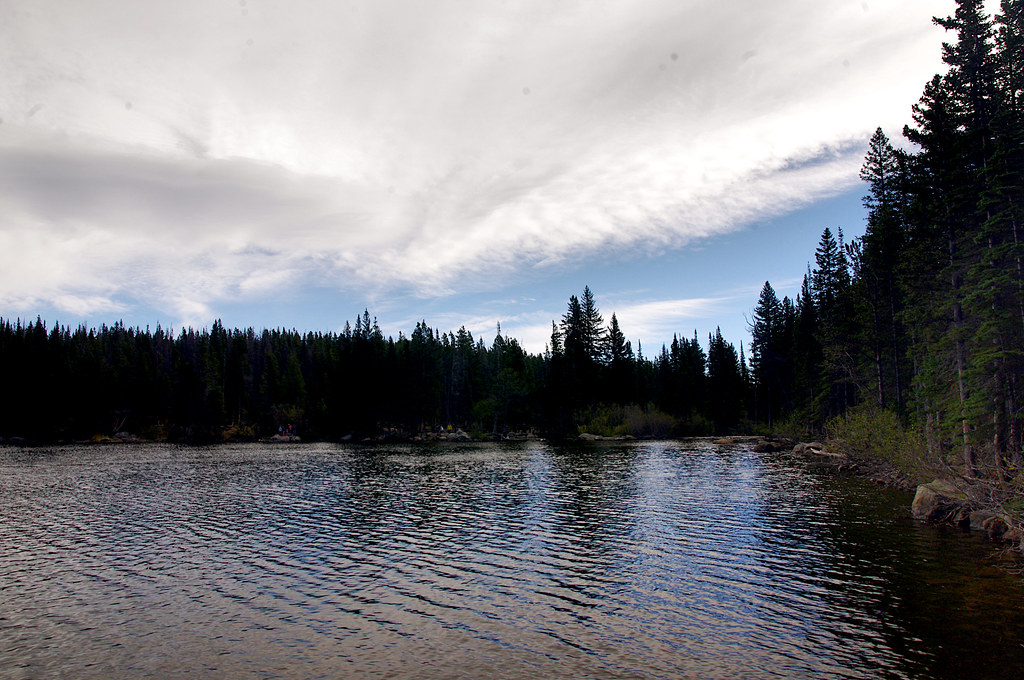 Emerald Lake TrailHikingPhoto: Juhele_CZ, Public Domain Dedication (CC0) (via Flickr)0.1 mi
 Bear Lake Stock TrailHikingPhoto: Jim Halligan, CC BY 2.0 (via Wikimedia Commons)0.1 mi
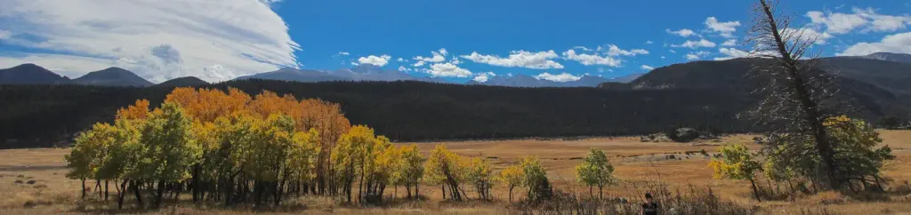 Rocky Mountain National Park Glacier Basin CampgroundCampingPhoto: Recreation.gov (RIDB) / public domain3 mi
Source: Roamze catalog (indexable pages within 10 miles, PostGIS distance)
Emerald Lake TrailHiking · Next doorPhoto: Juhele_CZ, Public Domain Dedication (CC0) (via Flickr) Chiefs Head PeakHiking · Next doorPhoto: Juhele_CZ, Public Domain Dedication (CC0) (via Flickr)
 Lake Haiyaha TrailHiking · ~1 min drivePhoto: F Delventhal from Outside Washington, D.C., US, CC BY 2.0 (via Wikimedia Commons)Bear Lake Loop TrailHiking · Next doorPhoto: Juhele_CZ, Public Domain Dedication (CC0) (via Flickr)
 McHenrys PeakHiking · Next doorPhoto: InSapphoWeTrust from Los Angeles, California, USA, CC BY-SA 2.0 (via Wikimedia Commons)
 Mill Creek Basin TrailHiking · ~2 min drivePhoto: Elmschrat, CC BY-SA 3.0 (via Wikimedia Commons)
Best months: June and September. Best months have typical highs of 55–85 °F, lows of 30 °F or warmer (32 °F where the station doesn't record snow), at most one snowy day and no more than 12 wet days.
Jan
30° / 4°
14 wet · 14 snow
Feb
34° / 6°
13 wet · 12 snow
Mar
42° / 14°
12 wet · 9 snow
Apr
49° / 20°
11 wet · 6 snow
May
59° / 28°
12 wet · 2 snow
Jun
71° / 34°
11 wet
Jul
76° / 40°
14 wet
Aug
73° / 38°
15 wet
Sep
68° / 32°
12 wet · 1 snow
Oct
55° / 23°
10 wet · 4 snow
Nov
40° / 13°
11 wet · 9 snow
Dec
30° / 5°
14 wet · 13 snow
Typical high / low (°F) and days with rain or snow, 1991–2020. Measured at Grand Lake 1 Nw, CO, 10.3 mi away at 8,720 ft. The station sits about 800 ft lower than this place, so expect it a little cooler here. Source: NOAA NCEI U.S. Climate Normals 1991–2020.


