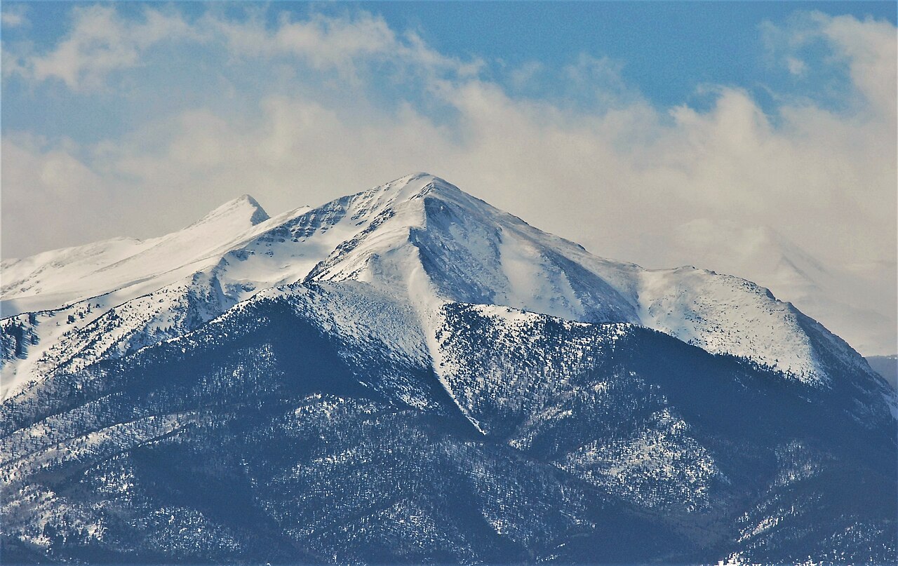
Elaine
- 3.4 mi
- round trip
- 2,152 ft
- climb
- 11,920 ft
- high point
- Out and back
- route
Is Elaine open right now?
Closure in the area
There's a closure order in Rio Grande National Forest. It doesn't name Elaine, so check the source for the area it covers.
Closures and dangerous conditions on roads, bridges, and trails from flooding
Agency closure covering Rio Grande National Forest · USFS · Rio Grande National Forest
As of · Source: USFS · Rio Grande National Forest. Agencies don't list every closure — check before you go.
Elaine is a 3.4-mile out-and-back hike in Colorado's Sangre de Cristo Wilderness, within the Saguache Ranger District of the Rio Grande National Forest. The trail climbs from about 9,770 feet to about 11,920 feet, a gain of 2,152 feet, and is rated moderate. The Forest Service manages the land, and the route is natural-surfaced and open to horses. The trail is open from about May 16 to November 15. Bikes are not allowed. Rito Alto, a mountain biking area, lies about a mile away, and the Wild Cherry hike is about 1.9 miles off. North Crestone Creek Campground is about 6 miles away, and the Crestone climbing area is about 7.5 miles away.
Local outfitters
- San Luis Valley Campground15 mi away
- Journey Quest23 mi away
Not on Roamze yet. Their page has how to reach them.
- Rito AltoMountain biking1.1 mi
- Wild CherryHiking1.9 mi
- San IsabelMountain biking3.5 mi
- North Crestone Creek CampgroundCamping6.1 mi
- North Crestone CampgroundCamping6.3 mi
 CrestoneRock climbingPhoto: ikewinski, CC BY 2.0 (via Flickr)7.5 mi
- Sangre de Cristo RangeRock climbing8.4 mi
 San Luis CreekCanoeingPhoto: Scarpy, CC BY-SA 3.0 (via Wikimedia Commons)9.8 mi
Source: Roamze catalog (indexable pages within 10 miles, PostGIS distance)
 GarnerHiking · ~12 min drivePhoto: lamblukas, CC BY 2.0 (via Flickr)
- Cottonwood PeakHiking · ~12 min drivePhoto: lamblukas, CC BY 2.0 (via Flickr)
- San Isabel LakeHiking · ~6 min drive
- Venable LakeHiking · ~9 min drive
- Rito AltoHiking · ~4 min drive
 Mount AdamsHiking · ~14 min drivePhoto: Todd Dwyer, CC BY-SA 3.0 (via Wikimedia Commons)
- Rio Alto TrailHiking · ~8 min drive
- Dimmick Gulch trailHiking · ~10 min drive
- CottonHiking · ~6 min drive
- Challenger PointHiking · ~14 min drivePhoto: Todd Dwyer, CC BY-SA 3.0 (via Wikimedia Commons)