Coffee pot springs campground
Campground
Campground · 5.2 mi from the trail
Alert in the area
The Forest Service lists 6 alerts for White River National Forest.
FSR 286, Radical Hill, is closed due to washouts and unsafe conditions
Agency alert covering White River National Forest · USFS · White River National Forest
Limited parking at Snowmass Creek Trailhead
Agency alert covering White River National Forest · USFS · White River National Forest
Grizzly Creek Trail Closure
Agency alert covering White River National Forest · Order 2026-02 · USFS · White River National Forest
Ruedi Marina Day Use area Dump Station is CLOSED
Agency alert covering White River National Forest · USFS · White River National Forest
Asbestos safety closure - Camp Hale
Agency alert covering White River National Forest · USFS · White River National Forest
As of · Source: USFS · White River National Forest. Agencies don't list every closure — check before you go.
East No Name is a 3.7-mile out-and-back hike in the Rifle Ranger District of Colorado's White River National Forest, managed by the Forest Service. The trail rises from about 8,950 feet to a high point of 10,002 feet, with a total elevation gain of 1,033 feet. It is a moderate route, and the climb is spread across the full length of the trail. The trail is accessible and has a natural surface. Horses are allowed, but bikes are not. The Forest Service lists it as accessible, so it works for a range of visitors. The hike is open year-round, and the nearest town is Glenwood Springs, about 10 miles away. For more time on foot, the Palmer Lake hike lies about a mile off. Coffee Pot Springs Campground and the Poison Ivy Wall climbing area are both about 5 miles away. Glenwood Canyon Resort is roughly 6 miles out.
Coffee pot springs campground
Campground
Smokehouse
Restaurant
Thermal springs in Colorado
Places © OpenStreetMap contributors
More in Glenwood SpringsNot on Roamze yet. Their page has how to reach them.
 Coffee pot springs campgroundCampingPhoto: KimonBerlin, CC BY-SA 2.0 (via Wikimedia Commons)5.2 mi
 Glenwood Canyon ResortCampingPhoto: DimiTalen, CC BY-SA 3.0 (via Wikimedia Commons)6.2 mi
Source: Roamze catalog (indexable pages within 10 miles, PostGIS distance)
 Broken RibHiking · ~6 min drivePhoto: KimonBerlin, CC BY-SA 2.0 (via Flickr)
 Glenwood Canyon TrailHiking · ~12 min drivePhoto: inkknife_2000 (7.5 million views +), CC BY-SA 2.0 (via Wikimedia Commons)
 Grizzly CreekHiking · ~9 min drivePhoto: Loco Steve, CC BY 3.0 (via Wikimedia Commons)
 Wulfsohn Trail SouthHiking · ~12 min drivePhoto: Tony Webster, CC BY 2.0 (via Flickr)
 Hanging LakeHiking · ~12 min drivePhoto: inkknife_2000 (7.5 million views +), CC BY-SA 2.0 (via Wikimedia Commons)
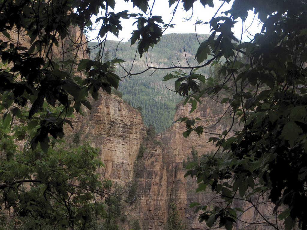 Lookout MountainHiking · ~12 min drivePhoto: WasifMalik, CC BY 2.0 (via Flickr)
Also worth it near here

