Bear Creek Lake City Park
Campground
Campground · 0.3 mi from the trail
 Photo: oddharmonic, CC BY-SA 2.0 (via Flickr)
Fisherman's Trail is an easy out-and-back hike of about 0.7 miles in Bear Creek Lake Park in Colorado, on city-managed land about a mile from the town of Spring Hill. The trail is short and nearly flat, with a total elevation gain of about 56 feet, so it works well as a quick outing before or after time on the park's mountain biking routes. The climb is front-loaded, with the steepest stretch coming within the first 0.05 miles. The high point is about 5595 feet, and the trail starts and ends around 5568 feet. For comfortable weather, late spring and early fall are the best bets. Typical averages from a nearby weather station run to highs around 69°F in May and 77°F in September, while July highs average about 86°F. The Fisherman's mountain biking route sits just 0.2 miles away, and Bear Creek Trail and Mt. Carbon Loop are both within half a mile. Climbers can find the Magnum Block area about 2.4 miles off.
Bear Creek Lake City Park
Campground
The Homestead Grill Restaurant
Restaurant
 If it rainsJean-Luc Margot, Public domain · Wikimedia Commons
Places © OpenStreetMap contributors · Photos: Jean-Luc Margot, Public domain (commons)
More in Idaho SpringsNot on Roamze yet. Their page has how to reach them.
 Dasani AreaRock climbingPhoto: Sharon Mollerus, CC BY 2.0 (via Flickr)2.4 mi
Source: Roamze catalog (indexable pages within 10 miles, PostGIS distance)
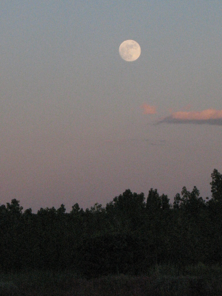 Mt. Carbon LoopHiking · Next doorPhoto: oddharmonic, CC BY-SA 2.0 (via Flickr)
 Turkey Trot TrailHiking · ~5 min drivePhoto: Jesse James — CC BY 2.0 (via Flickr)Connector TrailHiking · ~1 min drivePhoto: oddharmonic, CC BY-SA 2.0 (via Flickr)
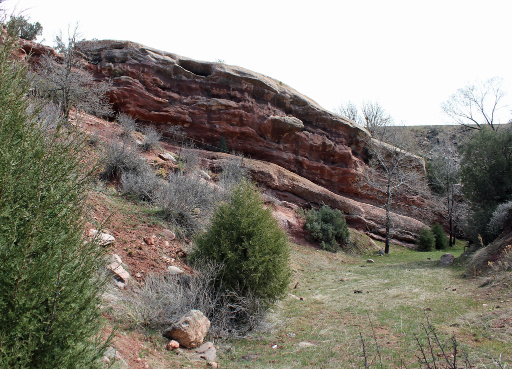 Weaver Gulch TrailHiking · ~7 min drivePhoto: Jeffrey Beall, CC BY-SA 2.0 (via Flickr)
 Cowen TrailHiking · ~2 min drivePhoto: gregor_y, CC BY-SA 2.0 (via Flickr)Cowen TrailHiking · ~2 min drivePhoto: gregor_y, CC BY-SA 2.0 (via Flickr)
 Mossbrucker TrailHiking · ~5 min drivePhoto: Ben Mason, CC BY 2.0 (via Flickr)
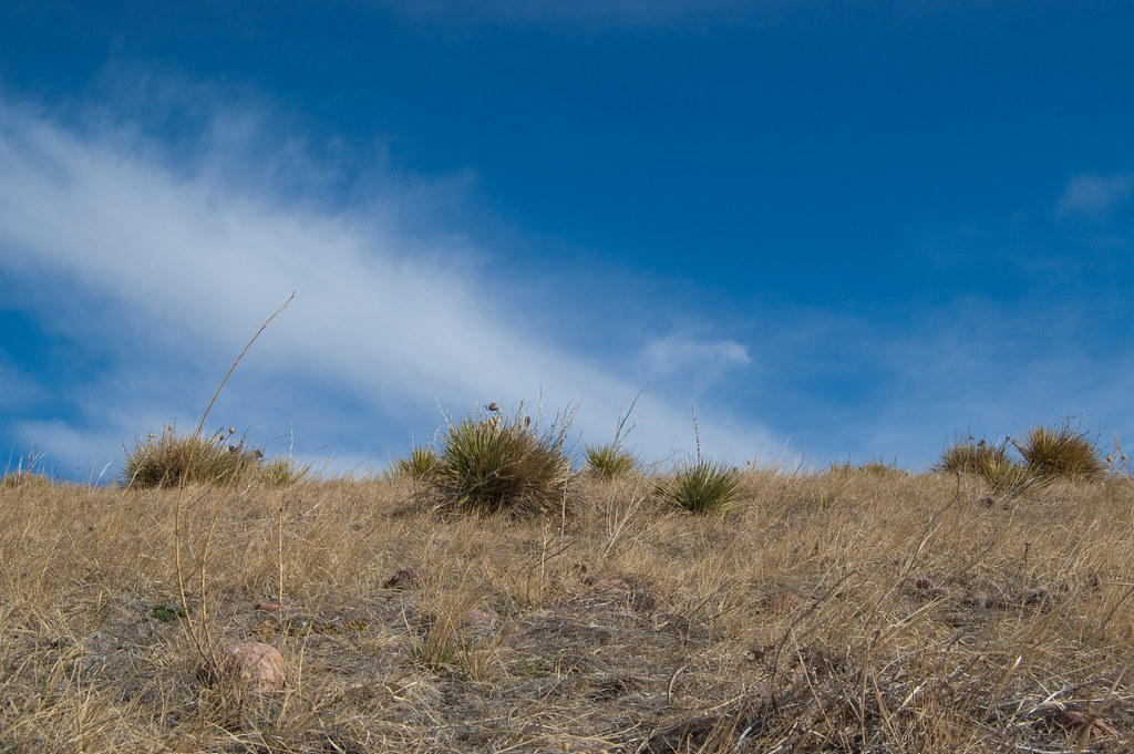 Green Mountain TrailHiking · ~5 min drivePhoto: Ben Mason, CC BY 2.0 (via Flickr)
Best months: April–June and August–October. Best months have typical highs of 55–85 °F, lows of 30 °F or warmer (32 °F where the station doesn't record snow), at most one snowy day and no more than 12 wet days.
Jan
46° / 19°
4 wet
Feb
47° / 20°
4 wet
Mar
55° / 28°
5 wet
Apr
60° / 34°
7 wet
May
69° / 44°
9 wet
Jun
81° / 53°
8 wet
Jul
86° / 60°
8 wet
Aug
85° / 57°
9 wet
Sep
77° / 49°
6 wet
Oct
64° / 37°
5 wet
Nov
53° / 28°
4 wet
Dec
45° / 20°
4 wet
Typical high / low (°F) and days with rain or snow, 1991–2020. Measured at Marston Fltr Plt, CO, 4.4 mi away at 5,610 ft. This station doesn't record snowfall. Source: NOAA NCEI U.S. Climate Normals 1991–2020.
Map and trail data © OpenStreetMap contributors

