Sig Creek Campground
Campground
Campground · 3.1 mi from the trail
 Photo: Daniel Weber, Public Domain Dedication (CC0) (via Flickr)
Closure in the area
There's a closure order in Columbine Ranger District. It doesn't name Cutthroat, so check the source for the area it covers (5 listed).
Pagosa Ranger District Road Closure
Agency closure covering Columbine Ranger District · Order 02-13-08-26-17 · USFS · Columbine Ranger District
COLUMBINE RANGER DISTRICT Road Closure
Agency closure covering Columbine Ranger District · Order 02-13-08-26-18 · USFS · Columbine Ranger District
Travel is not advised to the San Juan NF
Agency closure covering San Juan National Forest · USFS · San Juan National Forest
Closures and dangerous conditions on roads, bridges, and trails from flooding
Agency closure covering San Juan National Forest · USFS · San Juan National Forest
Multiple roads and trails damaged by flooding on SJNF
Agency closure covering San Juan National Forest · USFS · San Juan National Forest
As of · Source: USFS · Columbine Ranger District. Agencies don't list every closure — check before you go.
Cutthroat is a hard hike in Colorado's San Juan National Forest, within the Columbine Ranger District. The trail is an out-and-back of about 12 miles, with a one-way elevation gain of 1,302 feet, taking you from a low point of 8,860 feet to a high of 9,797 feet. The Forest Service manages the land, and the trail is natural-surfaced and open to bikes. Summer is the most comfortable time to go. Typical averages from the nearby Silverton weather station, which sits about 500 feet lower, show July highs around 75°F with lows near 38°F, while winter highs stay in the mid-30s and lows drop to around -6°F in January. The trail opens from May 1 to November 14, and the Upper Hermosa Creek Trailhead is the parking for the route. Within a few miles you'll find the Hermosa Park Road Boulders climbing area and the Genesis Wall (Canyon Entrance) climbing area, along with the Beginner Loop and Fruit Loop cross-country ski routes.
Sig Creek Campground
Campground
Hoody's
Restaurant
Little Hawaii Grotto
Attraction
Places © OpenStreetMap contributors
More in TellurideNot on Roamze yet. Their page has how to reach them.
No month here meets our mild-weather rule. Best months have typical highs of 55–85 °F, lows of 30 °F or warmer (32 °F where the station doesn't record snow), at most one snowy day and no more than 12 wet days.
Jan
34° / -6°
9 wet
Feb
36° / -3°
9 wet
Mar
43° / 6°
10 wet
Apr
48° / 17°
9 wet
May
58° / 25°
9 wet
Jun
70° / 31°
7 wet
Jul
75° / 38°
13 wet
Aug
72° / 37°
15 wet
Sep
66° / 30°
12 wet
Oct
55° / 20°
9 wet
Nov
43° / 7°
8 wet
Dec
34° / -5°
9 wet
Typical high / low (°F) and days with rain or snow, 1991–2020. Measured at Silverton, CO, 14.8 mi away at 9,285 ft. The station sits about 500 ft lower than this place, so expect it a little cooler here. This station doesn't record snowfall. Source: NOAA NCEI U.S. Climate Normals 1991–2020.
 Photo: Frans-Banja Mulder, CC BY 3.0 (via Wikimedia Commons)
Engineer Mountain
~4 min drive
19.94-mile out-and-back trail in Colorado with 5,333 ft elevation gain and a max elevation of 12,193 ft.
 Photo: Frans-Banja Mulder, CC BY 3.0 (via Wikimedia Commons)
Castle Rock Trail
~5 min drive
1.44-mile out-and-back hike in Colorado with 666 ft gain/loss
 Photo: aoiaio, CC BY 3.0 (via Wikimedia Commons)
Pass
~9 min drive
4.96-mile out-and-back trail in Colorado with 1,005 ft gain.
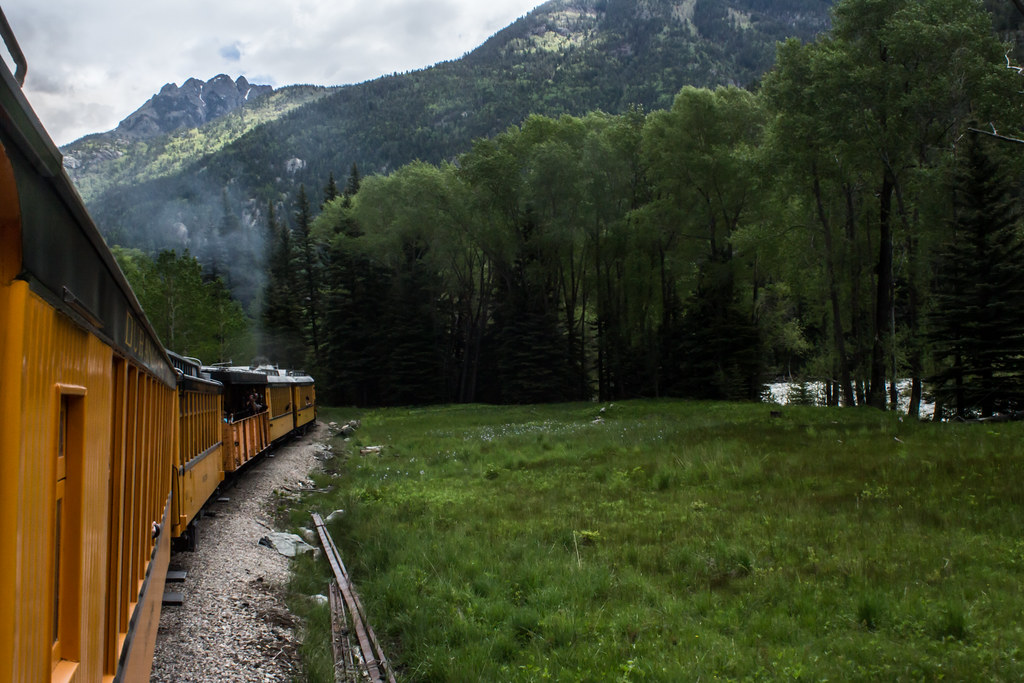 Photo: markbyzewski, CC BY 2.0 (via Flickr)
Jupiter Mountain
~13 min drive
Route to the summit of Jupiter Mountain (13,819 ft) from Needleton.
Photo: aoiaio, CC BY 3.0 (via Wikimedia Commons)Coal Creek
~10 min drive
6.08-mile out-and-back trail in Colorado with 1,608 ft elevation gain.
 Photo: markbyzewski, CC BY 2.0 (via Flickr)
Wagon Trail
~13 min drive
2.34-mile out-and-back trail in Colorado with 579 ft elevation gain and loss.
 Photo: markbyzewski, CC BY 2.0 (via Flickr)
Deer Creek
~12 min drive
9.48-mile out-and-back trail in Colorado managed by San Juan National Forest.
 Photo: markbyzewski, CC BY 2.0 (via Flickr)
Grizzly Peak
~13 min drive
Route to the summit of Grizzly Peak (13,642 ft) from Needleton.
Photo: markbyzewski, CC BY 2.0 (via Flickr)Dutch Creek Trail
~11 min drive
12.2-mile out-and-back trail in Colorado with 3,935 ft elevation gain and loss.
 Photo: markbyzewski, CC BY 2.0 (via Flickr)
Aspen Loop
~13 min drive
2.37-mile out-and-back trail in Colorado with 99 ft elevation gain.

