Sig Creek Campground
Campground
Campground · 4.9 mi from the trail
 Photo: Frans-Banja Mulder, CC BY 3.0 (via Wikimedia Commons)
Closure in the area
There's a closure order in Columbine Ranger District. It doesn't name Engineer Mountain, so check the source for the area it covers (5 listed).
Pagosa Ranger District Road Closure
Agency closure covering Columbine Ranger District · Order 02-13-08-26-17 · USFS · Columbine Ranger District
COLUMBINE RANGER DISTRICT Road Closure
Agency closure covering Columbine Ranger District · Order 02-13-08-26-18 · USFS · Columbine Ranger District
Travel is not advised to the San Juan NF
Agency closure covering San Juan National Forest · USFS · San Juan National Forest
Closures and dangerous conditions on roads, bridges, and trails from flooding
Agency closure covering San Juan National Forest · USFS · San Juan National Forest
Multiple roads and trails damaged by flooding on SJNF
Agency closure covering San Juan National Forest · USFS · San Juan National Forest
As of · Source: USFS · Columbine Ranger District. Agencies don't list every closure — check before you go.
Engineer Mountain is a hard out-and-back hike in Colorado's San Juan National Forest, within the Columbine Ranger District. It rises from a low point of about 9,074 feet to a high of about 12,193 feet, with a total elevation gain of about 5,333 feet over a trip of roughly 20 miles. The Forest Service manages the land. The trail is natural-surfaced and allows horses and bikes, which makes it a versatile route for different kinds of riders. The trip is best planned for late spring through early fall, when the open season runs from June 1 to September 30, and the parking is at the Cascade Creek Trailhead. Several other destinations sit close by. Cascade Canyon and Genesis Wall (Canyon Entrance) are both climbing areas within about half a mile, and Cascade Creek offers canoeing about 1.2 miles away. Sig Creek Campground, roughly 4.9 miles off, is the nearest campground.
Sig Creek Campground
Campground
La Marmotte
Restaurant
Little Hawaii Grotto
Attraction
Places © OpenStreetMap contributors
More in TellurideNot on Roamze yet. Their page has how to reach them.
 Photo: Daniel Weber, Public Domain Dedication (CC0) (via Flickr)
Cutthroat
~4 min drive
12.34-mile out-and-back trail in Colorado with 1,302 ft gain and 9,797 ft max elevation.
 Photo: aoiaio, CC BY 3.0 (via Wikimedia Commons)
Pass
~5 min drive
4.96-mile out-and-back trail in Colorado with 1,005 ft gain.
 Photo: Frans-Banja Mulder, CC BY 3.0 (via Wikimedia Commons)
Castle Rock Trail
~8 min drive
1.44-mile out-and-back hike in Colorado with 666 ft gain/loss
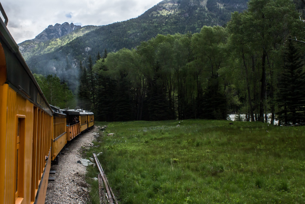 Photo: markbyzewski, CC BY 2.0 (via Flickr)
Jupiter Mountain
~11 min drive
Route to the summit of Jupiter Mountain (13,819 ft) from Needleton.
Photo: aoiaio, CC BY 3.0 (via Wikimedia Commons)Coal Creek
~6 min drive
6.08-mile out-and-back trail in Colorado with 1,608 ft elevation gain.
 Photo: mjhbower, CC BY-SA 2.0 (via Flickr)
Snowdon Peak
~11 min drive
Route to the summit of Snowdon Peak (13,074 ft) from Crater Lake.
 Photo: markbyzewski, CC BY 2.0 (via Flickr)
Andrews Lake Fishing
~11 min drive
0.22-mile out-and-back fishing trail at Andrews Lake in Colorado.
 Photo: markbyzewski, CC BY 2.0 (via Flickr)
Grizzly Peak
~11 min drive
Route to the summit of Grizzly Peak (13,642 ft) from Needleton.
 Photo: Daniel Weber, Public Domain Dedication (CC0) (via Flickr)
Beattie Peak
~14 min drive
Route to the summit of Beattie Peak (13,307 ft) from Rico-Silverton Trailhead.
 Photo: daveynin, CC BY 2.0 (via Flickr)
Molas Trail System
~14 min drive
5.52-mile out-and-back trail in Colorado with 872 ft gain/loss and 10,587 ft max elevation.


