Castle Pass
- 12.5 mi
- round trip
- 2,505 ft
- climb
- 11,066 ft
- high point
- Out and back
- route
Is Castle Pass open right now?
Closure in the area
There's a closure order in Grand Mesa, Uncompahgre and Gunnison National Forests. It doesn't name Castle Pass, so check the source for the area it covers (2 listed).
Gold Mountain Wildfire Roads and Trails Closure Order v 4.0
Agency closure covering Grand Mesa, Uncompahgre and Gunnison National Forests · USFS · Grand Mesa, Uncompahgre and Gunnison National Forests
Ophir Pass Road Closure
Agency closure covering Grand Mesa, Uncompahgre and Gunnison National Forests · USFS · Grand Mesa, Uncompahgre and Gunnison National Forests
Potter Basin and Beaver Park Roads Emergency Closures
Agency alert covering Grand Mesa, Uncompahgre and Gunnison National Forests · USFS · Grand Mesa, Uncompahgre and Gunnison National Forests
TERMINATION OF ORDER - FIRE RESTRICTIONS
Agency alert covering Grand Mesa, Uncompahgre and Gunnison National Forests · USFS · Grand Mesa, Uncompahgre and Gunnison National Forests
Dallas Area Closure order
Agency alert covering Grand Mesa, Uncompahgre and Gunnison National Forests · USFS · Grand Mesa, Uncompahgre and Gunnison National Forests
As of · Source: USFS · Grand Mesa, Uncompahgre and Gunnison National Forests. Agencies don't list every closure — check before you go.
Castle Pass is a hard hike in Colorado's West Elk Wilderness, part of the Gunnison Ranger District of the Grand Mesa, Uncompahgre and Gunnison National Forests. The trail is an out-and-back that climbs from about 9,500 feet to 11,066 feet, with a total elevation gain of 2,505 feet over roughly 12.5 miles. The Forest Service manages the land, and the route is natural-surface, not accessible, and allows horses but not bikes. The trail is open from July 1 through October 31, and the climb is steep enough to make it a serious outing. The Lowline and the Costo Lake hikes both start within half a mile, and the Lowline Trail 438 mountain bike route is about half a mile away. For an overnight base, Kebler Pass Camping Area is about 6.7 miles off.
Local outfitters
- Maroon Bells Guide and Outfitters31 mi away
- Taylor Park Trading Post32 mi away
Not on Roamze yet. Their page has how to reach them.
- LowlineHiking0.1 mi
- Costo LakeHiking0.4 mi
 Lowline Trail 438Mountain bikingPhoto: John Sowell, CC BY-SA 4.0 (via Wikimedia Commons)0.5 mi
- Cliff CreekCanoeing6.5 mi
- Kebler Pass Camping AreaCamping6.7 mi
- Splains Gulch Camping AreaCamping7.3 mi
- Lost Lake CampgroundCamping7.7 mi
- Ruby Anthracite CreekCanoeing8.4 mi
Source: Roamze catalog (indexable pages within 10 miles, PostGIS distance)
 West Elk PeakHiking · ~7 min drivePhoto: John Sowell, CC BY-SA 4.0 (via Wikimedia Commons)
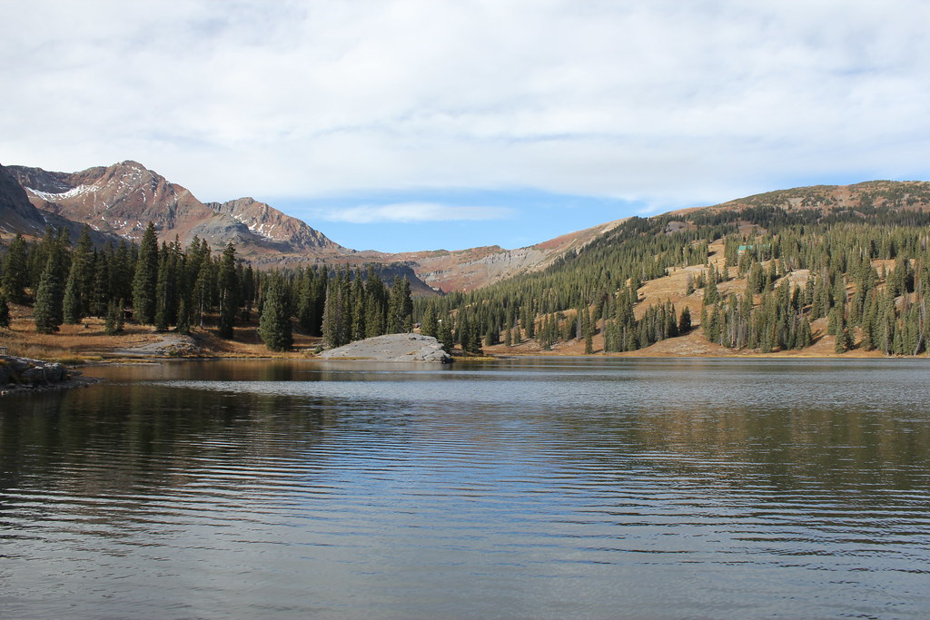 Irwin Lake TrailHiking · ~14 min drivePhoto: Jeffrey Beall, CC BY-SA 2.0 (via Flickr)
 Cliff CreekHiking · ~9 min drivePhoto: indigoprime, CC BY 2.0 (via Flickr)
- Costo LakeHiking · Next door
- Beaver PondsHiking · ~8 min drivePhoto: John Sowell, CC BY-SA 4.0 (via Wikimedia Commons)
- Beckwith BenchHiking · ~9 min drivePhoto: indigoprime, CC BY 2.0 (via Flickr)
- Swampy Pass Trail 439Hiking · ~3 min drive
- Braun BypassHiking · ~6 min drive
- LowlineHiking · Next door
- Mosley RidgeHiking · ~10 min drive
