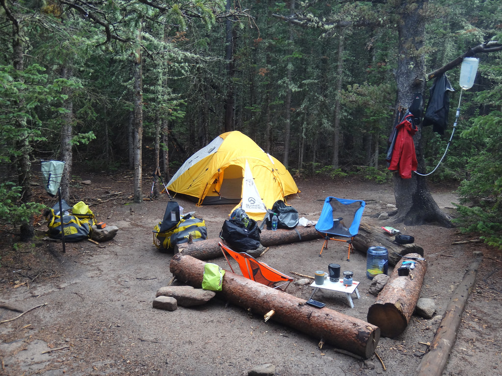
Longs Peak Campground
Campground
Campground · 0.4 mi from the trail
Closure in the area
There's a closure order in Rocky Mountain National Park. It doesn't name Camp Timberline Trail, so check the source for the area it covers.
Trail Ridge Road is Closed to Through Travel for the Season
Park closure covering Rocky Mountain National Park · NPS · Rocky Mountain National Park
As of · Source: NPS · Rocky Mountain National Park. Agencies don't list every closure — check before you go.
Camp Timberline Trail is a short, moderate hike in Rocky Mountain National Park, within the park's wilderness area in Colorado. The route is an out-and-back of about 0.66 miles, with a total climb of about 319 feet from the trailhead at roughly 9,694 feet to a high point of about 9,696 feet. The steepest stretch comes early, around 0.19 miles in, with a grade of about 17 percent. Summer is the most comfortable time to go. Typical averages from a nearby weather station at Allenspark run to highs around 74°F and lows around 44°F in July, while winter highs stay near freezing. That station sits about 1,200 feet below the trail, so temperatures on the trail run cooler. The hike takes about half an hour. The trailhead sits within the park's wilderness, and the National Park Service manages the land. Eugena Mine Trail is about 0.2 miles away, and Longs Peak Trail is about 0.6 miles away. Climbers can find Deville 3 about 1.3 miles off, and Rocky Mountain National Park Glacier Basin Campground is about 3.9 miles away.
Longs Peak Campground
Campground
 If it rainsMatt Golon, CC BY-SA 3.0 · Wikimedia Commons
Places © OpenStreetMap contributors, Places © Overture Maps Foundation · Photos: Matt Golon, CC BY-SA 3.0 (commons)
More in Estes ParkNot on Roamze yet. Their page has how to reach them.
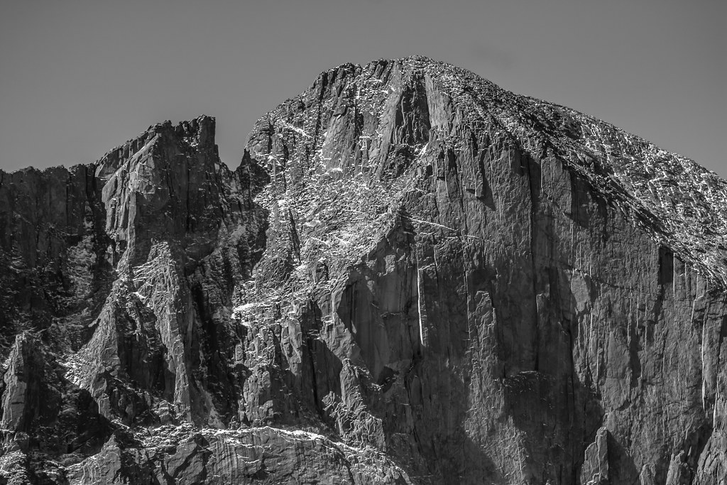 Longs Peak TrailHikingPhoto: markbyzewski, CC BY 2.0 (via Flickr)0.6 mi
 Half & Half CragRock climbingPhoto: Dave Snowden, CC BY-SA 2.0 (via Flickr)2.5 mi
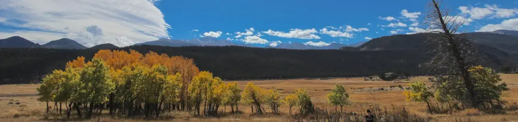 Rocky Mountain National Park Glacier Basin CampgroundCampingPhoto: Recreation.gov (RIDB) / public domain3.9 mi
 North Saint Vrain CreekCanoeingPhoto: Hogs555, CC BY-SA 3.0 (via Wikimedia Commons)7.7 mi
Source: Roamze catalog (indexable pages within 10 miles, PostGIS distance)
Longs Peak TrailHiking · Next doorPhoto: markbyzewski, CC BY 2.0 (via Flickr)Mount MeekerHiking · ~1 min drivePhoto: markbyzewski, CC BY 2.0 (via Flickr)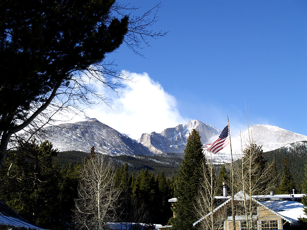 Columbine Ranch - Moore Park TrailHiking · ~1 min drivePhoto: mdowman, CC BY 2.0 (via Flickr)
 Estes Cone TrailHiking · ~1 min drivePhoto: KamenG, CC BY-SA 4.0 (via Wikimedia Commons)
 North Longs Peak TrailHiking · ~4 min drivePhoto: Yssso, CC BY-SA 2.0 (via Flickr)Lily Ridge TrailHiking · ~4 min drivePhoto: KamenG, CC BY-SA 4.0 (via Wikimedia Commons)
 Aspen Brook TrailHiking · ~3 min drivePhoto: lamblukas, CC BY 2.0 (via Flickr)
Best months: May–September. Best months have typical highs of 55–85 °F, lows of 30 °F or warmer (32 °F where the station doesn't record snow), at most one snowy day and no more than 12 wet days.
Jan
32° / 14°
Feb
35° / 15°
Mar
42° / 20°
Apr
46° / 23°
May
56° / 32°
Jun
69° / 38°
Jul
74° / 44°
Aug
73° / 43°
Sep
66° / 36°
Oct
52° / 29°
Nov
41° / 20°
Dec
33° / 14°
Typical high / low (°F) and days with rain or snow, 1991–2020. Measured at Allenspark 3nw, CO, 4.2 mi away at 8,500 ft. The station sits about 1,200 ft lower than this place, so expect it a little cooler here. This station doesn't record snowfall. Source: NOAA NCEI U.S. Climate Normals 1991–2020.
Map and trail data © OpenStreetMap contributors