

Wildcat Mountaineering
Hiking business nearby (~16 mi away) — hasn't claimed their Roamze page yet
1.34-mile out-and-back hike in Colorado with 298 ft gain.
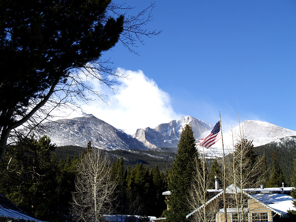 Photo: mdowman, CC BY 2.0 (via Flickr)
Best months: May–September. Best months have typical highs of 55–85 °F, lows of 30 °F or warmer (32 °F where the station doesn't record snow), at most one snowy day and no more than 12 wet days.
Jan
32° / 14°
Feb
35° / 15°
Mar
42° / 20°
Apr
46° / 23°
May
56° / 32°
Jun
69° / 38°
Jul
74° / 44°
Aug
73° / 43°
Sep
66° / 36°
Oct
52° / 29°
Nov
41° / 20°
Dec
33° / 14°
Typical high / low (°F) and days with rain or snow, 1991–2020. Measured at Allenspark 3nw, CO, 4.3 mi away at 8,500 ft. We don't have this place's elevation, so higher spots nearby can run cooler. This station doesn't record snowfall. Source: NOAA NCEI U.S. Climate Normals 1991–2020.
Columbine Ranch - Moore Park Trail is a 1.34-mile out-and-back hike in Colorado with 298 feet of elevation gain. The trail is managed by the National Park Service.
 Photo: KamenG, CC BY-SA 4.0 (via Wikimedia Commons)
Estes Cone Trail
~1 min drive
1.34-mile out-and-back trail in Colorado with 601 ft gain and 10,265 ft max elevation.
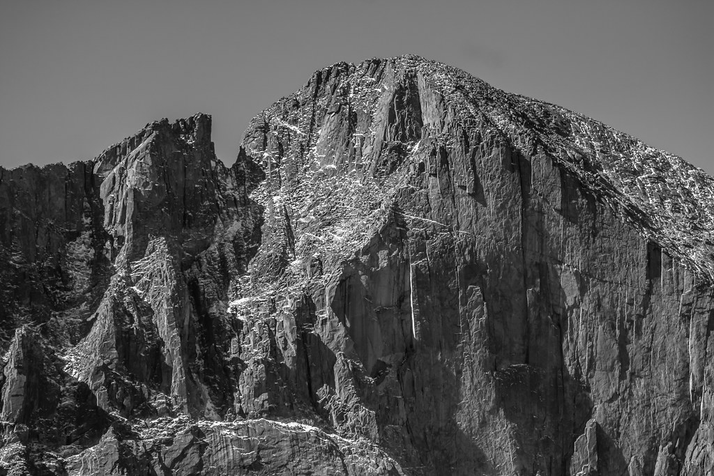 Photo: markbyzewski, CC BY 2.0 (via Flickr)
Longs Peak Trail
~1 min drive
A 13.66-mile out-and-back trail in Colorado that connects to the East Longs Peak Trail system.
Photo: markbyzewski, CC BY 2.0 (via Flickr)Mount Meeker
~1 min drive
Route to the summit of Mount Meeker (13,868 ft) from Longs Peak Trailhead.
Photo: KamenG, CC BY-SA 4.0 (via Wikimedia Commons)Lily Ridge Trail
~3 min drive
1.42-mile out-and-back trail in Colorado with 457 ft elevation gain and loss.
Astronomy in the Park at Park & Ride
~7 min drive
Astronomy in the Park Join us on the east side of Rocky Mountain National Park at Park & Ride Parking Area for an evening under the stars. The program begins at 8:30 p.m. and ends at 11 p.m. Astronomy in the Park will take place on the following days: Friday, June 27 Friday…
 Photo: lamblukas, CC BY 2.0 (via Flickr)
Aspen Brook Trail
~2 min drive
1.80-mile trail in Colorado with 400 ft elevation gain.
Storm Pass Trail
~2 min drive
5.90-mile trail in Colorado with 1,800 ft elevation gain and 11,200 ft max elevation.
 Photo: Yssso, CC BY-SA 2.0 (via Flickr)
North Longs Peak Trail
~5 min drive
11 mi · Expert
Photo: KamenG, CC BY-SA 4.0 (via Wikimedia Commons)Lily Lake Trail
~3 min drive
1.0-mile out-and-back hike at Lily Lake Trail in Colorado with 316 ft gain.
RMNP Shuttle Stop - Bierstadt Trailhead & Parking
~7 min drive
Bierstadt Lake Parking Area and Shuttle Stop are Temporarily Closed Until Further Notice for the Construction of a New Vault Toilet The Park & Ride Shuttle Stop is the closest stop to Bierstadt Trailhead on the Bear Lake Shuttle Route. Park & Ride is located 1.5 miles…
Outfitters and businesses. They haven’t set up their Roamze page yet.
Wildcat Mountaineering
Hiking business nearby (~16 mi away) — hasn't claimed their Roamze page yet
Camp Always Choose Adventures
Hiking business nearby (~33 mi away) — hasn't claimed their Roamze page yet
Alpine Lodge at Red Feather Lakes
Hiking business nearby (~35 mi away) — hasn't claimed their Roamze page yet
