Bushnell Lakes
- 4.9 mi
- round trip
- 2,197 ft
- climb
- 11,188 ft
- high point
- Out and back
- route
Caution today
Agency alerts are in effect for this area; weather is good · USFS, OpenWeather · checked 2 h ago
Is Bushnell Lakes open right now?
Alert in the area
The Forest Service lists 7 alerts for Pike and San Isabel National Forests.
FSR 286, Radical Hill, is closed due to washouts and unsafe conditions
Agency alert covering Pike and San Isabel National Forests · USFS · Pike and San Isabel National Forests
Interlaken Hotel Tree Hazards
Agency alert covering Pike and San Isabel National Forests · USFS · Pike and San Isabel National Forests
Sharpe Fire Update
Agency alert covering Pike and San Isabel National Forests · USFS · Pike and San Isabel National Forests
Turquoise Lake Road (County Road 4) Closure
Agency alert covering Pike and San Isabel National Forests · USFS · Pike and San Isabel National Forests
Food Storage Prohibitions on Pike-San Isabel National Forests
Agency alert covering Pike and San Isabel National Forests · Order 02-12-00-23-07 · USFS · Pike and San Isabel National Forests
As of · Source: USFS · Pike and San Isabel National Forests. Agencies don't list every closure — check before you go.
Bushnell Lakes is a hard hike in Colorado's Sangre de Cristo Wilderness, within the Salida Ranger District of the Pike and San Isabel National Forests. The trail is an out-and-back that climbs from about 9,300 feet to about 11,200 feet, with a total elevation gain of 2,197 feet over roughly 4.9 miles. The Forest Service manages the land, and the route is natural-surfaced and open to horses. The trip runs from June through October, and the trail is closed the rest of the year. Bikes are not allowed. Stout Creek Lakes lies about 1.8 miles away, and the Rainbow Trail and Hayden Creek Campground are each about 2.3 miles off. Coaldale Campground is about 3.1 miles away.
Local outfitters
- Black Bear Retreat7 mi away
- San Luis Valley Campground11 mi away
Not on Roamze yet. Their page has how to reach them.
- Stout Creek LakesHiking1.8 mi
- Rainbow TrailHiking2.3 mi
- Hayden Creek CampgroundCamping2.3 mi
- Coaldale CampgroundCamping3.1 mi
- Black CanyonHiking4.2 mi
- Hunts LakeHiking4.5 mi
 Vallie BridgeCampingPhoto: LeeAnne Adams from Washington, DC, CC BY 2.0 (via Wikimedia Commons)5.4 mi
- CoaldaleRock climbing6.8 mi
Source: Roamze catalog (indexable pages within 10 miles, PostGIS distance)
 Electric PeakHiking · ~18 min drivePhoto: lamblukas, CC BY 2.0 (via Flickr)
- GarnerHiking · ~21 min drivePhoto: lamblukas, CC BY 2.0 (via Flickr)
 Pole Line TrailHiking · ~23 min drivePhoto: Ken Lund from Reno, Nevada, USA, CC BY-SA 2.0 (via Wikimedia Commons)
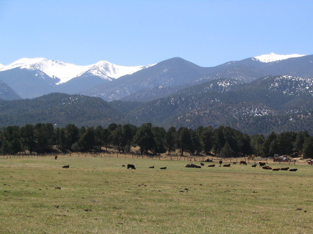 Dream On TrailHiking · ~24 min drivePhoto: Ken Lund, CC BY-SA 2.0 (via Flickr)
- Cottonwood PeakHiking · ~21 min drivePhoto: lamblukas, CC BY 2.0 (via Flickr)
- Black CanyonHiking · ~16 min drive
- Labyrinth TrailHiking · ~24 min drivePhoto: Ken Lund, CC BY-SA 2.0 (via Flickr)
- Chicken Dinner TrailHiking · ~24 min drivePhoto: Ken Lund, CC BY-SA 2.0 (via Flickr)
- Bushnell PeakHiking · ~14 min drive
- Simmons PeakHiking · ~18 min drive
