Simmons Peak
- 11.3 mi
- round trip
- 1,389 ft
- climb
- 10,997 ft
- high point
- Out and back
- route
Is Simmons Peak open right now?
Closure in the area
There's a closure order in Rio Grande National Forest. It doesn't name Simmons Peak, so check the source for the area it covers.
Closures and dangerous conditions on roads, bridges, and trails from flooding
Agency closure covering Rio Grande National Forest · USFS · Rio Grande National Forest
As of · Source: USFS · Rio Grande National Forest. Agencies don't list every closure — check before you go.
Simmons Peak is a hard hike in the Sangre de Cristo Wilderness, part of the Saguache Ranger District of the Rio Grande National Forest in Colorado. The Forest Service manages the land, and the peak sits within designated wilderness. The route is an out-and-back of about 11 miles, with a low point of 9,544 feet and a high of 10,997 feet. The one-way climb gains about 1,389 feet. Horses are allowed, and the trail surface is natural. Bikes are not. For planning, Round Hill is about 1.3 miles away, and the Gutz and Pot O Gold hikes are within 3 miles. Four Seasons RV Park is about 5.7 miles away for an overnight stay.
Local outfitters
- Four Seasons RV Park6 mi away
- Black Bear Retreat9 mi away
Not on Roamze yet. Their page has how to reach them.
- Round HillHiking1.3 mi
- rainbow trailMountain biking2.2 mi
- GutzHiking2.8 mi
- Pot O GoldHiking3.1 mi
 Four Seasons RV ParkCampingPhoto: Ken Lund from Reno, Nevada, USA, CC BY-SA 2.0 (via Wikimedia Commons)5.7 mi
- Salida EastCampingPhoto: Ken Lund from Reno, Nevada, USA, CC BY-SA 2.0 (via Wikimedia Commons)5.7 mi
- Riverside RV ParkCamping5.8 mi
- Ohaver LakePier fishing7 mi
Source: Roamze catalog (indexable pages within 10 miles, PostGIS distance)
 Pole Line TrailHiking · ~10 min drivePhoto: Ken Lund from Reno, Nevada, USA, CC BY-SA 2.0 (via Wikimedia Commons)
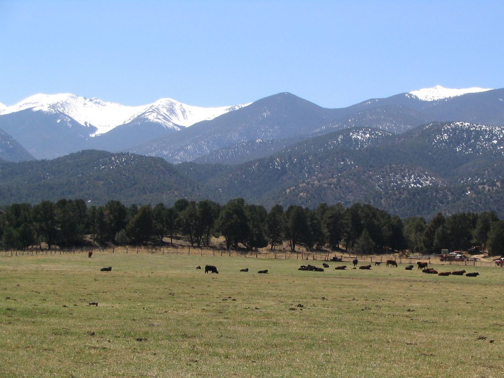 Chicken Dinner TrailHiking · ~11 min drivePhoto: Ken Lund, CC BY-SA 2.0 (via Flickr)
- Bushnell PeakHiking · ~5 min drive
- Labyrinth TrailHiking · ~11 min drivePhoto: Ken Lund, CC BY-SA 2.0 (via Flickr)
- Dream On TrailHiking · ~12 min drivePhoto: Ken Lund, CC BY-SA 2.0 (via Flickr)
- Hunts PeakHiking · ~5 min drive
- GutzHiking · ~5 min drive
- Pot O GoldHiking · ~5 min drive
- Mount OurayHiking · ~11 min drive
- Sol Trail EastHiking · ~7 min drive
