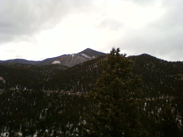
Bull Park Trail
- 2.7 mi
- round trip
- 1,864 ft
- climb
- 11,376 ft
- high point
- Out and back
- route
Is BULL PARK TRAIL open right now?
Alert in the area
The Forest Service lists 11 alerts for Pike and San Isabel National Forests.
FSR 286, Radical Hill, is closed due to washouts and unsafe conditions
Agency alert covering Pike and San Isabel National Forests · USFS · Pike and San Isabel National Forests
Interlaken Hotel Tree Hazards
Agency alert covering Pike and San Isabel National Forests · USFS · Pike and San Isabel National Forests
Sharpe Fire Update
Agency alert covering Pike and San Isabel National Forests · USFS · Pike and San Isabel National Forests
Turquoise Lake Road (County Road 4) Closure
Agency alert covering Pike and San Isabel National Forests · USFS · Pike and San Isabel National Forests
Waldo Canyon Burn Area Closure
Agency alert covering Pikes Peak Ranger District · Order 02-12-09-24-07 · USFS · Pikes Peak Ranger District
As of · Source: USFS · Pike and San Isabel National Forests. Agencies don't list every closure — check before you go.
Bull Park Trail is a 5.4-mile out-and-back hike in Colorado's Pikes Peak Ranger District, part of the Pike and San Isabel National Forests. The trail starts at about 10,777 feet and climbs to a high point of 11,376 feet, with a total elevation gain of 1,864 feet over the round trip. The steepest stretch comes at about 1.9 miles in, where the grade reaches 18 percent. The route is rated moderate, and the Forest Service manages the land. The hike takes about 2.5 hours to complete. The trail is a single route, so plan for the full round trip rather than a one-way outing. The Mason Trail lies just 0.4 miles away, and the Saran Wrap Trail is about 2.8 miles off. For an overnight stay, Wye Campground is roughly 4.6 miles away, and Cripple Creek KOA Kampground is about 5.3 miles away.
Local outfitters
- Broadmoor Outfitters9 mi away
- Gold Belt Tour Scenic and Historic Byway15 mi away
Not on Roamze yet. Their page has how to reach them.
- Mason TrailHiking0.4 mi
- Middle Beaver CreekCanoeing2.7 mi
- SARAN WRAP TRAILHiking2.8 mi
- Wye CampgroundCamping4.6 mi
- Pike's PeakRock climbing5 mi
- Cripple Creek KOA KampgroundCamping5.3 mi
- Saint Peter's OverlookRock climbing5.8 mi
- West Beaver CreekCanoeing6 mi
Source: Roamze catalog (indexable pages within 10 miles, PostGIS distance)
 Mt. ViewHiking · ~8 min drivePhoto: Frans-Banja Mulder, CC BY 3.0 (via Wikimedia Commons)
- Lake MoraineHiking · ~9 min drivePhoto: Frans-Banja Mulder, CC BY 3.0 (via Wikimedia Commons)
 Kineo Mountain TrailHiking · ~9 min drivePhoto: Sack-Sama, CC BY-SA 2.0 (via Flickr)
- Mason TrailHiking · Next door
- Saint Peters DomeHiking · ~10 min drive
 St Mary's Falls AccessHiking · ~10 min drivePhoto: Sack-Sama, CC BY-SA 2.0 (via Flickr)
 Bottomless PitHiking · ~9 min drivePhoto: Wikipedian Kbh3rd, CC BY-SA 3.0 (via Wikimedia Commons)
- Saint Marys FallsHiking · ~10 min drivePhoto: Sack-Sama, CC BY-SA 2.0 (via Flickr)
 Gog and Magog Rocks TrailHiking · ~11 min drivePhoto: markbyzewski, CC BY 2.0 (via Flickr)
 Seven BridgesHiking · ~9 min drivePhoto: Sack-Sama, CC BY-SA 2.0 (via Flickr)