Island Lake Campground
Campground
Campground · 4.0 mi from the trail
Closure in the area
There's a closure order in Grand Mesa, Uncompahgre and Gunnison National Forests. It doesn't name Blue Grouse, so check the source for the area it covers (2 listed).
Gold Mountain Wildfire Roads and Trails Closure Order v 4.0
Agency closure covering Grand Mesa, Uncompahgre and Gunnison National Forests · USFS · Grand Mesa, Uncompahgre and Gunnison National Forests
Ophir Pass Road Closure
Agency closure covering Grand Mesa, Uncompahgre and Gunnison National Forests · USFS · Grand Mesa, Uncompahgre and Gunnison National Forests
Potter Basin Road Closure Order
Agency alert covering Grand Mesa, Uncompahgre and Gunnison National Forests · USFS · Grand Mesa, Uncompahgre and Gunnison National Forests
Beaver Park Road Closure Order
Agency alert covering Grand Mesa, Uncompahgre and Gunnison National Forests · USFS · Grand Mesa, Uncompahgre and Gunnison National Forests
TERMINATION OF ORDER - FIRE RESTRICTIONS
Agency alert covering Grand Mesa, Uncompahgre and Gunnison National Forests · USFS · Grand Mesa, Uncompahgre and Gunnison National Forests
As of · Source: USFS · Grand Mesa, Uncompahgre and Gunnison National Forests. Agencies don't list every closure — check before you go.
Blue Grouse is an out-and-back hike of about 8.7 miles on natural trail in the Grand Valley Ranger District of the Grand Mesa, Uncompahgre and Gunnison National Forests in Colorado. The Forest Service manages the land, and the trail's open season runs from June 1 to October 31. The route gains about 181 feet in elevation over the round trip, with the low point at 8,326 feet and the high at 9,154 feet. Summer is the most comfortable time to go. Typical averages from a nearby weather station at a similar elevation show July highs around 68°F with lows near 42°F, while September cools to highs around 57°F. Winter is cold, with January highs averaging about 26°F. The Bull & Brown (Granby) Trail starts just 0.1 mile away. Mesa Top, a mountain biking area, is about 1.7 miles off. Climbers can find Flowing Park and Bionut Wall, both about 3.4 miles away. Island Lake Campground, about 4 miles away, offers a place to stay.
Island Lake Campground
Campground
Slopeside cafe
Restaurant
 If it rainsJeffrey Beall, CC BY-SA 3.0 · Wikimedia Commons
Places © OpenStreetMap contributors · Photos: Jeffrey Beall, CC BY-SA 3.0 (commons)
More in CliftonNot on Roamze yet. Their page has how to reach them.
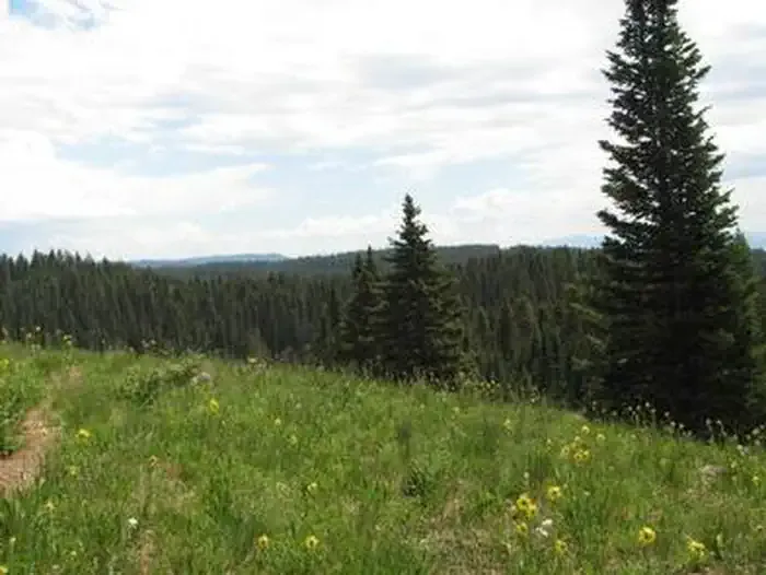 Island Lake CampgroundCampingPhoto: Recreation.gov (RIDB) / public domain4 mi
Source: Roamze catalog (indexable pages within 10 miles, PostGIS distance)
 Skid TrailHiking · ~5 min drivePhoto: KimonBerlin, CC BY-SA 2.0 (via Flickr)
 Palisade PlungeHiking · ~6 min drivePhoto: KimonBerlin, CC BY-SA 2.0 (via Flickr)
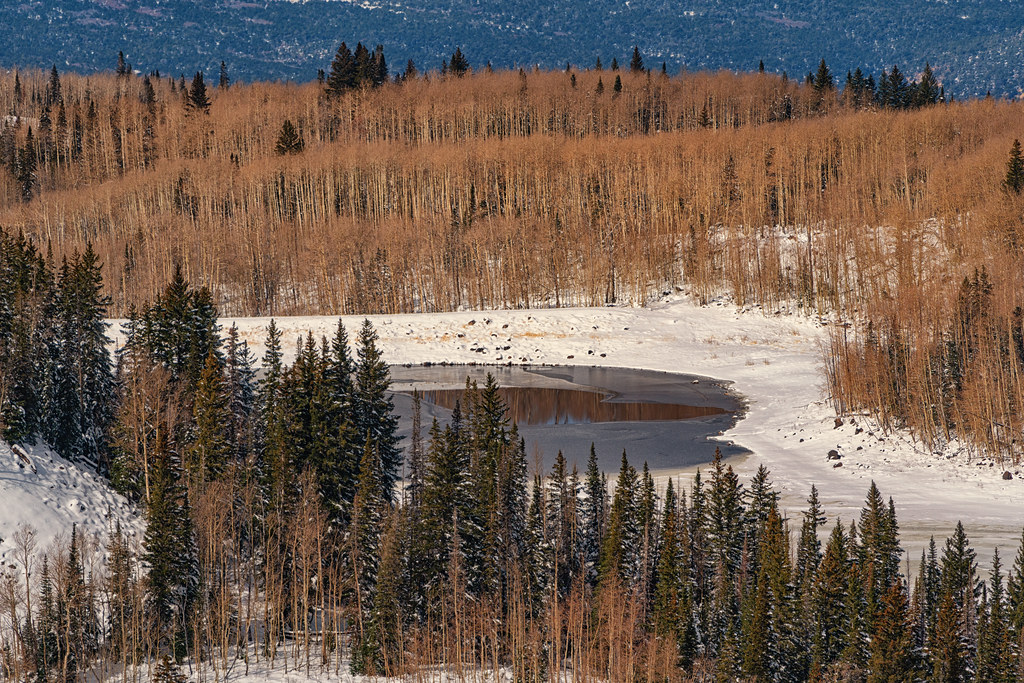 Scales LakeHiking · ~8 min drivePhoto: Tony Webster, CC BY 2.0 (via Flickr)County Line ConnectorHiking · ~6 min drivePhoto: KimonBerlin, CC BY-SA 2.0 (via Flickr)Mesa TopHiking · ~6 min drivePhoto: KimonBerlin, CC BY-SA 2.0 (via Flickr)
 Island LakeHiking · ~9 min drivePhoto: ecksunderscore, CC BY-SA 2.0 (via Flickr)
 Scotland Cutoff TrailHiking · ~6 min drivePhoto: KimonBerlin, CC BY-SA 2.0 (via Flickr)
 Baron LakeHiking · ~9 min drivePhoto: jaygannett, CC BY-SA 2.0 (via Flickr)TraverseHiking · ~7 min drivePhoto: KimonBerlin, CC BY-SA 2.0 (via Flickr)
Best months: June–September. Best months have typical highs of 55–85 °F, lows of 30 °F or warmer (32 °F where the station doesn't record snow), at most one snowy day and no more than 12 wet days.
Jan
26° / 6°
Feb
27° / 4°
Mar
34° / 12°
Apr
40° / 17°
May
49° / 27°
Jun
62° / 37°
Jul
68° / 42°
Aug
64° / 40°
Sep
57° / 34°
Oct
45° / 24°
Nov
34° / 14°
Dec
26° / 5°
Typical high / low (°F) and days with rain or snow, 1991–2020. Measured at Bonham Rsvr, CO, 11.5 mi away at 9,852 ft. The station sits about 700 ft higher than this place, so expect it a little warmer here. This station doesn't record snowfall. Source: NOAA NCEI U.S. Climate Normals 1991–2020.

