

Lostfork Basecamp
Hiking business nearby (~19 mi away) — hasn't claimed their Roamze page yet
Colorado
No account needed. We'll keep it on this device.
2.9 mi
Distance
126 ft
Gain
An agency closure order is in effect for this area; weather is good
2 factors · 2 sources
Newest 22 h ago · oldest 22 h
problem: Agency alerts
56 active alerts in White River National Forest; most severe: Eagle-Thomasville (400), Burnt Mtn (506), plus NFSR 414 and 416 openings delayed to June 16
USFSPosted Jun 13 · checked 22 h ago
clear: Weather
Clouds, high 63°F / low 44°F, 20% precip — 90/100 for hike
OpenWeather22 h ago
Been out here in the last few days? One report keeps this current for everyone.
Why you'll love it
Blair Witch
Suggested plan · check conditions before you go
Want dates, gear and meals worked out too?
Source for bikes, horses, surface: USDA Forest Service National Forest System Trails (EDW)
Blair Witch is a 2.86-mile out-and-back trail in Colorado's White River National Forest with 126 feet of elevation gain. The route reaches a maximum elevation of 9,769 feet.
Source: Roamze elevation profile and trail geometry (DEM samples along the mapped route)
Typical monthly averages (not a forecast) from the Dillon 1 E, CO weather station, 6 mi away. High / low in °F.
Active alerts for White River National Forest as of Oct 9, 2026:
Holy Cross Wilderness, Prohibitions
information · posted Oct 8, 2026
Helicopter operations planned at Chapman Gulch Trailhead near Basalt Oct. 15 or Oct. 16
information · posted Oct 1, 2026
Xcel Energy Helicopter Maintenance Between Basalt and Leadville Through October 11
information · posted Oct 1, 2026
Crystal River Road east of Marble to be closed weekdays Oct. 5-13
caution · posted Sep 28, 2026
White River National Forest lifting fire restrictions on Friday Sept. 25
fire-restriction · posted Sep 23, 2026
FSR 286, Radical Hill, is closed due to washouts and unsafe conditions
caution · posted Sep 21, 2026
Maroon Creek Road open to vehicles
information · posted Sep 18, 2026
Maroon Bells - Snowmass Wilderness, Camping and other rules
information · posted Sep 17, 2026
Water not available at Lowry, Prospector, Windy Point and Marvine Campgrounds
caution · posted Sep 11, 2026
No water for campers at Ruedi Reservoir Campgrounds; Little Maud and Mollie B closed
information · posted Sep 9, 2026
Source: USFS forest alerts
Source: Roamze catalog (indexable pages within 10 miles, PostGIS distance)
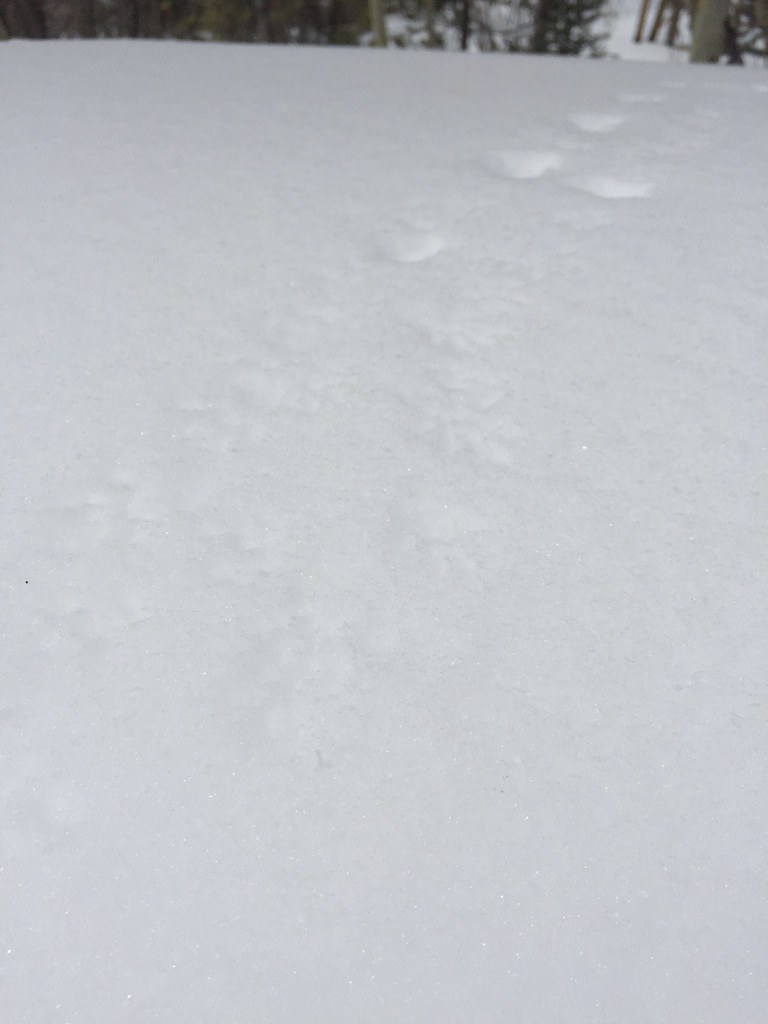 Photo: zappowbang, CC BY-SA 2.0 (via Flickr)
Upper Soda Ridge
~5 min drive
1.9-mile out-and-back trail in Colorado with 583 ft gain and 9,542 ft max elevation.
 Photo: zappowbang, CC BY-SA 2.0 (via Flickr)
Soda Ridge Trail
~5 min drive
3.37-mile out-and-back trail in Colorado's White River National Forest with 150 ft gain.
Preston Way
~5 min drive
0.8-mile out-and-back trail in Colorado with 67 ft of elevation gain.
Ophir Mountain
~4 min drive
11.64-mile out-and-back trail in Colorado's White River National Forest with 817 ft of elevation gain.
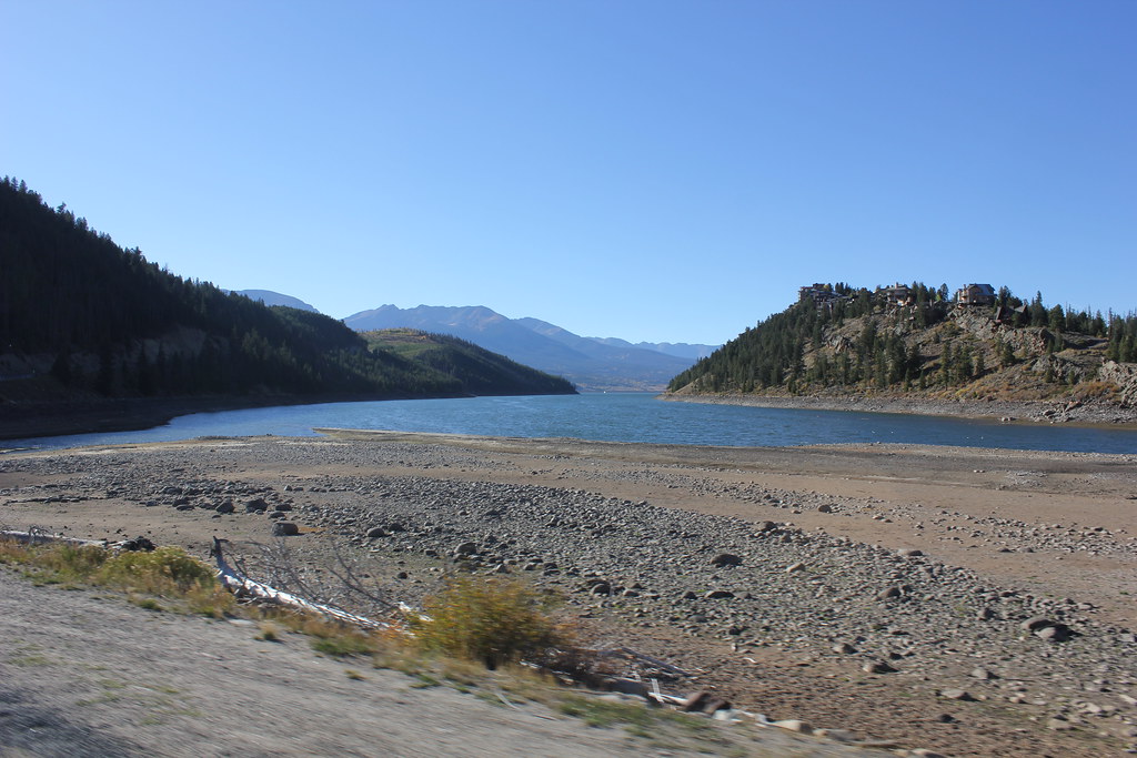 Photo: TexasExplorer98, CC BY 2.0 (via Flickr)
Fallen Soldier
~5 min drive
1.4-mile out-and-back trail in Colorado's White River National Forest with 132 ft of elevation gain.
Campion
~2 min drive
5.49-mile out-and-back trail in Colorado at 10,105 ft elevation.
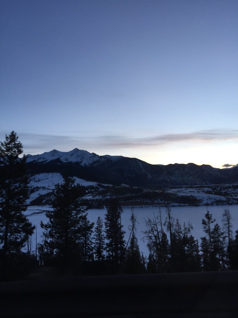 Photo: zappowbang, CC BY-SA 2.0 (via Flickr)
Summit Hs Connect
~5 min drive
0.65-mile out-and-back trail in Colorado's White River National Forest with 6 ft of elevation gain.
Galena Ditch
~3 min drive
4.60-mile out-and-back trail in Colorado managed by White River National Forest.
Blair Witch via Horseshoe Gulch Loop
~1 min drive
Scenic 4.3-mile loop combining forest and meadow near Breckenridge.
Red
~3 min drive
5.60-mile out-and-back trail in Colorado with 50 ft of elevation gain.
Local operatorsoffering guided trips. You book directly with them — Roamze doesn’t take a cut.
Lostfork Basecamp
Hiking business nearby (~19 mi away) — hasn't claimed their Roamze page yet
Camp Always Choose Adventures
Hiking business nearby (~30 mi away) — hasn't claimed their Roamze page yet
Rancho Del Rio
Hiking business nearby (~40 mi away) — hasn't claimed their Roamze page yet
