Tiger Run RV Resort
Campground
Campground · 0.6 mi from the trail
Alert in the area
The Forest Service lists 6 alerts for White River National Forest.
FSR 286, Radical Hill, is closed due to washouts and unsafe conditions
Agency alert covering White River National Forest · USFS · White River National Forest
Limited parking at Snowmass Creek Trailhead
Agency alert covering White River National Forest · USFS · White River National Forest
Grizzly Creek Trail Closure
Agency alert covering White River National Forest · Order 2026-02 · USFS · White River National Forest
Ruedi Marina Day Use area Dump Station is CLOSED
Agency alert covering White River National Forest · USFS · White River National Forest
Asbestos safety closure - Camp Hale
Agency alert covering White River National Forest · USFS · White River National Forest
As of · Source: USFS · White River National Forest. Agencies don't list every closure — check before you go.
Ophir Mountain is a hard hike of about 11.6 miles in the Dillon Ranger District of Colorado's White River National Forest, managed by the Forest Service. The trail runs out and back, rising from a low of about 9,300 feet to a high of about 10,176 feet with a total climb of roughly 817 feet. Summer is the most comfortable time to go. A nearby weather station at Dillon records typical average July highs around 75°F and lows near 38°F, while temperatures on the mountain run cooler. Horses are allowed on this natural-surfaced trail. Close by, the Colorado Trail (Segment 6) and the Gold Hill mountain biking area sit within a mile. Peak One Campground and the Swan River are both about 3 miles away.
Tiger Run RV Resort
Campground
 If it rainsJeremy Olson, CC BY-SA 4.0 · Wikimedia Commons
Places © OpenStreetMap contributors · Photos: Jeremy Olson, CC BY-SA 4.0 (commons)
More in LeadvilleBest months: June–July. Best months have typical highs of 55–85 °F, lows of 30 °F or warmer (32 °F where the station doesn't record snow), at most one snowy day and no more than 12 wet days.
Jan
31° / 1°
12 wet
Feb
33° / 4°
11 wet
Mar
41° / 10°
11 wet
Apr
47° / 18°
11 wet
May
58° / 26°
10 wet
Jun
69° / 33°
9 wet
Jul
75° / 38°
12 wet
Aug
73° / 37°
13 wet
Sep
66° / 30°
10 wet
Oct
54° / 21°
8 wet
Nov
41° / 11°
9 wet
Dec
32° / 3°
11 wet
Typical high / low (°F) and days with rain or snow, 1991–2020. Measured at Dillon 1 E, CO, 5.6 mi away at 9,065 ft. The station sits about 1,100 ft lower than this place, so expect it a little cooler here. This station doesn't record snowfall. Source: NOAA NCEI U.S. Climate Normals 1991–2020.
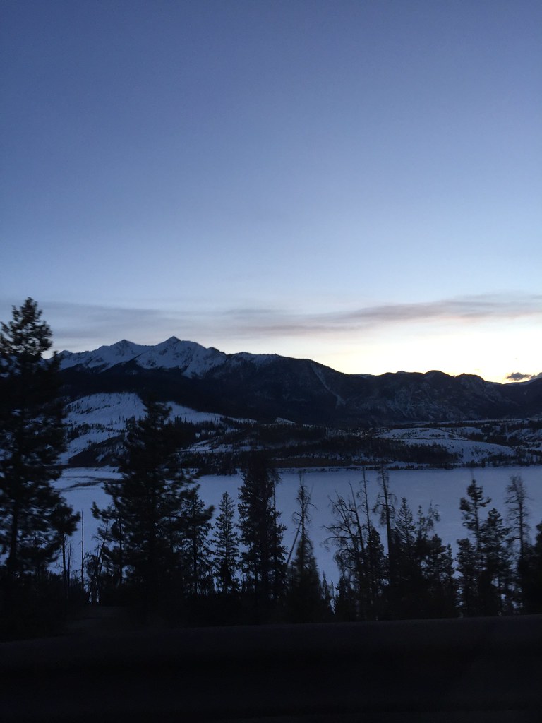 Photo: zappowbang, CC BY-SA 2.0 (via Flickr)
Summit Hs Connect
~3 min drive
0.65-mile out-and-back trail in Colorado's White River National Forest with 6 ft of elevation gain.
Photo: zappowbang, CC BY-SA 2.0 (via Flickr)Frisco - Breckenridge Rec Path
~3 min drive
11.30-mile out-and-back trail from Frisco to Breckenridge with 422 ft gain.
 Photo: christinejwarner, CC BY 2.0 (via Flickr)
Gifford Pinchot
~3 min drive
4.37-mile out-and-back trail in Colorado's White River National Forest with 864 ft gain.
Photo: zappowbang, CC BY-SA 2.0 (via Flickr)Trail near Ophir Mountain
~3 min drive
0.44-mile out-and-back trail near Ophir Mountain in Colorado with 144 ft elevation gain.
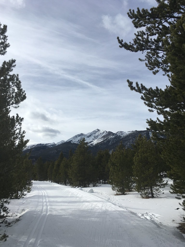 Photo: christinejwarner, CC BY 2.0 (via Flickr)
Trail near Ophir Mountain
~4 min drive
3.61-mile out-and-back hike near Ophir Mountain, Colorado with 1,388 ft gain.
HIKE
Trail near Ophir Mountain
Next door
2.77-mile out-and-back trail near Ophir Mountain with 600 ft gain.
Photo: christinejwarner, CC BY 2.0 (via Flickr)Lakeshore Perimeter
~4 min drive
10.55-mile out-and-back trail in Colorado with 16 ft elevation gain
HIKE
Hippo
~3 min drive
4.26-mile out-and-back trail in Colorado with 463 ft gain.
HIKE
Robert Foote
~4 min drive
3.11-mile out-and-back trail in Colorado with 548 ft gain and 9,946 ft max elevation.
 Photo: supercraigtalbert, CC BY 2.0 (via Flickr)
Jody's East
~4 min drive
1.97-mile out-and-back trail in Colorado's White River National Forest with 102 ft gain.
Map and trail data © OpenStreetMap contributors


