Amphitheater (co)
Campground
Campground · 3.3 mi from the trail
Closure in the area
There's a closure order in Grand Mesa, Uncompahgre and Gunnison National Forests. It doesn't name Bear Creek Trail, so check the source for the area it covers (2 listed).
Gold Mountain Wildfire Roads and Trails Closure Order v 4.0
Agency closure covering Grand Mesa, Uncompahgre and Gunnison National Forests · USFS · Grand Mesa, Uncompahgre and Gunnison National Forests
Ophir Pass Road Closure
Agency closure covering Grand Mesa, Uncompahgre and Gunnison National Forests · USFS · Grand Mesa, Uncompahgre and Gunnison National Forests
Potter Basin Road Closure Order
Agency alert covering Grand Mesa, Uncompahgre and Gunnison National Forests · USFS · Grand Mesa, Uncompahgre and Gunnison National Forests
Beaver Park Road Closure Order
Agency alert covering Grand Mesa, Uncompahgre and Gunnison National Forests · USFS · Grand Mesa, Uncompahgre and Gunnison National Forests
TERMINATION OF ORDER - FIRE RESTRICTIONS
Agency alert covering Grand Mesa, Uncompahgre and Gunnison National Forests · USFS · Grand Mesa, Uncompahgre and Gunnison National Forests
As of · Source: USFS · Grand Mesa, Uncompahgre and Gunnison National Forests. Agencies don't list every closure — check before you go.
Bear Creek Trail is a 6.6-mile lollipop loop located in Colorado near Ouray, managed by the USFS Ouray Ranger District. The trail combines an out-and-back section with a circular loop, offering varied terrain and scenery throughout the hike. This moderate-distance route is ideal for hikers seeking a full day of exploration in the Ouray area. The lollipop design allows hikers to experience different sections of the landscape, with the initial stem leading to a scenic loop that creates natural viewing opportunities and varied hiking experiences. The trail is maintained by the USFS Ouray Ranger District, ensuring regular upkeep and safety standards. The region around Ouray offers stunning Colorado mountain terrain typical of the San Juan Mountains. Hikers should come prepared for Colorado's variable weather and high-altitude conditions. For the most current information about trail conditions, water availability, and any seasonal closures, contact the USFS Ouray Ranger District directly before planning your visit.
Amphitheater (co)
Campground
Red Mountain Brewing
Restaurant
Smuggler Union Tramhouse
Attraction
Places © OpenStreetMap contributors
More in TellurideNot on Roamze yet. Their page has how to reach them.
 Technicolor Wall aka Techno CragRock climbingPhoto: iagoarchangel, CC BY-SA 2.0 (via Flickr)2.5 mi
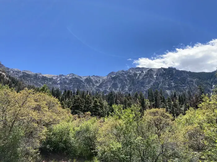 Amphitheater (co)CampingPhoto: Recreation.gov (RIDB) / public domain3.3 mi
 Henson CreekCanoeingPhoto: Jeffrey Beall, CC BY 4.0 (via Wikimedia Commons)9.2 mi
Source: Roamze catalog (indexable pages within 10 miles, PostGIS distance)
 Bear Creek South Fork Trail (242)Hiking · ~3 min drivePhoto: WKHarmon, CC BY 2.0 (via Flickr)
 Lower Cascade Falls TrailHiking · ~6 min drivePhoto: lamblukas, CC BY 2.0 (via Flickr)
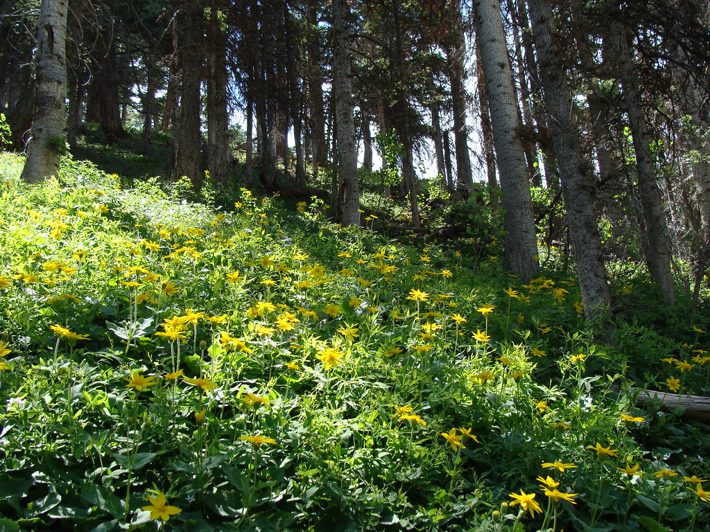 Horsethief TrialHiking · ~9 min drivePhoto: iagoarchangel, CC BY-SA 2.0 (via Flickr)
 Jones MountainHiking · ~9 min drivePhoto: mjhbower, CC BY-SA 2.0 (via Flickr)
 Portland TrailHiking · ~5 min drivePhoto: Luis in Denver, CC BY 2.0 (via Flickr)
 Dexter CreekHiking · ~9 min drivePhoto: iagoarchangel, CC BY-SA 2.0 (via Flickr)Houghton MountainHiking · ~9 min drivePhoto: mjhbower, CC BY-SA 2.0 (via Flickr)
 Seigal MountainHiking · ~9 min drivePhoto: mjhbower, CC BY-SA 2.0 (via Flickr)
 Engineer Mountain TrailHiking · ~5 min drivePhoto: WKHarmon, CC BY 2.0 (via Flickr)
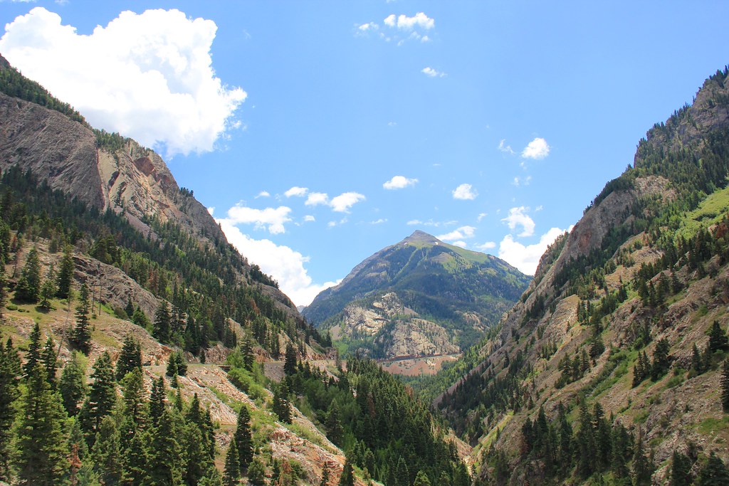 Beaver/Belfast Mine TrailHiking · ~9 min drivePhoto: daveynin, CC BY 2.0 (via Flickr)
Also worth it near here
 Bear Creek-South ForkMountain biking · ~1 min drivePhoto: robert thigpen from diboll, texas, CC BY-SA 2.0 (via Wikimedia Commons)
 Darley MountainSummit · ~3 min drivePhoto: JohnHirth, CC BY-SA 3.0 (via Wikimedia Commons)Technicolor Wall aka Techno CragRock climbing · ~4 min drivePhoto: iagoarchangel, CC BY-SA 2.0 (via Flickr)
Map and trail data © OpenStreetMap contributors
