Animas Forks Camp
Campground
Campground · 3.4 mi from the trail
 Photo: WKHarmon, CC BY 2.0 (via Flickr)
Bear Creek South Fork Trail (242) is a short out-and-back hike on Bureau of Land Management land in Colorado's Gunnison Field Office. It covers about 1.7 miles round trip, with a total elevation gain and loss of roughly 970 feet, and it is rated moderate. The trail starts near 12,875 feet and climbs to a high point of about 12,897 feet before returning. The steepest stretch comes early, with a grade of about 36% at the 0.13-mile mark. That makes the first few hundred yards the most demanding part of the hike. The hike takes about an hour to complete, so it works well as a quick outing. For more time on foot, the Engineer Mountain Trail lies about 1.4 miles away. Mountain bikers can head to the Bear Creek-South Fork trail, about 1.1 miles off. Climbers will find The Secret Stash about 2.9 miles away, and Amphitheatre Campground offers a place to stay about 5 miles from the trail.
Animas Forks Camp
Campground
Red Mountain Brewing
Restaurant
Smuggler Union Tramhouse
Attraction
Places © OpenStreetMap contributors
More in TellurideNot on Roamze yet. Their page has how to reach them.
 Bear Creek-South ForkMountain bikingPhoto: robert thigpen from diboll, texas, CC BY-SA 2.0 (via Wikimedia Commons)1.1 mi
 Engineer Mountain TrailHikingPhoto: WKHarmon, CC BY 2.0 (via Flickr)1.4 mi
 Technicolor Wall aka Techno CragRock climbingPhoto: iagoarchangel, CC BY-SA 2.0 (via Flickr)3.3 mi
 Henson CreekCanoeingPhoto: Jeffrey Beall, CC BY 4.0 (via Wikimedia Commons)8.4 mi
Source: Roamze catalog (indexable pages within 10 miles, PostGIS distance)
Engineer Mountain TrailHiking · ~2 min drivePhoto: WKHarmon, CC BY 2.0 (via Flickr) Engineer MountainHiking · ~6 min drivePhoto: mjhbower, CC BY-SA 2.0 (via Flickr)
 Tuttle MountainHiking · ~6 min drivePhoto: mjhbower, CC BY-SA 2.0 (via Flickr)
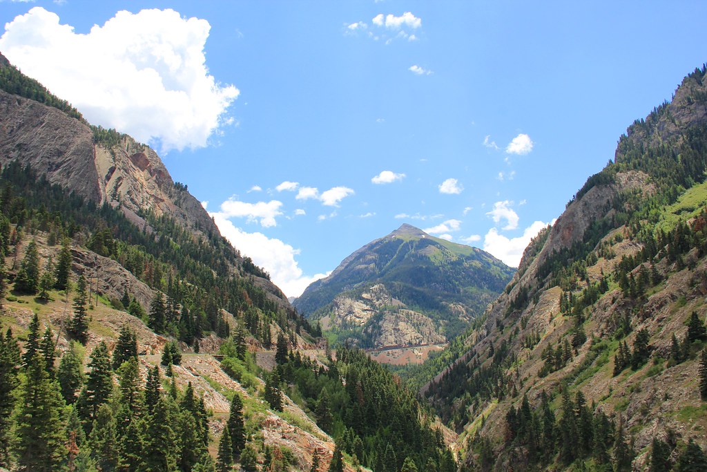 Beaver/Belfast Mine TrailHiking · ~9 min drivePhoto: daveynin, CC BY 2.0 (via Flickr)
 Albany Loop TrailHiking · ~7 min drivePhoto: Sandy Horvath-Dori from Grand Junction, CO, USA, CC BY 2.0 (via Wikimedia Commons)Seigal MountainHiking · ~6 min drivePhoto: mjhbower, CC BY-SA 2.0 (via Flickr)
 California MountainHiking · ~6 min drivePhoto: mjhbower, CC BY-SA 2.0 (via Flickr)
 Lower Cascade Falls TrailHiking · ~9 min drivePhoto: lamblukas, CC BY 2.0 (via Flickr)
 Portland TrailHiking · ~8 min drivePhoto: Luis in Denver, CC BY 2.0 (via Flickr)Jones MountainHiking · ~6 min drivePhoto: mjhbower, CC BY-SA 2.0 (via Flickr)
Map and trail data © OpenStreetMap contributors
