Fault Line 1
- Apr–May, Sep–Oct
- best months
- At 4,396 ft
- Black Ridge Canyons WildernessGrand Junction Field Office
Fault Line 1 is a Bureau of Land Management campground in the Black Ridge Canyons Wilderness, within the Grand Junction Field Office of the BLM in western Colorado. It sits inside designated wilderness, which sets it apart as a backcountry base rather than a developed recreation area. Spring and fall are the most comfortable times to visit. Typical averages from the nearby Fruita weather station show May highs around 78°F and October highs around 69°F, while July averages climb to about 95°F. Fault Line 2 lies just 0.3 miles away, and Salt Creek 1 and Salt Creek 2 are each about 0.9 miles off. The Rabbit Ears Trail is roughly 1.9 miles away for a hike.
Local outfitters
- Canyon View RV Resort18 mi away
- RV Ranch at Grand Junction27 mi away
Not on Roamze yet. Their page has how to reach them.
- Fault Line 2Camping0.3 mi
 Salt Creek 1CampingPhoto: Missvain, CC BY 4.0 (via Wikimedia Commons)0.9 mi
- Salt Creek 2CampingPhoto: Missvain, CC BY 4.0 (via Wikimedia Commons)0.9 mi
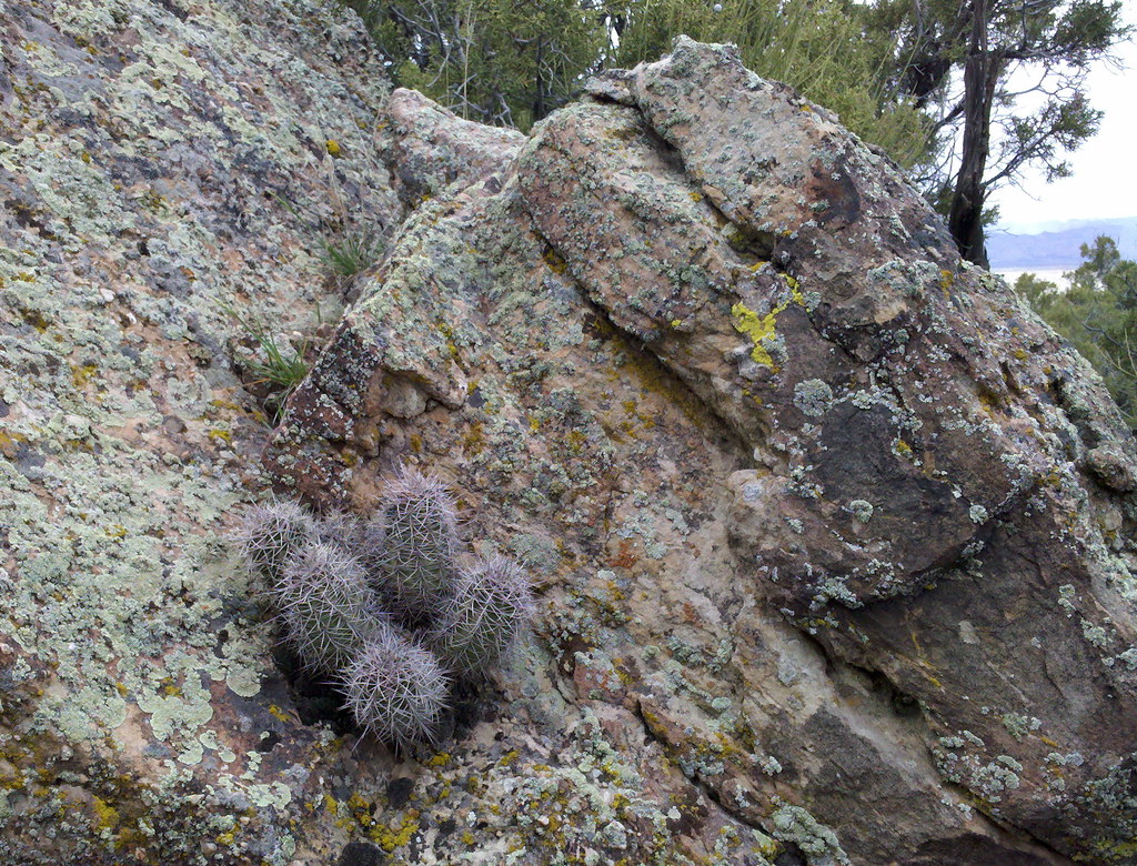 Rabbit Ears TrailHikingPhoto: iagoarchangel, CC BY-SA 2.0 (via Flickr)1.9 mi
 KokopelliMountain bikingPhoto: Vadim Manuylov, CC BY-SA 3.0 (via Wikimedia Commons)2 mi
 Mouth of Mee Canyon AreaRock climbingPhoto: sarahstierch, CC BY 2.0 (via Flickr)2.7 mi
- Mee CanyonRock climbing3.3 mi
- Reed WashCanoeing7.1 mi
Source: Roamze catalog (indexable pages within 10 miles, PostGIS distance)
- Salt Creek 1Camping · ~2 min drivePhoto: Missvain, CC BY 4.0 (via Wikimedia Commons)
- Salt Creek 2Camping · ~2 min drivePhoto: Missvain, CC BY 4.0 (via Wikimedia Commons)
 Mee CornerCamping · ~3 min drivePhoto: Loco Steve, CC BY 3.0 (via Wikimedia Commons)
 Cottonwood 4Camping · ~4 min drivePhoto: Figure8, CC BY-SA 3.0 (via Wikimedia Commons)
- Cottonwood 2Camping · ~4 min drivePhoto: Figure8, CC BY-SA 3.0 (via Wikimedia Commons)
- BanjoCamping · ~4 min drivePhoto: Figure8, CC BY-SA 3.0 (via Wikimedia Commons)
- Dog IslandCamping · ~6 min drivePhoto: Missvain, CC BY 4.0 (via Wikimedia Commons)
 Beaver Tail 2Camping · ~7 min drivePhoto: jimmy thomas from Seattle, CC BY-SA 2.0 (via Wikimedia Commons)
- Beaver Tail 1Camping · ~7 min drivePhoto: jimmy thomas from Seattle, CC BY-SA 2.0 (via Wikimedia Commons)
- Black Rocks 1Camping · ~7 min drivePhoto: Loco Steve, CC BY 3.0 (via Wikimedia Commons)
Also worth it near here
- Rabbit Ears TrailHiking · ~3 min drivePhoto: iagoarchangel, CC BY-SA 2.0 (via Flickr)
- KokopelliMountain biking · ~3 min drivePhoto: Vadim Manuylov, CC BY-SA 3.0 (via Wikimedia Commons)
- Mouth of Mee Canyon AreaRock climbing · ~5 min drivePhoto: sarahstierch, CC BY 2.0 (via Flickr)
- 6 and 50 ReservoirLake fishing · ~6 min drive
- Will Minor ArchNatural arch · ~8 min drive
Best time to visit Fault Line 1
Best months: April–May and September–October. Best months have typical highs of 55–85 °F, lows of 30 °F or warmer (32 °F where the station doesn't record snow), at most one snowy day and no more than 12 wet days.
Jan
39° / 15°
5 wet
Feb
47° / 21°
5 wet
Mar
59° / 29°
6 wet
Apr
67° / 35°
5 wet
May
78° / 45°
5 wet
Jun
89° / 52°
3 wet
Jul
95° / 60°
4 wet
Aug
91° / 58°
5 wet
Sep
83° / 48°
5 wet
Oct
69° / 36°
5 wet
Nov
54° / 25°
5 wet
Dec
40° / 16°
5 wet
Typical high / low (°F) and days with rain or snow, 1991–2020. Measured at Fruita, CO, 11.6 mi away at 4,498 ft. This station doesn't record snowfall. Source: NOAA NCEI U.S. Climate Normals 1991–2020.
Map and trail data © OpenStreetMap contributors
