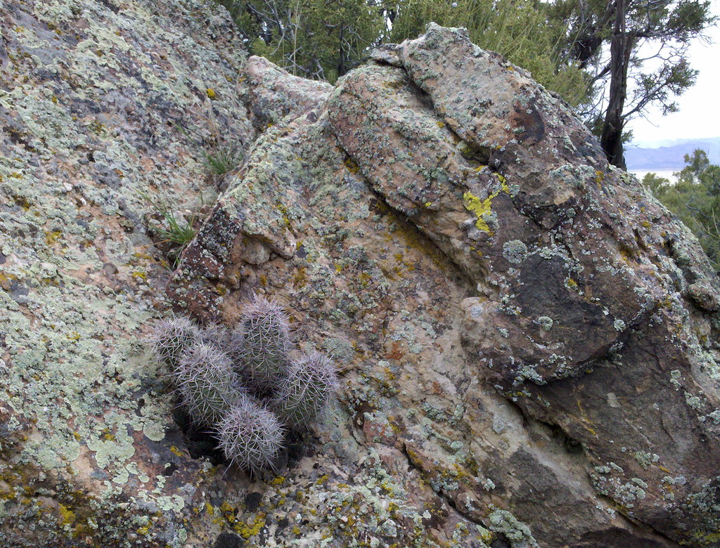
Cottonwood 4
Campground
Campground · < 0.1 mi from the trail
 Photo: Figure8, CC BY-SA 3.0 (via Wikimedia Commons)
Cottonwood 4 is a Bureau of Land Management campground in the Black Ridge Canyons Wilderness, within the Grand Junction Field Office of the BLM in western Colorado. It sits among a cluster of numbered Cottonwood campgrounds, with Cottonwood 3 and Cottonwood 5 each about 0.1 mile away. Spring and fall are the most comfortable times to visit. Typical averages from the nearby Fruita weather station show May highs around 78°F and October highs around 69°F, while July averages climb to about 95°F. The Troy Built Trail and Lions Loop Trail are both within a mile, and the Government Cheese Area climbing spot is about 3.4 miles off.
Cottonwood 4
Campground
Wienerschnitzel
Fast food
 If it rainsJeffrey Beall, CC BY-SA 3.0 · Wikimedia Commons
Places © OpenStreetMap contributors · Photos: Jeffrey Beall, CC BY-SA 3.0 (commons)
More in CliftonNot on Roamze yet. Their page has how to reach them.
Best months: April–May and September–October. Best months have typical highs of 55–85 °F, lows of 30 °F or warmer (32 °F where the station doesn't record snow), at most one snowy day and no more than 12 wet days.
Jan
39° / 15°
5 wet
Feb
47° / 21°
5 wet
Mar
59° / 29°
6 wet
Apr
67° / 35°
5 wet
May
78° / 45°
5 wet
Jun
89° / 52°
3 wet
Jul
95° / 60°
4 wet
Aug
91° / 58°
5 wet
Sep
83° / 48°
5 wet
Oct
69° / 36°
5 wet
Nov
54° / 25°
5 wet
Dec
40° / 16°
5 wet
Typical high / low (°F) and days with rain or snow, 1991–2020. Measured at Fruita, CO, 9.5 mi away at 4,498 ft. This station doesn't record snowfall. Source: NOAA NCEI U.S. Climate Normals 1991–2020.
Photo: Figure8, CC BY-SA 3.0 (via Wikimedia Commons)Cottonwood 2
Next door
Cottonwood-shaded Colorado campground ideal for fishing and high country recreation.
Photo: Figure8, CC BY-SA 3.0 (via Wikimedia Commons)Banjo
Next door
Rustic Colorado campground with primitive sites and backcountry access.
 Photo: Missvain, CC BY 4.0 (via Wikimedia Commons)
Salt Creek 1
~2 min drive
Rustic Colorado campground offering primitive camping in the scenic Salt Creek area.
Photo: Missvain, CC BY 4.0 (via Wikimedia Commons)Salt Creek 2
~2 min drive
Primitive creek-side campground offering first-come, first-served camping in Colorado.
 Photo: jimmy thomas from Seattle, CC BY-SA 2.0 (via Wikimedia Commons)
Beaver Tail 2
~4 min drive
Primitive first-come campground in Colorado's natural landscape.
Photo: jimmy thomas from Seattle, CC BY-SA 2.0 (via Wikimedia Commons)Beaver Tail 1
~4 min drive
Primitive Colorado campground with first-come availability in a scenic natural setting.
Photo: jimmy thomas from Seattle, CC BY-SA 2.0 (via Wikimedia Commons)Rattlesnake
~4 min drive
Rustic Colorado campground with easy access to hiking and outdoor recreation.
 Photo: Loco Steve, CC BY 3.0 (via Wikimedia Commons)
Mee Corner
~6 min drive
Rustic, first-come Colorado campground for outdoor recreation and scenic camping.
Photo: Missvain, CC BY 4.0 (via Wikimedia Commons)Dog Island
~9 min drive
Island campground in Colorado with tent and RV sites for water recreation access.
Photo: Loco Steve, CC BY 3.0 (via Wikimedia Commons)Black Rocks 1
~10 min drive
Primitive Colorado campground nestled among dramatic rock formations.
Map and trail data © OpenStreetMap contributors