Banjo
Campground
Campground · < 0.1 mi from the trail
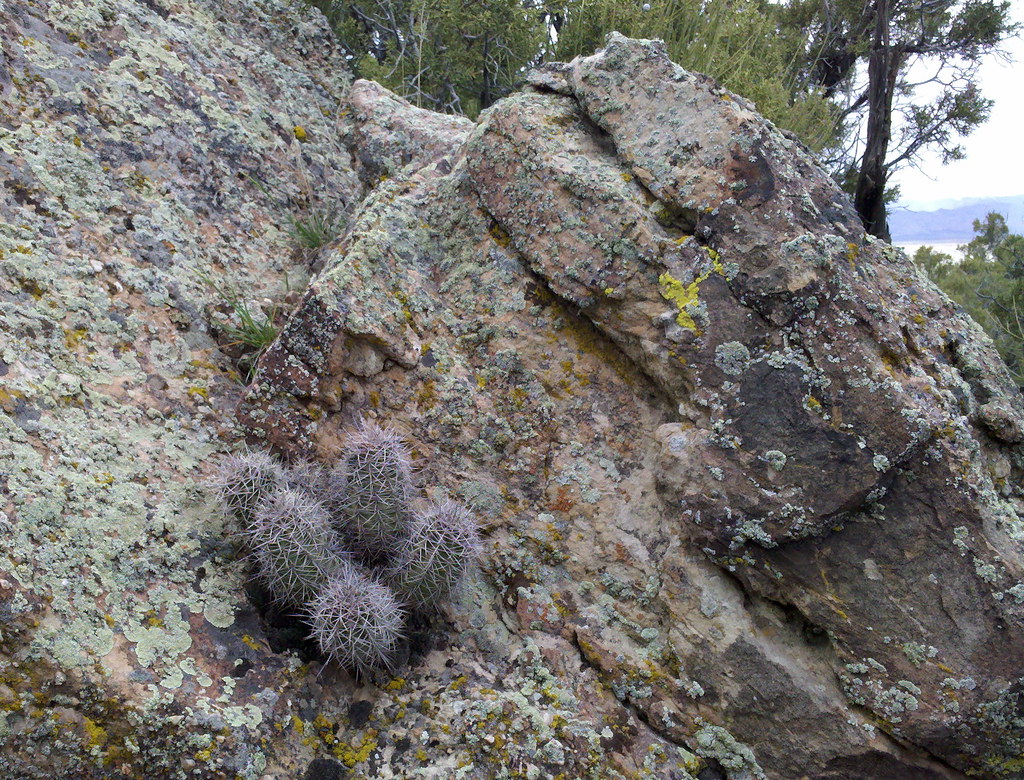
 Photo: Figure8, CC BY-SA 3.0 (via Wikimedia Commons)
Banjo is a Bureau of Land Management campground in Colorado's Black Ridge Canyons Wilderness, within the Grand Junction Field Office. It sits in designated wilderness, and the surrounding land is managed by the BLM. The most comfortable months for a visit are typically May and September. Typical averages from the nearby Fruita weather station show May highs around 78°F and September highs around 83°F, while July averages climb to about 95°F. Several other campgrounds lie close by, including Cottonwood 1 and Cottonwood 2, each about 0.2 miles away. Mountain bikers can head to Lion's and Steve's Loop, both about 0.7 miles off.
Banjo
Campground
Wienerschnitzel
Fast food
 If it rainsJeffrey Beall, CC BY-SA 3.0 · Wikimedia Commons
Places © OpenStreetMap contributors · Photos: Jeffrey Beall, CC BY-SA 3.0 (commons)
More in CliftonNot on Roamze yet. Their page has how to reach them.
Best months: April–May and September–October. Best months have typical highs of 55–85 °F, lows of 30 °F or warmer (32 °F where the station doesn't record snow), at most one snowy day and no more than 12 wet days.
Jan
39° / 15°
5 wet
Feb
47° / 21°
5 wet
Mar
59° / 29°
6 wet
Apr
67° / 35°
5 wet
May
78° / 45°
5 wet
Jun
89° / 52°
3 wet
Jul
95° / 60°
4 wet
Aug
91° / 58°
5 wet
Sep
83° / 48°
5 wet
Oct
69° / 36°
5 wet
Nov
54° / 25°
5 wet
Dec
40° / 16°
5 wet
Typical high / low (°F) and days with rain or snow, 1991–2020. Measured at Fruita, CO, 9.1 mi away at 4,498 ft. This station doesn't record snowfall. Source: NOAA NCEI U.S. Climate Normals 1991–2020.
Photo: Figure8, CC BY-SA 3.0 (via Wikimedia Commons)Cottonwood 2
Next door
Cottonwood-shaded Colorado campground ideal for fishing and high country recreation.
Photo: Figure8, CC BY-SA 3.0 (via Wikimedia Commons)Cottonwood 4
Next door
Rustic Colorado campground in a scenic cottonwood setting for outdoor recreation.
 Photo: Missvain, CC BY 4.0 (via Wikimedia Commons)
Salt Creek 1
~3 min drive
Rustic Colorado campground offering primitive camping in the scenic Salt Creek area.
Photo: Missvain, CC BY 4.0 (via Wikimedia Commons)Salt Creek 2
~3 min drive
Primitive creek-side campground offering first-come, first-served camping in Colorado.
 Photo: jimmy thomas from Seattle, CC BY-SA 2.0 (via Wikimedia Commons)
Beaver Tail 2
~3 min drive
Primitive first-come campground in Colorado's natural landscape.
Photo: jimmy thomas from Seattle, CC BY-SA 2.0 (via Wikimedia Commons)Beaver Tail 1
~3 min drive
Primitive Colorado campground with first-come availability in a scenic natural setting.
Photo: jimmy thomas from Seattle, CC BY-SA 2.0 (via Wikimedia Commons)Rattlesnake
~4 min drive
Rustic Colorado campground with easy access to hiking and outdoor recreation.
 Photo: Loco Steve, CC BY 3.0 (via Wikimedia Commons)
Mee Corner
~7 min drive
Rustic, first-come Colorado campground for outdoor recreation and scenic camping.
Photo: Missvain, CC BY 4.0 (via Wikimedia Commons)Dog Island
~9 min drive
Island campground in Colorado with tent and RV sites for water recreation access.
Photo: Loco Steve, CC BY 3.0 (via Wikimedia Commons)Black Rocks 1
~10 min drive
Primitive Colorado campground nestled among dramatic rock formations.
Map and trail data © OpenStreetMap contributors