Backcountry Site 6
- May–Oct
- best months
Is Backcountry Site 6 open right now?
Alert in the area
The Forest Service lists 4 alerts for Canyon Lakes Ranger District.
Salt Cabin Prescribed (RX) Fire Closure
Agency alert covering Canyon Lakes Ranger District · Order 02-10-05-26-11 · USFS · Canyon Lakes Ranger District
Fire Restrictions
Agency alert covering Arapaho and Roosevelt National Forests · USFS · Arapaho and Roosevelt National Forests
West Crystal A - Mechanical Fuelbreak Area and Road Closure
Agency alert covering Canyon Lakes Ranger District · Order 02-10-05-26-04 · USFS · Canyon Lakes Ranger District
Cameron Peak Fire Road Closures
Agency alert covering Canyon Lakes Ranger District · Order 02-10-05-26-01 · USFS · Canyon Lakes Ranger District
As of · Source: USFS · Canyon Lakes Ranger District. Agencies don't list every closure — check before you go.
- At 6,700 ft
- Canyon Lakes Ranger DistrictLory State Park · Arapaho and Roosevelt National Forests
Backcountry Site 6 is a campground in Colorado at about 6,700 feet. It is managed by the state fish and wildlife agency.
 Westridge TrailHikingPhoto: KimonBerlin, CC BY-SA 2.0 (via Wikimedia Commons)0.1 mi
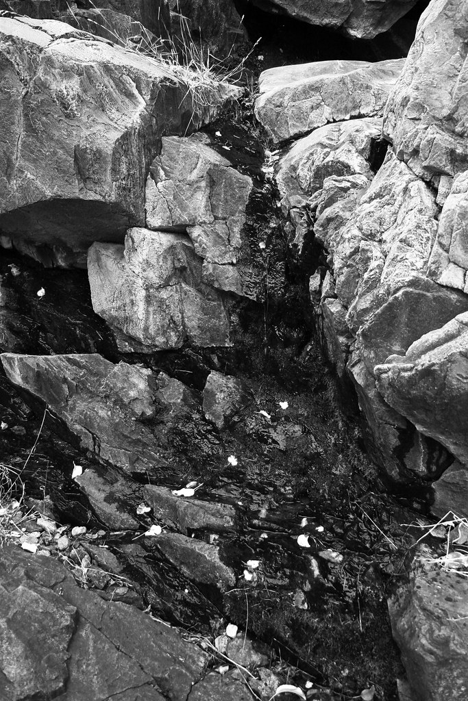 Timber TrailHikingPhoto: rdmey, CC BY 2.0 (via Flickr)0.1 mi
- Nature Trail BouldersRock climbing0.9 mi
- South Face of Arthur's RockRock climbing1 mi
 Lory State ParkState parkPhoto: Jeffrey Beall, CC BY 4.0 (via Wikimedia Commons)1.5 mi
- Reservoir Ridge Natural AreaState park2.8 mi
 Cache la Poudre RiverCanoeingPhoto: Wusel007, CC BY-SA 3.0 (via Wikimedia Commons)5.7 mi
- Filter Plant River Put-InBoat launch8.4 mi
Source: Roamze catalog (indexable pages within 10 miles, PostGIS distance)
 Stove Prairie Landing CampgroundCamping · ~22 min drivePhoto: Stephen Hornbeck, CC BY 4.0 (via Wikimedia Commons)
 Flatiron Reservoir CampgroundCamping · ~24 min drivePhoto: Ken Lund — CC BY-SA 2.0 (via Flickr)
- Backcountry Site 5Camping · Next door
- Backcountry Site 4Camping · Next door
- Backcountry Site 2Camping · ~1 min drive
- Backcountry Site 1Camping · ~1 min drive
- HM1Camping · ~5 min drive
- Inlet Bay CampgroundCamping · ~7 min drive
- Inlet Bay CampgroundCamping · ~7 min drive
- Horsetooth Inn & R.V. ParkCamping · ~7 min drive
Also worth it near here
- Timber TrailHiking · Next doorPhoto: rdmey, CC BY 2.0 (via Flickr)
- kimmons trailMountain biking · ~1 min drive
 Eltuck BayRock climbing · ~2 min drivePhoto: KimonBerlin, CC BY-SA 2.0 (via Flickr)
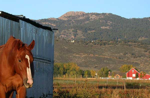 Horsetooth MountainSummit · ~4 min drivePhoto: Matthew Trump (talk) (Uploads)
Uploaded by Decumanus at en.wikipedia, CC BY-SA 3.0 (via Wikimedia Commons)
Best time to visit Backcountry Site 6
Best months: May–October. Best months have typical highs of 55–85 °F, lows of 30 °F or warmer (32 °F where the station doesn't record snow), at most one snowy day and no more than 12 wet days.
Jan
40° / 21°
5 wet
Feb
40° / 20°
6 wet
Mar
47° / 26°
8 wet
Apr
51° / 30°
10 wet
May
60° / 39°
12 wet
Jun
72° / 49°
11 wet
Jul
79° / 56°
11 wet
Aug
78° / 55°
11 wet
Sep
70° / 47°
8 wet
Oct
57° / 36°
7 wet
Nov
47° / 28°
6 wet
Dec
40° / 20°
6 wet
Typical high / low (°F) and days with rain or snow, 1991–2020. Measured at Buckhorn Mtn 1 E, CO, 5.7 mi away at 7,400 ft. The station sits about 700 ft higher than this place, so expect it a little warmer here. This station doesn't record snowfall. Source: NOAA NCEI U.S. Climate Normals 1991–2020.
Map and trail data © OpenStreetMap contributors
