Reds Meadow Campground
Campground
Campground · 2.4 mi from the trail
 Photo: C.D. Miller, Public domain (via Wikimedia Commons)
Alert in the area
The Forest Service lists 3 alerts for Inyo National Forest.
Help Halt Golden Mussel Invasion
Agency alert covering Inyo National Forest · USFS · Inyo National Forest
Ansel Adams and John Muir Wilderness Campfire Restrictions
Agency alert covering Inyo National Forest · Order 05-04-50-25-04 · USFS · Inyo National Forest
Golden Trout and Hoover Wilderness Campfire Restrictions
Agency alert covering Inyo National Forest · Order 05-04-50-25-05 · USFS · Inyo National Forest
As of · Source: USFS · Inyo National Forest. Agencies don't list every closure — check before you go.
Red Cones is a summit of 9,005 feet in the John Muir Wilderness, part of the Mammoth Ranger District of Inyo National Forest in California. The Forest Service manages the land, and the nearest town is Mammoth Lakes, about 4.6 miles away. Summer is the most comfortable time to visit. Typical averages from a nearby weather station at Mammoth Lakes show July highs around 78°F with lows near 49°F, and the summit sits higher than that station, so expect it to run a little cooler. The John Muir Trail passes about 0.4 miles from the summit, and the Red Cones Cutoff mountain biking route is about 0.3 miles away. Climbers can head to Mammoth Crest, about 1.7 miles off, and Reds Meadow Campground, about 2.4 miles away, offers a place to stay.
Reds Meadow Campground
Campground
free natural hot pool
Hot spring
Places © OpenStreetMap contributors, Places © Overture Maps Foundation
More in Mammoth LakesDaily highs and lows, wind and the chance of precipitation at the summit for the next 7 days, from the Open-Meteo model.
Elevation from USGS 3D Elevation Program terrain data (about 10 m resolution).
We don't know of a mapped trail or route to the summit of Red Cones. Plan the approach with local maps, a guidebook or a local guide, and check conditions before you go.
9,005 ft (2,745 m).
We don't know of a mapped trail or route to the summit. Plan the approach with local maps, a guidebook or a local guide.

 John Muir TrailHikingPhoto: Matt Lavin, CC BY-SA 2.0 (via Flickr)0.4 mi
 Mammoth CrestRock climbingPhoto: mjhbower, CC BY-SA 2.0 (via Flickr)1.7 mi
Source: Roamze catalog (indexable pages within 10 miles, PostGIS distance)
 Mammoth MountainSummit · ~6 min drivePhoto: Hike395 (talk · contribs), CC BY 3.0 (via Wikimedia Commons)
 Minaret SummitSummit · ~8 min drivePhoto: Mav at English Wikipedia, CC BY-SA 3.0 (via Wikimedia Commons)
 MinaretsSummit · ~14 min drivePhoto: US National Park Service, Public domain (via Wikimedia Commons)
 Bloody MountainSummit · ~15 min drivePhoto: Adorabutton, CC BY-SA 3.0 (via Wikimedia Commons)
 Laurel MountainSummit · ~16 min drivePhoto: Frank Kovalchek from Anchorage, Alaska, USA, CC BY 2.0 (via Wikimedia Commons)
 Mount RitterSummit · ~18 min drivePhoto: Mel, CC BY-SA 2.0 (via Wikimedia Commons)
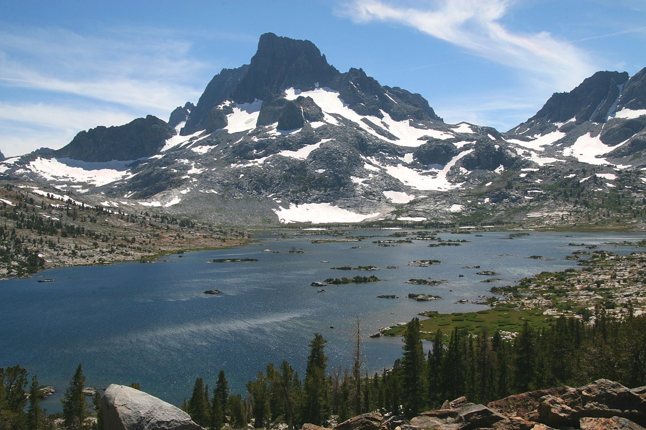 Banner PeakSummit · ~18 min drivePhoto: Dcrjsr (talk · contribs), CC BY 3.0 (via Wikimedia Commons)
 Mount MorrisonSummit · ~19 min drivePhoto: The original uploader was Geographer at English Wikipedia., CC BY 1.0 (via Wikimedia Commons)
 Carson PeakSummit · ~20 min drivePhoto: Sandip Bhattacharya, CC BY 2.0 (via Wikimedia Commons)Red Slate MountainSummit · ~20 min drivePhoto: Poppy (talk · contribs), CC BY-SA 3.0 (via Wikimedia Commons)
Also worth it near here
Mammoth Pass CutoffHiking · Next doorPhoto: Matt Lavin, CC BY-SA 2.0 (via Flickr) Rainbow FallsWaterfall · ~3 min drivePhoto: Frank Kovalchek from Anchorage, Alaska, USA, CC BY 2.0 (via Wikimedia Commons)Mammoth CrestRock climbing · ~3 min drivePhoto: mjhbower, CC BY-SA 2.0 (via Flickr)
 Mammoth Pass - Red's MeadowMountain biking · ~3 min drivePhoto: Akos Kokai, CC BY 2.0 (via Wikimedia Commons)
Best months: May–September. Best months have typical highs of 55–85 °F, lows of 30 °F or warmer (32 °F where the station doesn't record snow), at most one snowy day and no more than 12 wet days.
Jan
41° / 17°
Feb
41° / 18°
Mar
45° / 22°
Apr
51° / 27°
May
60° / 35°
Jun
70° / 42°
Jul
78° / 49°
Aug
77° / 47°
Sep
71° / 40°
Oct
61° / 30°
Nov
49° / 23°
Dec
41° / 17°
Typical high / low (°F) and days with rain or snow, 1991–2020. Measured at Mammoth Lakes Rs, CA, 6.7 mi away at 7,804 ft. The station sits about 1,200 ft lower than this place, so expect it a little cooler here. This station doesn't record snowfall. Source: NOAA NCEI U.S. Climate Normals 1991–2020.
