Santa Barbara Sunrise RV Park
Campground
Campground · 3.3 mi from the trail
Ortega Hill is a summit in California, about 1.3 miles from the town of Summerland. It sits at 245 feet, and the Ortega Hill Trail and QAD Trail both start within a tenth of a mile, making it an easy anchor for a short walk or a longer outing on the network of trails that runs through this corner of the state. Late summer into early fall is the warmest stretch. Typical averages from a nearby weather station in Santa Barbara show September highs around 78°F with lows near 60°F and almost no wet days, while winter brings highs in the mid-60s and about seven wet days a month. The Ortega Ridge Trail lies about 0.3 miles away, and the Coffin Family Trail is about 0.2 miles off. Climbers can find San Ysidro about 2.3 miles away and Romero Canyon Bouldering about 2.6 miles away.
Santa Barbara Sunrise RV Park
Campground
Tinker's Burgers
Restaurant
History museum in Carpinteria, California
Places © OpenStreetMap contributors
More in CarpinteriaDaily highs and lows, wind and the chance of precipitation at the summit and route start for the next 7 days, from the Open-Meteo model.
Elevation from USGS 3D Elevation Program terrain data (about 10 m resolution).
| Ortega Hill Trail | QAD Trail | |
|---|---|---|
| Climbing | About 311 ft | About 224 ft |
| Round trip | 0.6 mi | 0.8 mi |
| Difficulty | Easy | Easy |
| Terrain | Hike | Hike |
245 ft (75 m).
2: Ortega Hill Trail and QAD Trail.
Ortega Hill Trail, about 0.6 mi round trip.

 Ortega Hill TrailHikingPhoto: Damian Gadal, CC BY 2.0 (via Wikimedia Commons)0.1 miQAD TrailHikingPhoto: Damian Gadal, CC BY 2.0 (via Wikimedia Commons)0.1 mi
 Ortega Ridge TrailHikingPhoto: sergei.gussev, CC BY 2.0 (via Flickr)0.3 mi
Source: Roamze catalog (indexable pages within 10 miles, PostGIS distance)
 Little Pine MountainSummit · ~25 min drivePhoto: Ymblanter, CC BY-SA 3.0 (via Wikimedia Commons)Madulce PeakSummit · ~32 min drivePhoto: U.S. Forest Service-Los Padres National Forest, Public domain (via Wikimedia Commons)
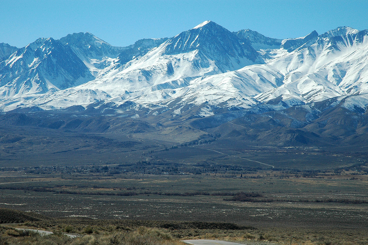 Big Pine MountainSummit · ~33 min drivePhoto: Clinton Steeds from Los Angeles, USA, CC BY 2.0 (via Wikimedia Commons)
 Figueroa MountainSummit · ~53 min drivePhoto: Doc Searls from Santa Barbara, USA, CC BY 2.0 (via Wikimedia Commons)
 Hines PeakSummit · ~53 min drivePhoto: Chevy111, CC BY-SA 4.0 (via Wikimedia Commons)
 South MountainSummit · ~58 min drivePhoto: Antandrus at English Wikipedia, CC BY-SA 3.0 (via Wikimedia Commons)
 Sawmill MountainSummit · ~1h 3m drivePhoto: Cygnus (talk), CC BY 3.0 (via Wikimedia Commons)
 Caliente MountainSummit · ~1h 14m drivePhoto: Antandrus at English Wikipedia, CC BY-SA 3.0 (via Wikimedia Commons)
 Boney PeakSummit · ~1h 15m drivePhoto: Justin Johnsen (Justin.Johnsen), CC BY-SA 3.0 (via Wikimedia Commons)
 Frazier MountainSummit · ~1h 15m drivePhoto: Elbonian, CC BY-SA 4.0 (via Wikimedia Commons)
Also worth it near here
Best months: Year-round. Best months have typical highs of 55–85 °F, lows of 30 °F or warmer (32 °F where the station doesn't record snow), at most one snowy day and no more than 12 wet days.
Jan
67° / 47°
7 wet
Feb
67° / 47°
7 wet
Mar
68° / 49°
7 wet
Apr
71° / 51°
3 wet
May
72° / 54°
2 wet
Jun
73° / 57°
1 wet
Jul
76° / 60°
0 wet
Aug
78° / 60°
0 wet
Sep
78° / 60°
1 wet
Oct
76° / 56°
2 wet
Nov
71° / 50°
3 wet
Dec
66° / 46°
6 wet
Typical high / low (°F) and days with rain or snow, 1991–2020. Measured at Santa Barbara, CA, 4.3 mi away at 16 ft. Source: NOAA NCEI U.S. Climate Normals 1991–2020.

