Tioga Lake Cg
Campground
Campground · 4.2 mi from the trail
 Photo: Daniel Mayer (talk · contribs), cropped by Hike395 (talk · contribs), CC BY-SA 3.0 (via Wikimedia Commons)
Closure in the area
There's a closure order in Yosemite National Park. It doesn't name Mount Gibbs, so check the source for the area it covers (3 listed).
Big Oak Flat Road will close Nov 18 at 8 am
Park closure covering Yosemite National Park · NPS · Yosemite National Park
Campgrounds and Curry Village tent cabins are closed due to a winter storm
Park closure covering Yosemite National Park · NPS · Yosemite National Park
Tioga and Glacier Point Roads are closed due snow
Park closure covering Yosemite National Park · NPS · Yosemite National Park
As of · Source: NPS · Yosemite National Park. Agencies don't list every closure — check before you go.
Mount Gibbs is a summit of about 12,764 feet in Tuolumne County, California, inside Yosemite National Park and the Yosemite Wilderness. The land is managed by the Forest Service, and the nearest town is Lee Vining, about 7 miles away. Several trails start within about 1.5 miles, including Parker Pass Trail, Spillway Lake Trail and Mono Pass Trail. Tioga Lake Campground lies about 4 miles away.
Tioga Lake Cg
Campground
 If it rainsEeekster, CC BY 3.0 · Wikimedia Commons
Sierra Point
Viewpoint
Point in Yosemite National Park at the eastern end of the valley
Places © OpenStreetMap contributors · Photos: Eeekster, CC BY 3.0 (commons)
More in Mammoth LakesDaily highs and lows, wind and the chance of precipitation at the summit for the next 7 days, from the Open-Meteo model.
Elevation from USGS 3D Elevation Program terrain data (about 10 m resolution).
We don't know of a mapped trail or route to the summit of Mount Gibbs. Plan the approach with local maps, a guidebook or a local guide, and check conditions before you go.
12,764 ft (3,890 m).
We don't know of a mapped trail or route to the summit. Plan the approach with local maps, a guidebook or a local guide.


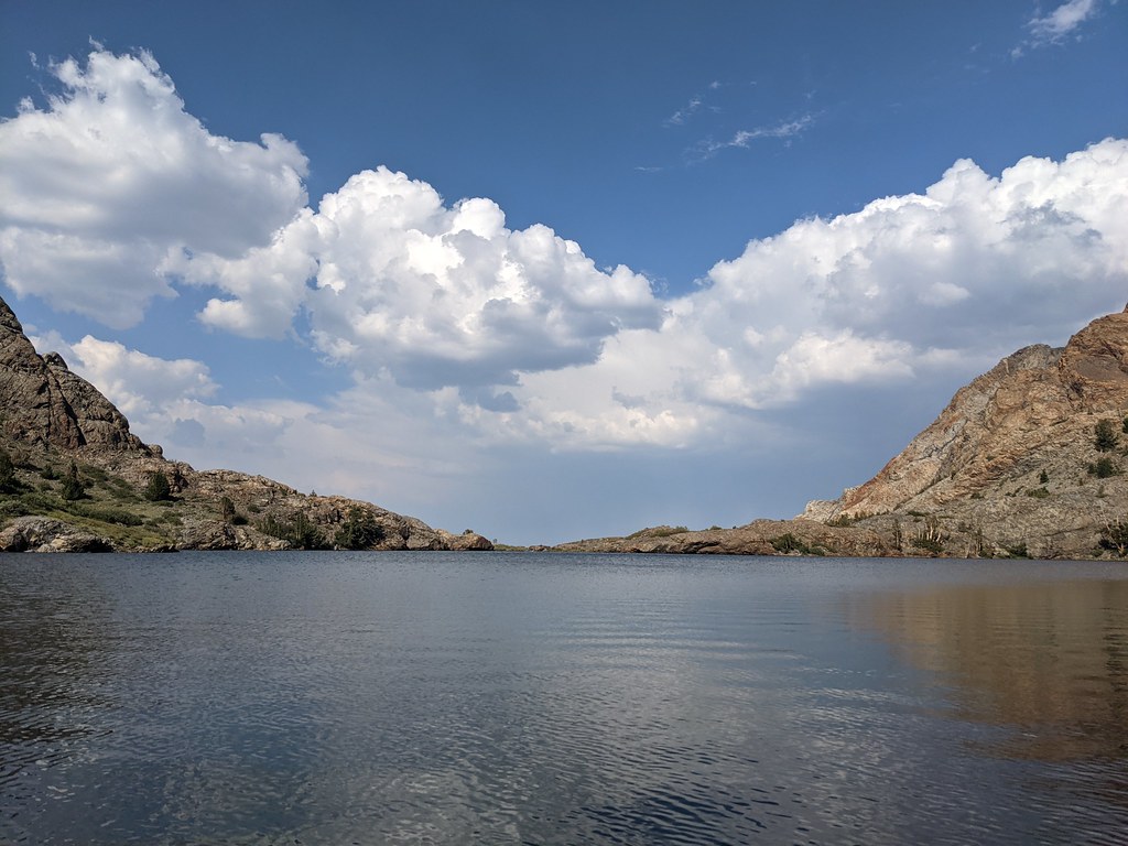 Parker Pass TrailHikingPhoto: Jesse Wagstaff, CC BY 2.0 (via Flickr)1.5 mi
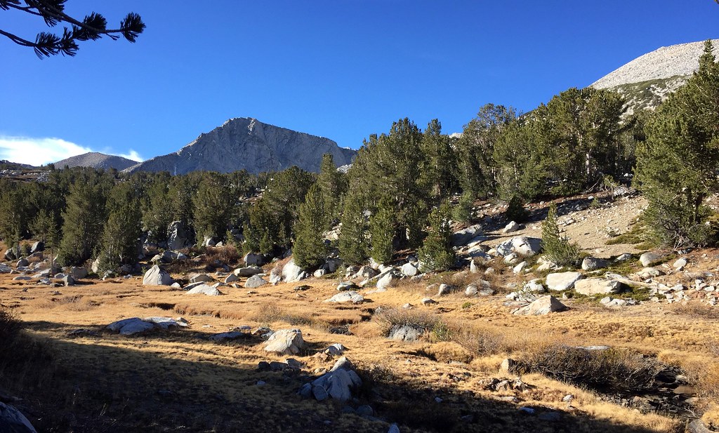 Spillway Lake TrailHikingPhoto: scorpio-tiger, CC BY-SA 2.0 (via Flickr)1.5 miMono Pass TrailHikingPhoto: scorpio-tiger, CC BY-SA 2.0 (via Flickr)1.5 mi
 Tioga Lake CgCampingPhoto: waterarchives — CC BY-SA 2.0 (via Flickr)4.2 mi
 Rush CreekCanoeingPhoto: Greg Reis, CC BY-SA 3.0 (via Wikimedia Commons)5.7 mi
Source: Roamze catalog (indexable pages within 10 miles, PostGIS distance)
Mount DanaSummit · ~3 min drivePhoto: Jim Bahn, CC BY 2.5 (via Wikimedia Commons) Mount LewisSummit · ~5 min drivePhoto: Jesse Wagstaff, CC BY 2.0 (via Wikimedia Commons)
 Mammoth PeakSummit · ~5 min drivePhoto: Akos Kokai, CC BY 2.0 (via Wikimedia Commons)Koip PeakSummit · ~8 min drivePhoto: Smokeybear69, CC BY-SA 4.0 (via Wikimedia Commons)
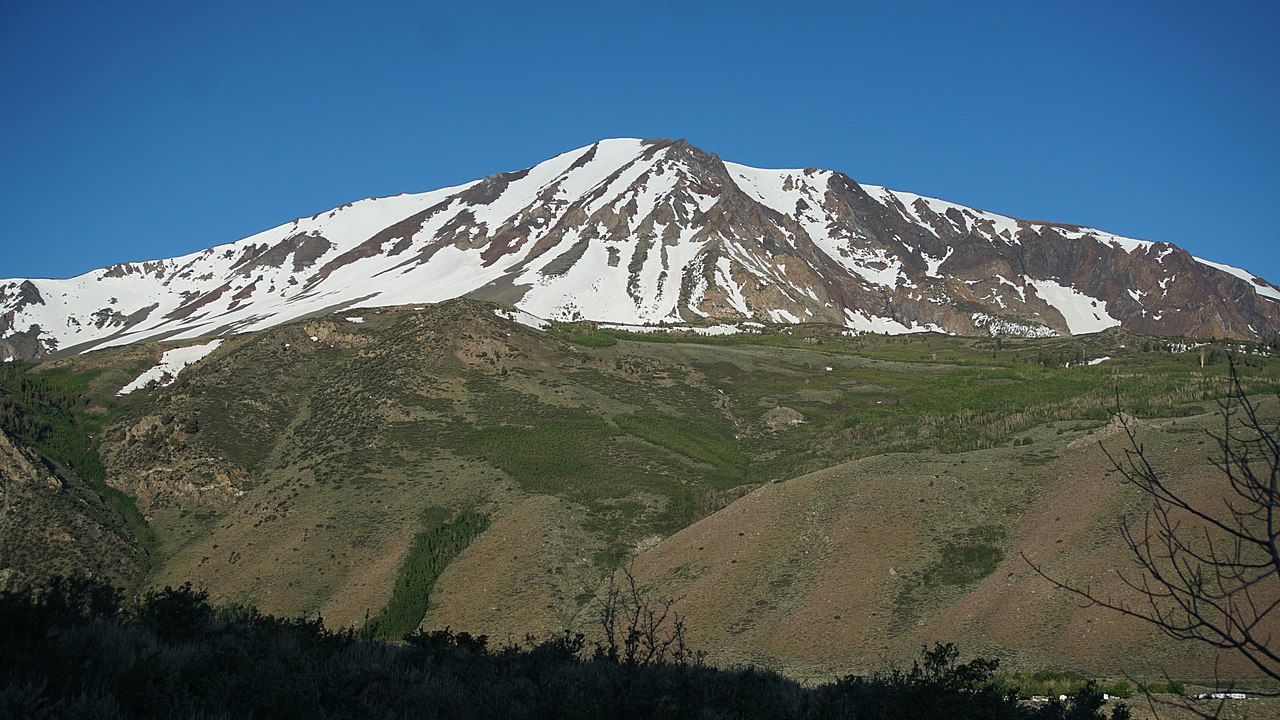 Mount WoodSummit · ~9 min drivePhoto: lovz2hike, CC BY-SA 2.0 (via Wikimedia Commons)
 Tioga PeakSummit · ~9 min drivePhoto: C N, CC BY-SA 2.0 (via Wikimedia Commons)
 Lee Vining PeakSummit · ~11 min drivePhoto: C N, CC BY-SA 2.5 (via Wikimedia Commons)
 Donohue PeakSummit · ~12 min drivePhoto: HikingMike, CC BY 2.0 (via Wikimedia Commons)
 Puppy DomeSummit · ~13 min drivePhoto: Pacific Southwest Region USFWS from Sacramento, US, Public domain (via Wikimedia Commons)Lembert DomeSummit · ~13 min drivePhoto: Inklein, CC BY 3.0 (via Wikimedia Commons)
Also worth it near here
Parker Pass TrailHiking · ~3 min drivePhoto: Jesse Wagstaff, CC BY 2.0 (via Flickr) Just Another Social Distancing CragRock climbing · ~7 min drivePhoto: King of Hearts, CC BY-SA 3.0 (via Wikimedia Commons)Tioga Lake CgCamping · ~7 min drivePhoto: waterarchives — CC BY-SA 2.0 (via Flickr)
