Mountain · 1 route
Magee Peak
8,550 ft · California
- Summit
- 8,550 ft
- Routes
- 1 way up
- Season
- Year-round
Route up Magee Peak
About Magee Peak
Magee Peak is a summit of 8,550 feet in the Thousand Lakes Wilderness, part of the Hat Creek Ranger District of Lassen National Forest in California. The nearest town is Hat Creek, about 10 miles away. Several hikes start close by. Magee Lake is about 3 miles away, and Tamarack Magee Tie and Cypress are each about 3.4 miles off. For an overnight base, Hat Creek campground sits roughly 9 miles from the summit.
Forecast on Magee Peak
Daily highs and lows, wind and the chance of precipitation at the summit and route start for the next 7 days, from the Open-Meteo model.
Questions about Magee Peak
How tall is Magee Peak?
8,550 ft (2,606 m).
How many routes go to the summit of Magee Peak?
One: Magee Peak.
When is the best time to climb Magee Peak?
Year-round.
Mountains nearby
 Lassen Peak10,450 ft · California1 route15 mi awayPhoto: Frank Schulenburg, CC BY-SA 4.0 (via Wikimedia Commons)
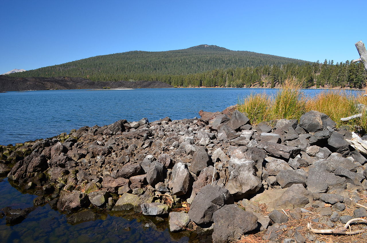 Prospect Peak8,341 ft · California1 route16 mi awayPhoto: LassenNPS, Public domain (via Wikimedia Commons)
 Brokeoff Mountain9,236 ft · California1 route17 mi awayPhoto: LassenNPS, Public domain (via Wikimedia Commons)
 Cinder Cone6,909 ft · California3 routes19 mi awayPhoto: DimiTalen, CC BY-SA 3.0 (via Wikimedia Commons)
- Inspiration Point7,202 ft · California1 route22 mi away
 Mount Harkness8,051 ft · California1 route24 mi awayPhoto: LassenNPS, Public domain (via Wikimedia Commons)
Facts about this place
Where it is
- Thousand Lakes Wilderness · Wilderness
- Hat Creek Ranger District · Ranger district
- Lassen National Forest · National forest
- Nearest town
- Hat Creek, California · 10 mi
Source: Wilderness.net boundaries; USFS EDW boundaries; USGS GNIS populated places
Conditions
Active alerts for Lassen National Forest as of Oct 9, 2026:
SAFETY ALERT - South Antelope Bridge out, Do Not Cross
critical · posted Aug 24, 2026
critical · posted Aug 24, 2026
Lassen National Forest Camping Restrictions
information · posted Aug 24, 2026
Lake Almanor Area Camping Restriction
information · posted Aug 24, 2026
Lake Almanor Recreational Trail Restriction
information · posted Aug 24, 2026
Source: USFS forest alerts
Nearby
- Magee LakeHiking3 mi
- Tamarack Magee TieHiking3.4 mi
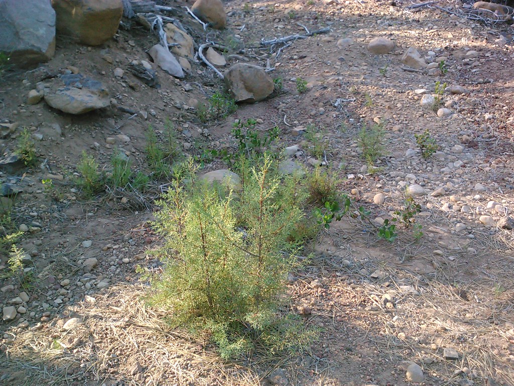 CypressHikingPhoto: theforestprimeval, CC BY-SA 2.0 (via Flickr)3.4 mi
- Lake EilerHiking3.7 mi
- Honn CreekCamping8.7 mi
- Big PineCamping8.9 mi
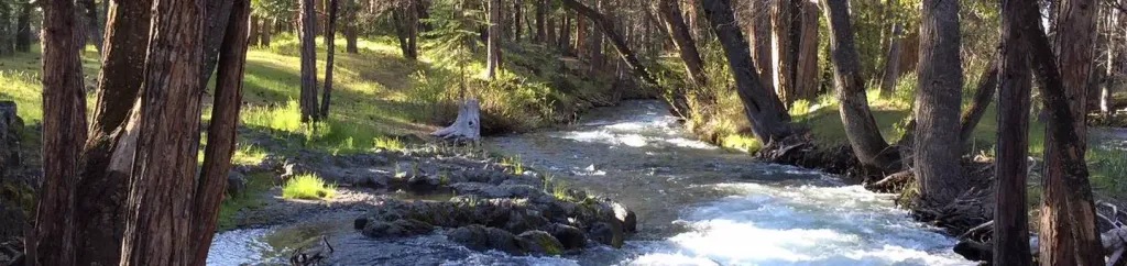 Hat CreekCampingPhoto: Recreation.gov (RIDB) / public domain9.2 mi
- BridgeCamping9.9 mi
Source: Roamze catalog (indexable pages within 10 miles, PostGIS distance)
Is Magee Peak open right now?
Closure in the area
There's a closure order in Lassen National Forest. It doesn't name Magee Peak, so check the source for the area it covers (2 listed).
Forest Road Closure Order
Agency closure covering Lassen National Forest · Order 06-26-01 · USFS · Lassen National Forest
SAFETY ALERT - South Antelope Bridge out, Do Not Cross
Agency closure covering Lassen National Forest · USFS · Lassen National Forest
As of · Source: USFS · Lassen National Forest. Agencies don't list every closure — check before you go.
