Bridge
- May–Jun, Sep
- best months
Is Bridge open right now?
Closure in the area
There's a closure order in Lassen National Forest. It doesn't name Bridge, so check the source for the area it covers (3 listed).
Harmful Algal Blooms
Agency closure covering Lassen National Forest · USFS · Lassen National Forest
Forest Road Closure Order
Agency closure covering Lassen National Forest · Order 06-26-01 · USFS · Lassen National Forest
SAFETY ALERT - South Antelope Bridge out, Do Not Cross
Agency closure covering Lassen National Forest · USFS · Lassen National Forest
As of · Source: USFS · Lassen National Forest. Agencies don't list every closure — check before you go.
- At 3,900 ft
- Hat Creek Ranger DistrictLassen National Forest
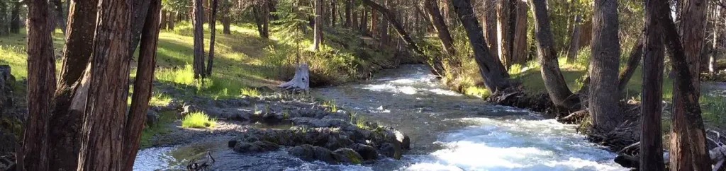
Bridge is a developed campground on scenic Hat Creek in the Hat Creek Ranger District of Lassen National Forest, about 4 miles from the town of Old Station, California. The Forest Service manages the land, and the site is set up for both overnight stays and day use. All the campsites have fire rings and barbeques, and the campground also has day use parking and access to the Fishermen's Trail. Vault toilets are the on-site restroom option. For comfortable weather, aim for late spring or early fall. Typical averages from the nearby Burney weather station show May highs around 72°F and September highs around 81°F, while July and August average in the low to mid 90s. The Hat Creek Fisherman's Trail starts just 0.2 miles away, and the Rocky campground is 0.7 miles off. Climbers can head to Plum Valley, about 2.4 miles away, and Cave Campground is roughly 3.3 miles away.
 Hat Creek Fisherman's TrailHikingPhoto: BoltSnypr, CC BY 3.0 (via Wikimedia Commons)0.2 mi
- RockyCamping0.7 mi
- Plum ValleyRock climbing2.4 mi
 PARHAM'S POINT TRAILHikingPhoto: BoltSnypr, CC BY 3.0 (via Wikimedia Commons)2.7 mi
- Cave CampgroundCamping3.3 mi
 Subway Cave Interpretive TrailHikingPhoto: BoltSnypr, CC BY 3.0 (via Wikimedia Commons)3.3 mi
 Spattercone Crest TrailHikingPhoto: BoltSnypr, CC BY 3.0 (via Wikimedia Commons)4.3 mi
 Hat CreekCampingPhoto: Recreation.gov (RIDB) / public domain4.4 mi
Source: Roamze catalog (indexable pages within 10 miles, PostGIS distance)
- Lost Creek GroupCamping · ~21 min drive
- Butte Lake GroupCamping · ~23 min drive
- Butte Lake Stock CorralCamping · ~23 min drive
- Butte LakeCamping · ~23 min drive
- Manzanita LakeCamping · ~26 min drive
- Summit Lake NorthCamping · ~28 min drive
- Summit Lake Stock CorralCamping · ~28 min drive
- Summit Lake SouthCamping · ~29 min drive
- Juniper Lake Stock CorralCamping · ~36 min drive
- Juniper Lake GroupCamping · ~36 min drive
Best time to visit Bridge
Best months: May–June and September. Best months have typical highs of 55–85 °F, lows of 30 °F or warmer (32 °F where the station doesn't record snow), at most one snowy day and no more than 12 wet days.
Jan
45° / 23°
11 wet
Feb
49° / 24°
12 wet
Mar
55° / 27°
12 wet
Apr
61° / 31°
10 wet
May
72° / 37°
8 wet
Jun
81° / 42°
4 wet
Jul
90° / 47°
2 wet
Aug
88° / 44°
1 wet
Sep
81° / 38°
2 wet
Oct
68° / 30°
6 wet
Nov
52° / 26°
9 wet
Dec
44° / 22°
12 wet
Typical high / low (°F) and days with rain or snow, 1991–2020. Measured at Burney, CA, 15.3 mi away at 3,198 ft. The station sits about 700 ft lower than this place, so expect it a little cooler here. This station doesn't record snowfall. Source: NOAA NCEI U.S. Climate Normals 1991–2020.

