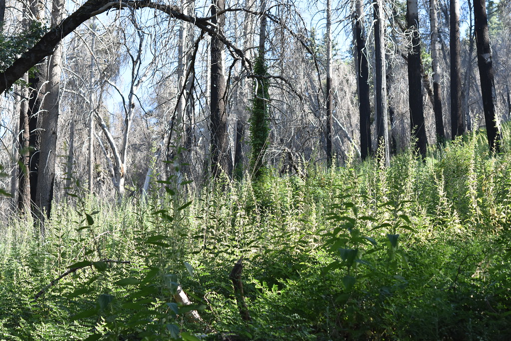
Harrison Serenity Ranch
Campground
Campground · 1.1 mi from the trail
Closure in the area
There's a closure order in Cleveland National Forest. It doesn't name Boucher Hill, so check the source for the area it covers.
Airport Fire Burned Area Closure
Agency closure covering Cleveland National Forest · Order 02-26-09 · USFS · Cleveland National Forest
Cedar Creek Falls Visitor Use Permit Area
Agency alert covering Cleveland National Forest · Order 02-26-07 · USFS · Cleveland National Forest
Cedar Creek Falls Cliff Closure Area
Agency alert covering Cleveland National Forest · Order 02-26-06 · USFS · Cleveland National Forest
Cedar Creek Falls Alcohol Prohibition
Agency alert covering Cleveland National Forest · USFS · Cleveland National Forest
As of · Source: USFS · Cleveland National Forest. Agencies don't list every closure — check before you go.
Boucher Hill is a summit of 5,450 feet in Palomar Mountain State Park, within the Palomar Ranger District of Cleveland National Forest in California. The nearest town is Pala, about 9 miles away. Spring and fall are the most comfortable times to visit. Typical averages from a nearby weather station at a similar elevation show May and October highs around 69°F with lows near 48°F and 51°F, while July and August average highs of 84°F. Winter brings the most wet days, with about seven a month from December through February, and a few snow days in each of those months. The Boucher Trail starts just 0.3 miles from the summit, and the Adams Trail and Scott's Cabin Trail are both within a mile. Fry Creek Campground, about 2.4 miles away, is the closest place to camp.
Harrison Serenity Ranch
Campground
El Rey
Restaurant
 If it rainsAlan Islas, CC BY-SA 4.0 · Wikimedia Commons
Living-history museum in Vista, California
Places © OpenStreetMap contributors · Photos: Alan Islas, CC BY-SA 4.0 (commons)
More in FallbrookDaily highs and lows, wind and the chance of precipitation at the summit and route start for the next 7 days, from the Open-Meteo model.
Elevation from USGS 3D Elevation Program terrain data (about 10 m resolution).
| Boucher Trail | Boucher Trail | |
|---|---|---|
| Climbing | About 395 ft | About 703 ft |
| Round trip | 1.1 mi | 1.7 mi |
| Difficulty | Easy | Easy |
| Terrain | Hike | Hike |
5,450 ft (1,661 m).
2: Boucher Trail and Boucher Trail.
Boucher Trail, about 1.1 mi round trip.
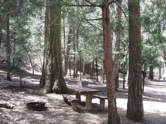 Fry Creek CampgroundCampingPhoto: Recreation.gov (RIDB) / public domain2.4 mi
 Observatory CampgroundCampingPhoto: Recreation.gov (RIDB) / public domain2.4 mi
 San Luis Rey RiverCanoeingPhoto: Michael Krehan, CC BY-SA 3.0 (via Wikimedia Commons)2.9 mi
Source: Roamze catalog (indexable pages within 10 miles, PostGIS distance)
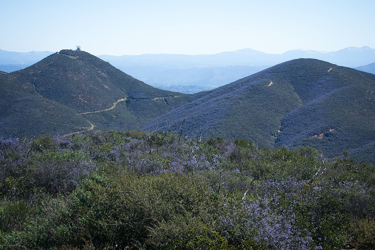 Double PeakSummit · ~37 min drivePhoto: Visitor7, CC BY-SA 3.0 (via Wikimedia Commons)
 Cerro de la CalaveraSummit · ~41 min drivePhoto: ZachR10, CC BY-SA 4.0 (via Wikimedia Commons)
 Twin PeaksSummit · ~43 min drivePhoto: Perdelsky at English Wikipedia, Public domain (via Wikimedia Commons)
 Iron MountainSummit · ~43 min drivePhoto: Robert DuHamel, CC BY-SA 3.0 (via Wikimedia Commons)
 Black MountainSummit · ~46 min drivePhoto: Lisa Brewster from San Francisco, USA, CC BY-SA 2.0 (via Wikimedia Commons)
 Redonda MesaSummit · ~46 min drivePhoto: Temeku at English Wikipedia, CC0 (via Wikimedia Commons)
 Margarita PeakSummit · ~48 min drivePhoto: Reginald Stanley, CC BY 2.0 (via Wikimedia Commons)
 Rome HillSummit · ~53 min drivePhoto: Z3lvs, CC0 (via Wikimedia Commons)
 Toro PeakSummit · ~54 min drivePhoto: Tylerfinvold at English Wikipedia, Public domain (via Wikimedia Commons)
 Cuyamaca PeakSummit · ~55 min drivePhoto: Tylerfinvold at en.wikipedia, Public domain (via Wikimedia Commons)
Also worth it near here
Best months: March–November. Best months have typical highs of 55–85 °F, lows of 30 °F or warmer (32 °F where the station doesn't record snow), at most one snowy day and no more than 12 wet days.
Jan
51° / 37°
7 wet · 1 snow
Feb
51° / 36°
7 wet · 2 snow
Mar
56° / 39°
6 wet · 1 snow
Apr
61° / 42°
4 wet · 1 snow
May
69° / 48°
2 wet
Jun
79° / 57°
1 wet
Jul
84° / 64°
1 wet
Aug
84° / 65°
1 wet
Sep
79° / 60°
1 wet
Oct
69° / 51°
2 wet
Nov
58° / 43°
4 wet
Dec
51° / 37°
6 wet · 1 snow
Typical high / low (°F) and days with rain or snow, 1991–2020. Measured at Palomar Mtn Obsy, CA, 5.5 mi away at 5,550 ft. Source: NOAA NCEI U.S. Climate Normals 1991–2020.